MyTopo
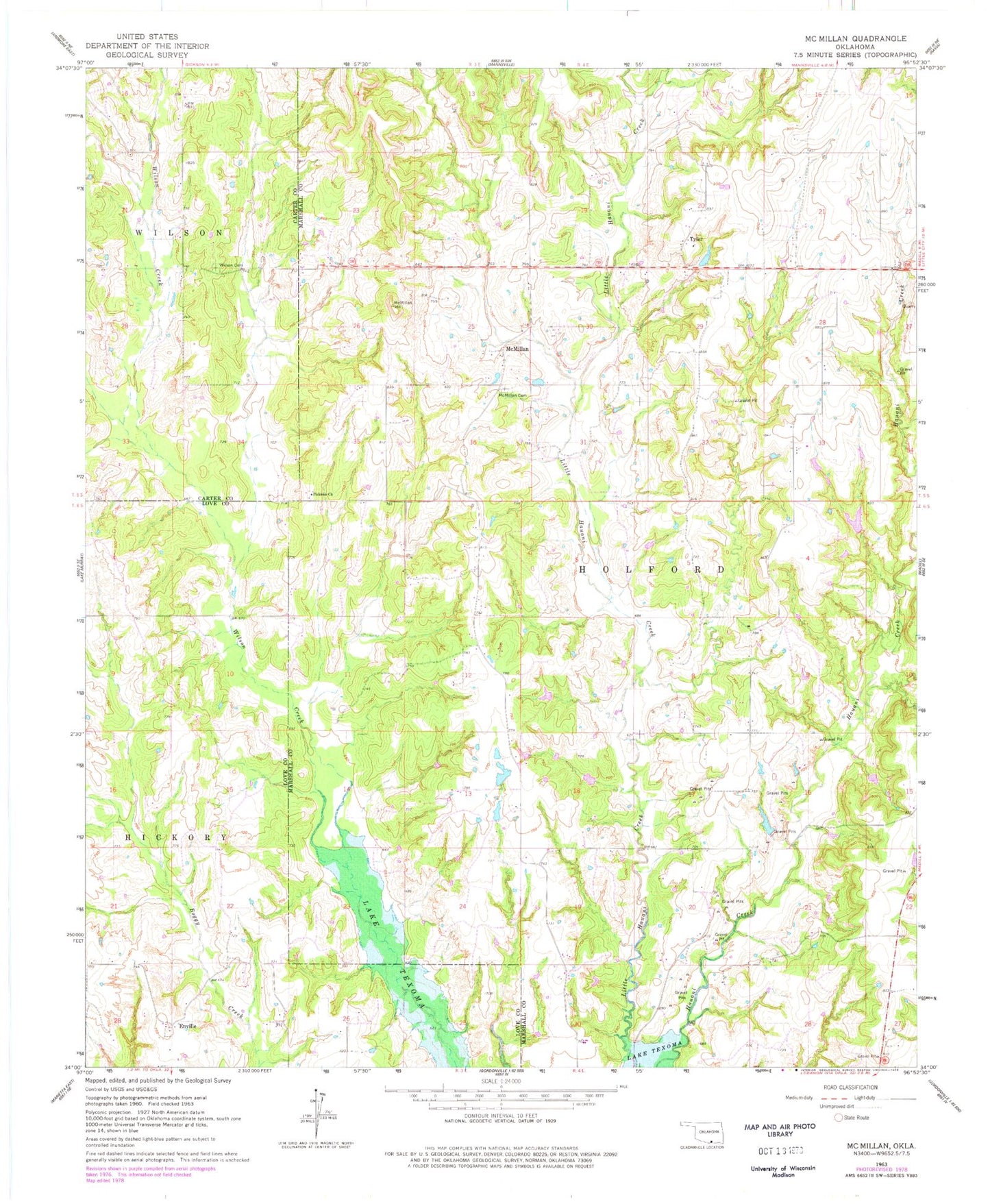
Classic USGS McMillan Oklahoma 7.5'x7.5' Topo Map
Couldn't load pickup availability
Historical USGS topographic quad map of McMillan in the state of Oklahoma. Map scale may vary for some years, but is generally around 1:24,000. Print size is approximately 24" x 27"
This quadrangle is in the following counties: Carter, Love, Marshall.
The map contains contour lines, roads, rivers, towns, and lakes. Printed on high-quality waterproof paper with UV fade-resistant inks, and shipped rolled.
Contains the following named places: Eville, Hauana Creek Fire Department, Hauani Creek, I Hunter Pickens Cemetery, Jack McDearman 8 Dam, Jack McDearman Reservoir, Jim Conrad Dam, Jim Conrad Reservoir, Keel Cemetery, McMillan, McMillan Cemetery, Milford Clement Dam, Milford Clement Reservoir, Oknoname 095001 Dam, Oknoname 095001 Reservoir, Pickens Cemetery, Pickens Church, Township of Halford, Tyler, Wilson Cemetery