MyTopo
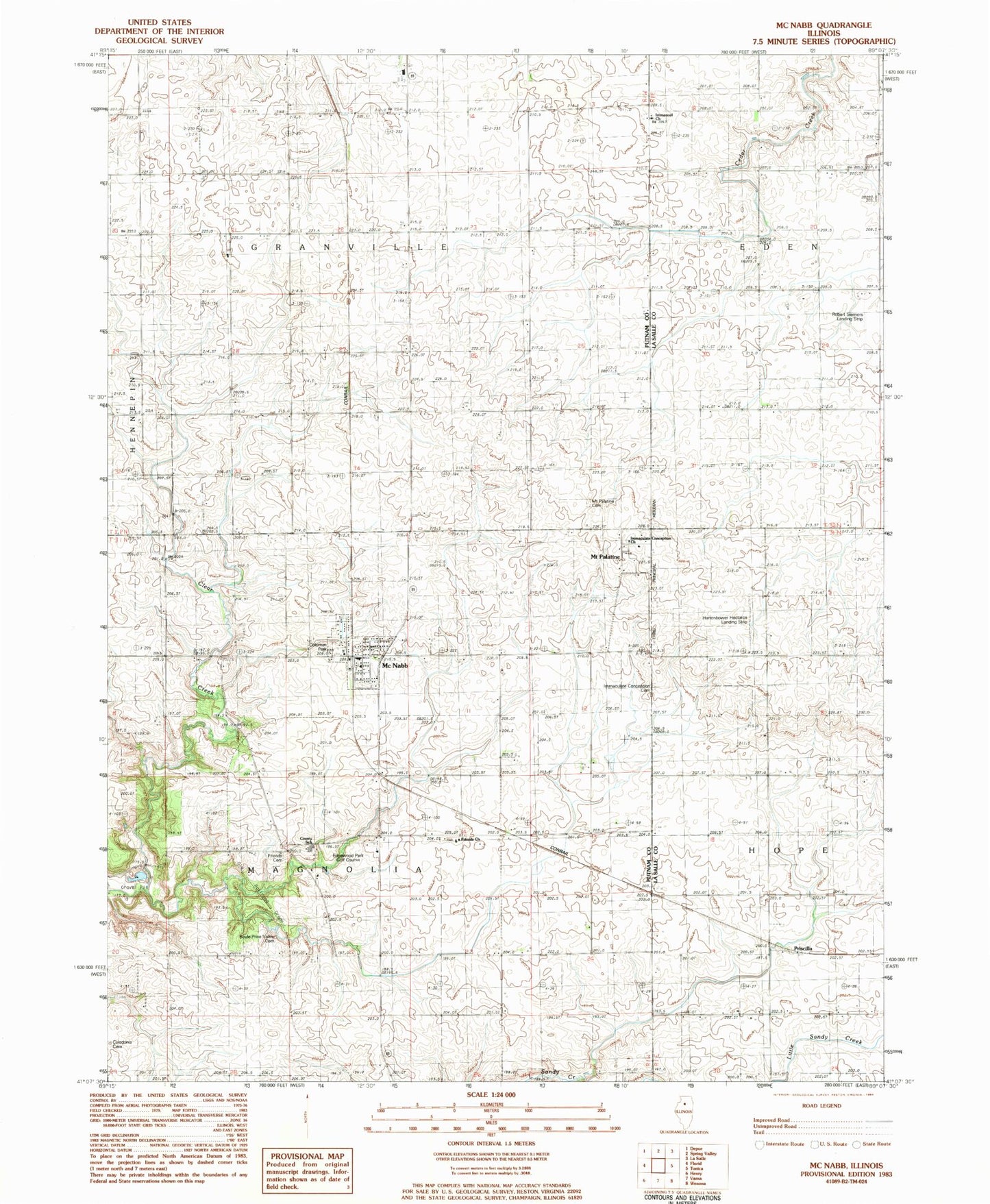
Classic USGS McNabb Illinois 7.5'x7.5' Topo Map
Couldn't load pickup availability
Historical USGS topographic quad map of McNabb in the state of Illinois. Map scale may vary for some years, but is generally around 1:24,000. Print size is approximately 24" x 27"
This quadrangle is in the following counties: LaSalle, Putnam.
The map contains contour lines, roads, rivers, towns, and lakes. Printed on high-quality waterproof paper with UV fade-resistant inks, and shipped rolled.
Contains the following named places: Black College School, Boyle - Price Valley Cemetery, Brennemann School, British Lane School, Caledonia Cemetery, Centerville School, Coleman Park, Dose School, Dysart School, Edgewood Park Golf Course, Fairview School, Friends Cemetery, Friends Church, Hartenbower Hectares Airport, Hullinger School, Immaculate Conception Cemetery, Immaculate Conception Church, Immanuel Church, John Swaney School, Mc Nabb Post Office, McNabb, Mcnabb City Police Department, McNabb Fire Department, Mount Palatine, Mount Palatine Cemetery Prairie Nature Preserve, Mount Palatine Public Cemetery, Powell School, Putnam County EMS, Putnam County Junior High School, Robert Siemers Landing Strip, Township of Magnolia, Village of McNabb, ZIP Codes: 61326, 61335