MyTopo
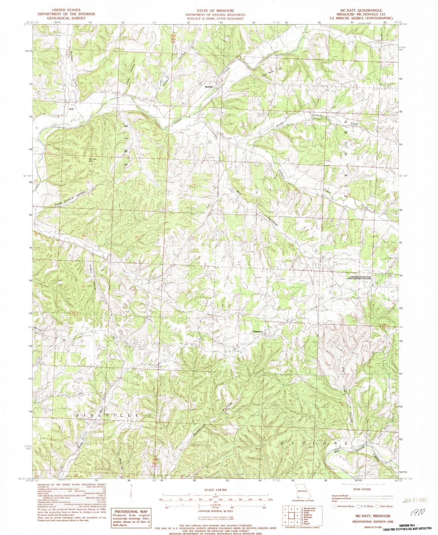
Classic USGS McNatt Missouri 7.5'x7.5' Topo Map
Couldn't load pickup availability
Historical USGS topographic quad map of McNatt in the state of Missouri. Map scale may vary for some years, but is generally around 1:24,000. Print size is approximately 24" x 27"
This quadrangle is in the following counties: McDonald.
The map contains contour lines, roads, rivers, towns, and lakes. Printed on high-quality waterproof paper with UV fade-resistant inks, and shipped rolled.
Contains the following named places: Barlow School, Big Cedar Hollow, Bullskin Creek, Bunker School, Christian Church, Coal Mine Hill, Dry Hollow, Elkhorn Creek, Elkhorn Tower State Public Hunting Grounds, Erie, Happy Hollow, Hungry Hollow, Indian Springs School, Little Cedar Hollow, McCullough Ford, McDonald County, McNatt, Moral, Mount Carmel Church, North Elkhorn Creek, Peach Orchard Hollow, Plainview, Puckett School, Salt Lick Gap, Steep Hollow, Township of Erie McNatt, Township of Pineville North, Wylie