MyTopo
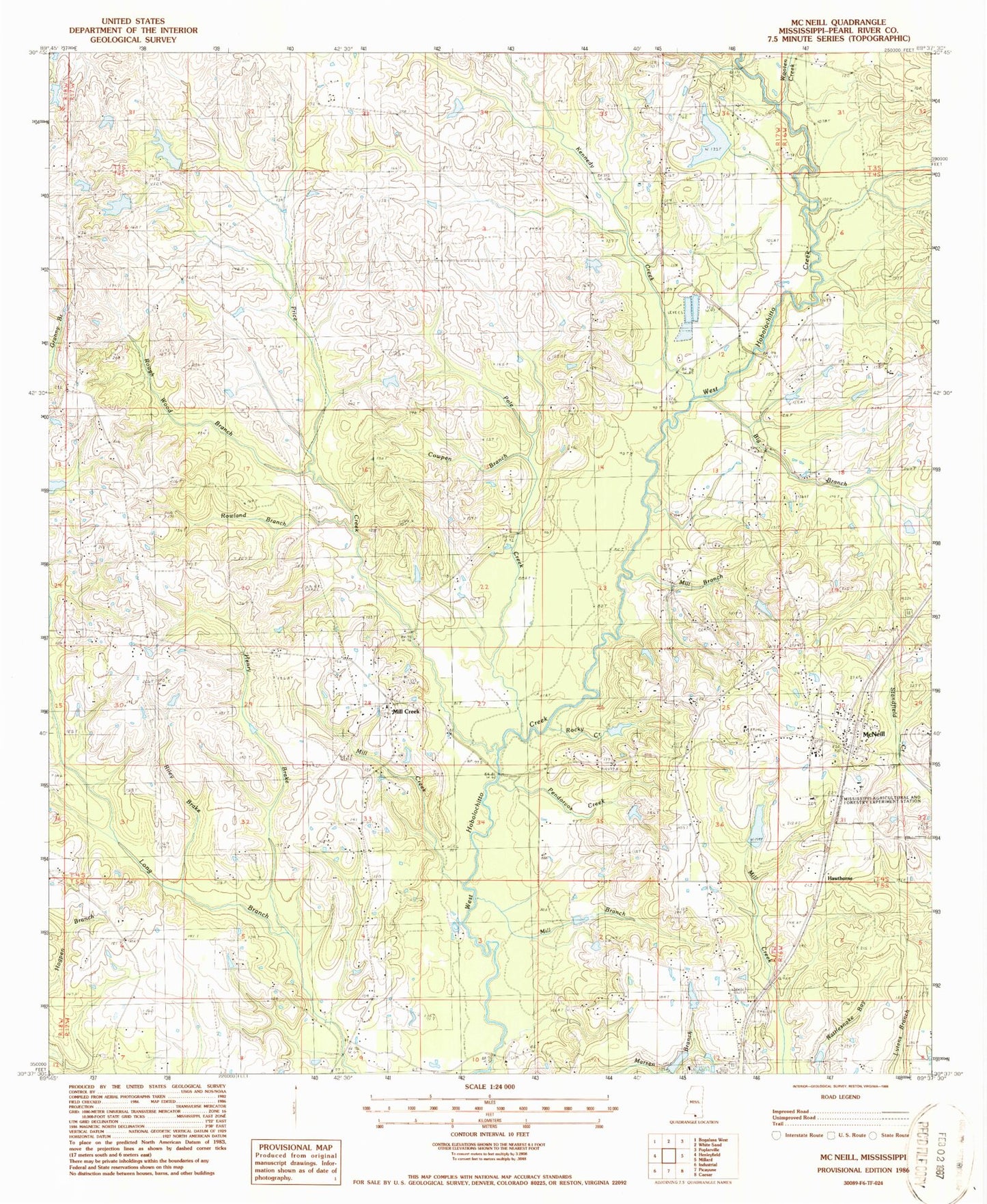
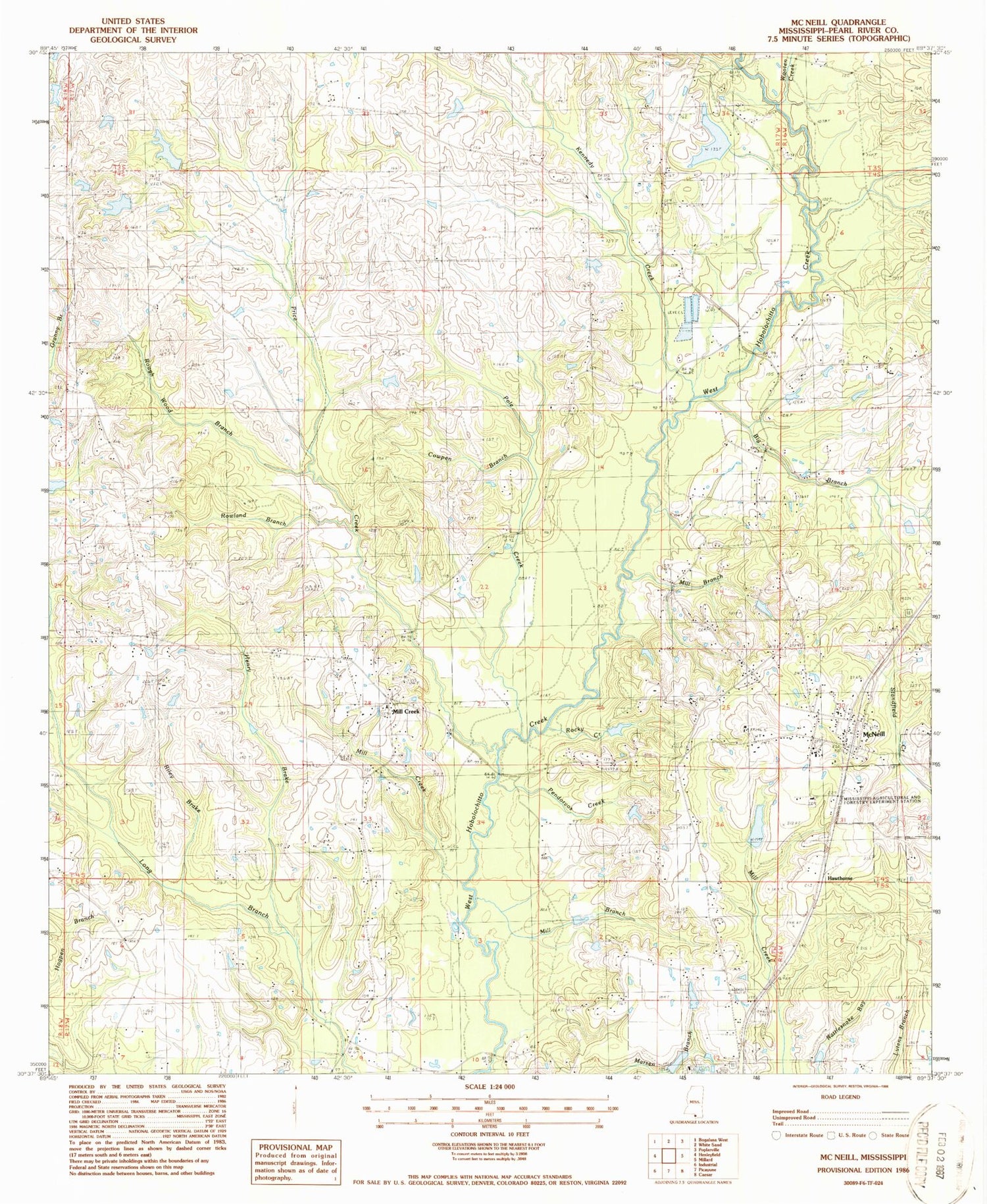
Classic USGS McNeill Mississippi 7.5'x7.5' Topo Map
Couldn't load pickup availability
Historical USGS topographic quad map of McNeill in the state of Mississippi. Map scale may vary for some years, but is generally around 1:24,000. Print size is approximately 24" x 27"
This quadrangle is in the following counties: Pearl River.
The map contains contour lines, roads, rivers, towns, and lakes. Printed on high-quality waterproof paper with UV fade-resistant inks, and shipped rolled.
Contains the following named places: Big Branch, Carriere Volunteer Fire Department Station 1 Headquarters, Central Baptist Church, Cowpen Branch, Crosby Chemical Company Lake Dam, Ellis Field, First Apostolic Church of McNeill, First Baptist Church, Ford Church, Greener Pastures Airpark, Hawthorne, Henry Brake, Hollman Cemetery, Hooper Skylark Field, Kennedy Creek, Lacy Lookout Tower, Langhurst Airport, Lee Chapel, McNeill, McNeill Post Office, McNeill Volunteer Fire Department, McNeill Volunteer Fire Department Substation, Mill Branch, Mill Creek, Mill Creek School, Mitchell Cemetery, Pearl River Central High School, Pearl River Central Upper Elementary School, Pendorvos Creek, Penton School, Pole Creek, Price Creek, Riley Brake, Rocky Creek, Roger Turners Lake Dam, Rough Wood Branch, Rowland Branch, Smith Cemetery, Sones Chapel, W H Amacker Lake Dam, White Chapel, Whitehead Cemetery, Wooten Creek, Zion Hill Baptist Church, ZIP Code: 39426


