MyTopo
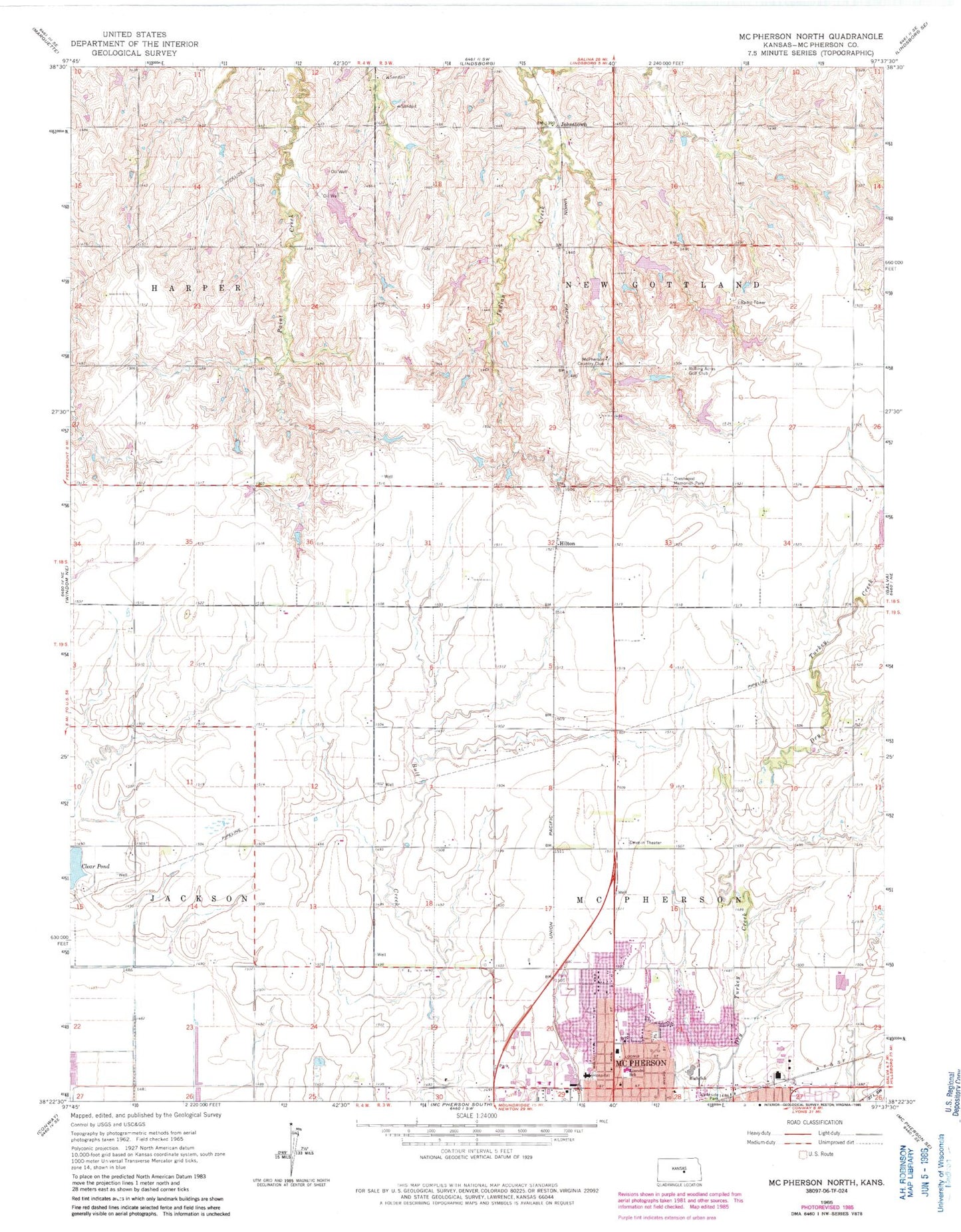
Classic USGS McPherson North Kansas 7.5'x7.5' Topo Map
Couldn't load pickup availability
Historical USGS topographic quad map of McPherson North in the state of Kansas. Map scale may vary for some years, but is generally around 1:24,000. Print size is approximately 24" x 27"
This quadrangle is in the following counties: McPherson.
The map contains contour lines, roads, rivers, towns, and lakes. Printed on high-quality waterproof paper with UV fade-resistant inks, and shipped rolled.
Contains the following named places: Center View School, Clear Pond, Countryside Covenant Church, Crestwood Memorial Park, Eisenhower Elementary School, First Church of God, First Presbyterian Church of McPherson, Grace Bible Church, Grace Evangelical Lutheran Church, Hilton, Johnstown, King's Highway Baptist Church, Lincoln Elementary School, McPherson Abundant Life Church of the Nazarene, McPherson Country Club, McPherson County, McPherson County Health Department, McPherson County Landfill, McPherson Emergency Medical Services, McPherson High School, McPherson Hospital, New Gottland School, New Hope Evangelical Church, New Life Foursquare Gospel Church, North Park, Rolling Acres Golf Club, Saint Joseph Catholic School, Saint Josephs Roman Catholic Church, Sunny Slope School, Team Marketing Alliance Grain Elevator Number 20, Township of McPherson, Township of New Gottland, ZIP Code: 67460


