MyTopo
Classic USGS McRae Arkansas 7.5'x7.5' Topo Map
Couldn't load pickup availability
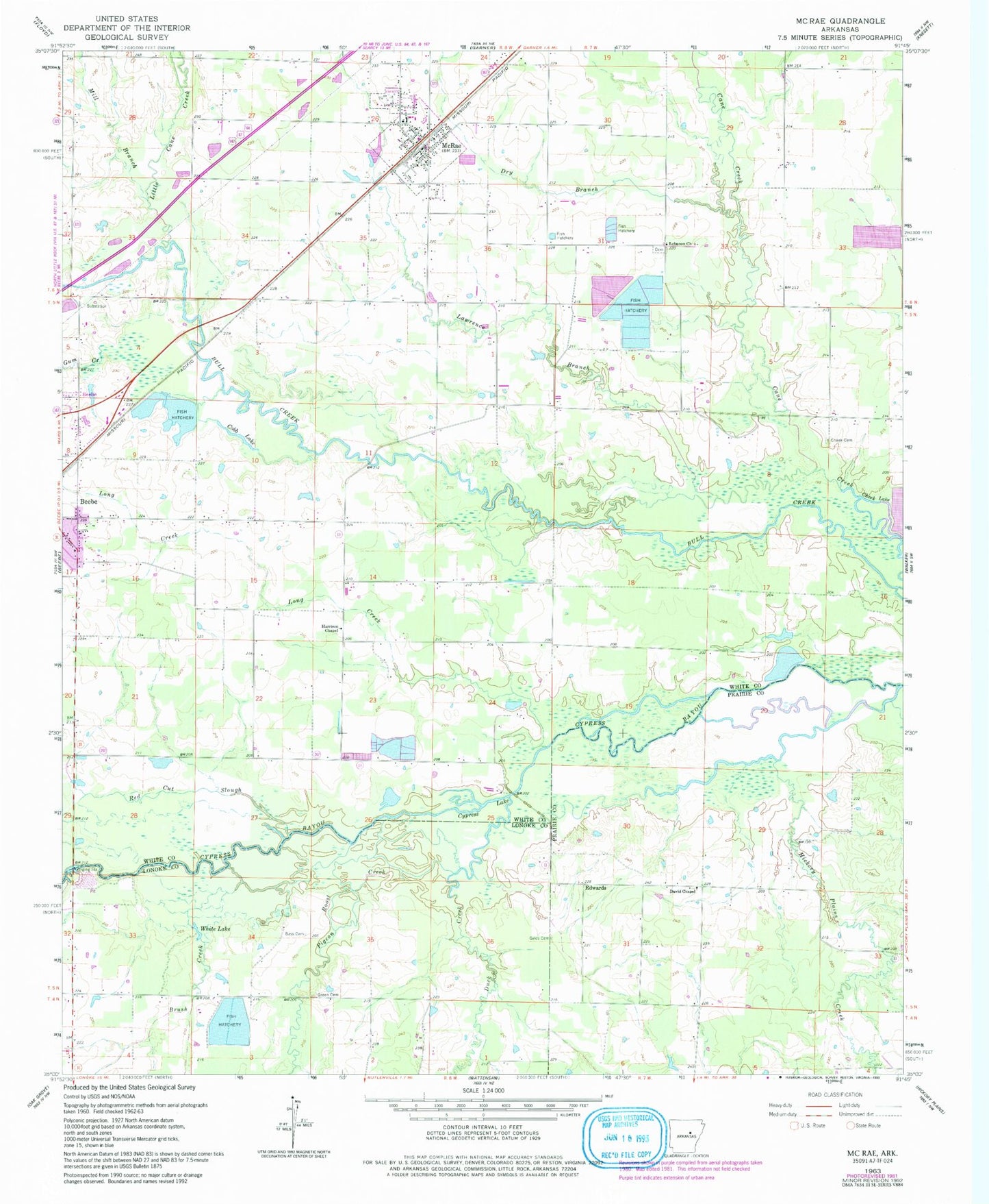
Historical USGS topographic quad map of McRae in the state of Arkansas. Map scale may vary for some years, but is generally around 1:24,000. Print size is approximately 24" x 27"
This quadrangle is in the following counties: Lonoke, Prairie, White.
The map contains contour lines, roads, rivers, towns, and lakes. Printed on high-quality waterproof paper with UV fade-resistant inks, and shipped rolled.
Contains the following named places: Bass Cemetery, Bland School, Brush Creek, Bryles Cemetery, Cheek Cemetery, City of McRae, Cobb Lake, Cypress Lake, David Chapel, Dry Branch, Duck Creek, Edwards, Green Cemetery, Guess Branch, Gum Creek, Harrison Chapel, Hickory Plains Creek, Kinley Lake, Kinley Lake Dam, Lawrence Branch, Lebanon Church, Little Cane Creek, Long Creek, McRae, McRae Elementary School, McRae Fire Department Station 2, Mcrae High School, McRae High School, McRae Police Department, McRae Post Office, McRae Volunteer Fire Department, Mill Branch, Pigeon Roost Creek, Red Cut Slough, Township of Garner, Township of McRae, White Lake, ZIP Code: 72176