MyTopo
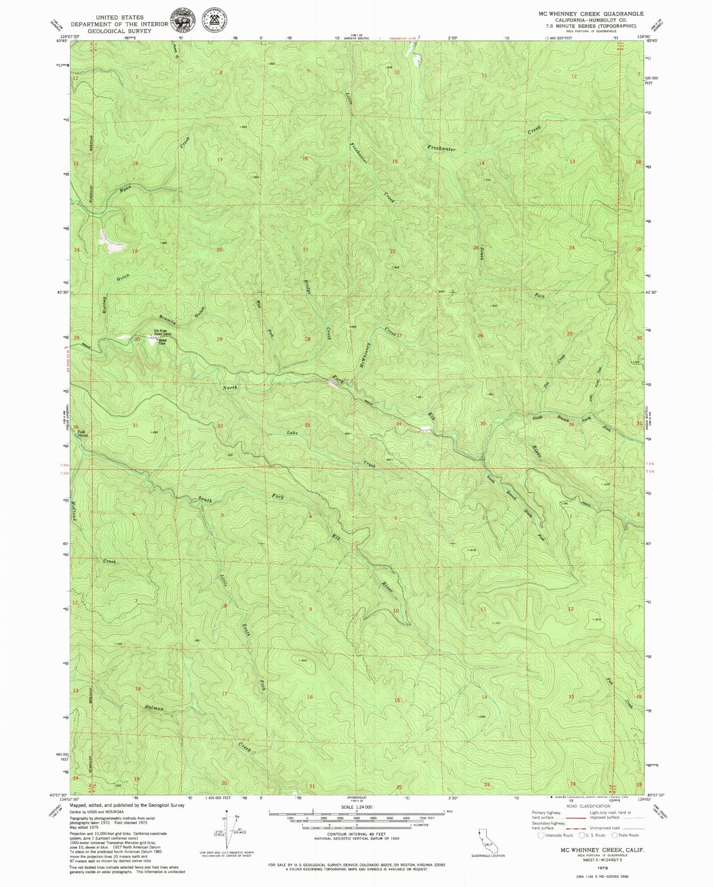
Classic USGS McWhinney Creek California 7.5'x7.5' Topo Map
Couldn't load pickup availability
Historical USGS topographic quad map of McWhinney Creek in the state of California. Map scale may vary for some years, but is generally around 1:24,000. Print size is approximately 24" x 27"
This quadrangle is in the following counties: Humboldt.
The map contains contour lines, roads, rivers, towns, and lakes. Printed on high-quality waterproof paper with UV fade-resistant inks, and shipped rolled.
Contains the following named places: Bridge Creek, Browns Gulch, Doe Creek, Dunlap Gulch, Elk River Scout Camp, Eureka Division, Lake Creek, Little North Fork North Branch North Fork Elk River, Little South Fork Elk River, McCloud Creek, McWhinney Creek, North Branch North Fork Elk River, South Branch North Fork Elk River, South Fork Freshwater Creek, West Fork Bridge Creek, ZIP Code: 95503