MyTopo
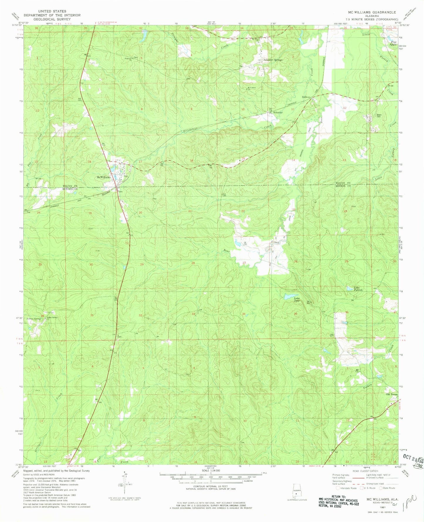
Classic USGS McWilliams Alabama 7.5'x7.5' Topo Map
Couldn't load pickup availability
Historical USGS topographic quad map of McWilliams in the state of Alabama. Map scale may vary for some years, but is generally around 1:24,000. Print size is approximately 24" x 27"
This quadrangle is in the following counties: Monroe, Wilcox.
The map contains contour lines, roads, rivers, towns, and lakes. Printed on high-quality waterproof paper with UV fade-resistant inks, and shipped rolled.
Contains the following named places: Antioch Church, Barles School, Beard Cemetery, Box Hill Church, Brantley Gin, Chapman Mill, Emmanuel Church, Grimes Cemetery, Grindstone Creek, Hopewell Church, Hughes, Indian Springs Baptist Church, Lake Jane, Lake Patrick, Mack Mcclurkin Dam, Mcclurkin Lake, Mcgowin Pond Dam, McWilliams, McWilliams Church, McWilliams Post Office, Mount Canaan Church, Mount Olive Church, Old Texas, Owens Mill, Pineview Cemetery, Pudding Swamp, Rutthven, Saint John Church, Schuster, ZIP Code: 36753


