MyTopo
Classic USGS Meacham Oregon 7.5'x7.5' Topo Map
Regular price
$16.95
Regular price
Sale price
$16.95
Unit price
per
Couldn't load pickup availability
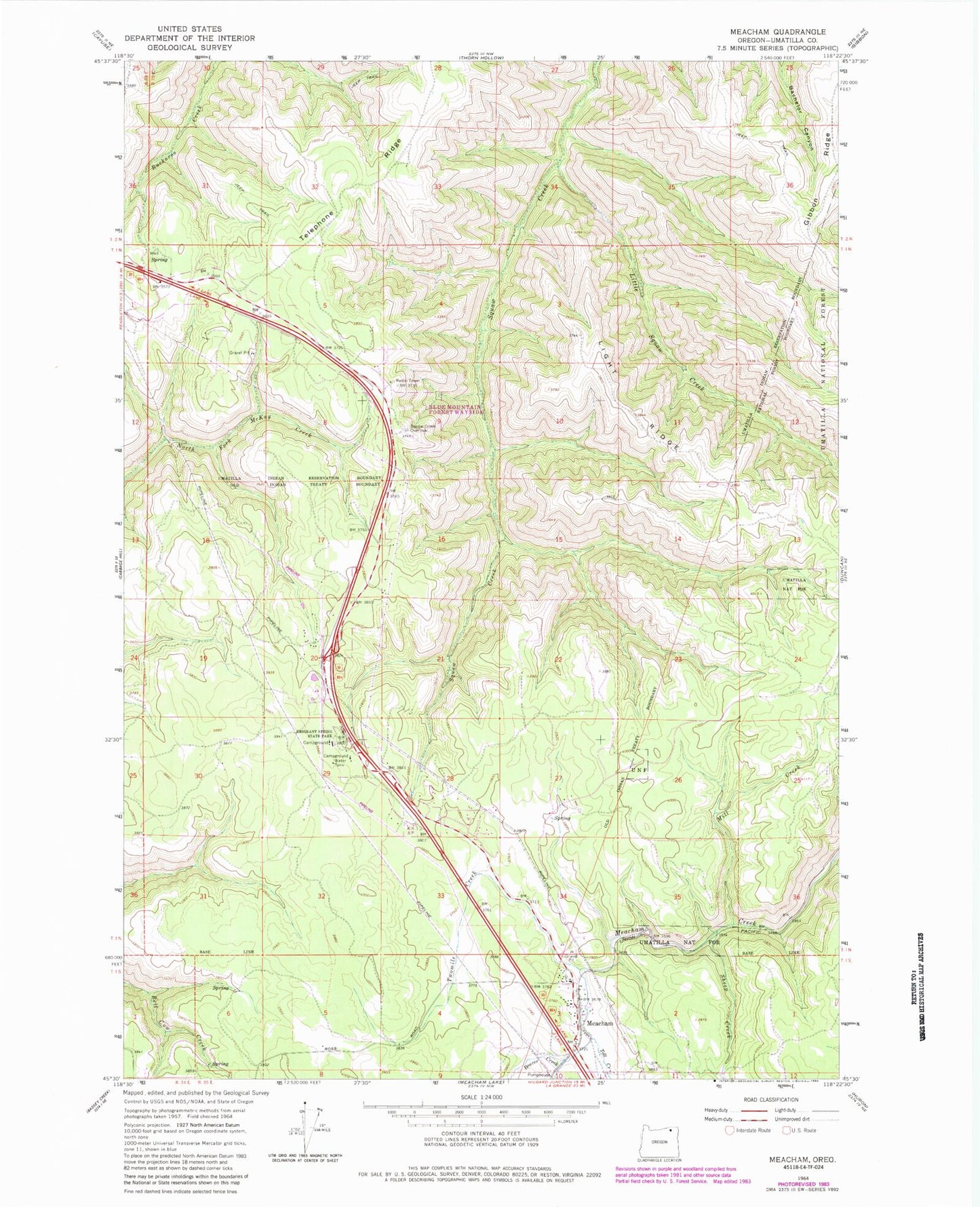
Historical USGS topographic quad map of Meacham in the state of Oregon. Map scale may vary for some years, but is generally around 1:24,000. Print size is approximately 24" x 27"
This quadrangle is in the following counties: Umatilla.
The map contains contour lines, roads, rivers, towns, and lakes. Printed on high-quality waterproof paper with UV fade-resistant inks, and shipped rolled.
Contains the following named places: Beaver Creek, Emigrant Springs State Heritage Area, Isquulktpe Creek Overlook, Light Ridge, Little Isquulktpe Creek, Meacham, Meacham Cemetery, Meacham Census Designated Place, Meacham Post Office, Mill Creek, Sheep Creek, Telephone Ridge, Tod Creek, Twomile Creek, ZIP Code: 97859