MyTopo
Classic USGS Meadow Brook Summit Oregon 7.5'x7.5' Topo Map
Regular price
$16.95
Regular price
Sale price
$16.95
Unit price
per
Couldn't load pickup availability
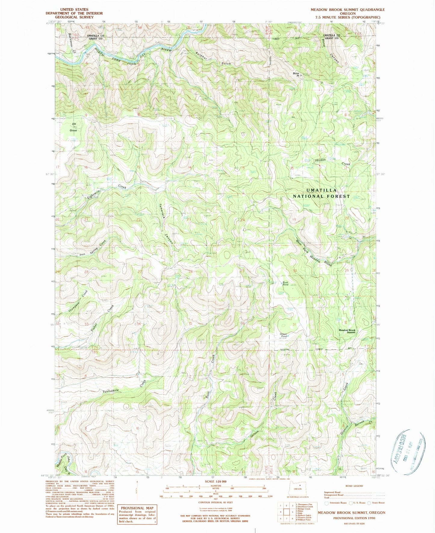
Historical USGS topographic quad map of Meadow Brook Summit in the state of Oregon. Map scale may vary for some years, but is generally around 1:24,000. Print size is approximately 24" x 27"
This quadrangle is in the following counties: Grant, Umatilla.
The map contains contour lines, roads, rivers, towns, and lakes. Printed on high-quality waterproof paper with UV fade-resistant inks, and shipped rolled.
Contains the following named places: Barnes Creek, Bone Point, Buckaroo Creek, Elk Grove, Gilson Creek, Gilson Pond, Litch Meadow, Meadow Brook Summit, Rush Pond, Saint Katherine Catholic Church, Shivers Rim, Sulphur Gulch, Tamarack Canyon, Walker