MyTopo
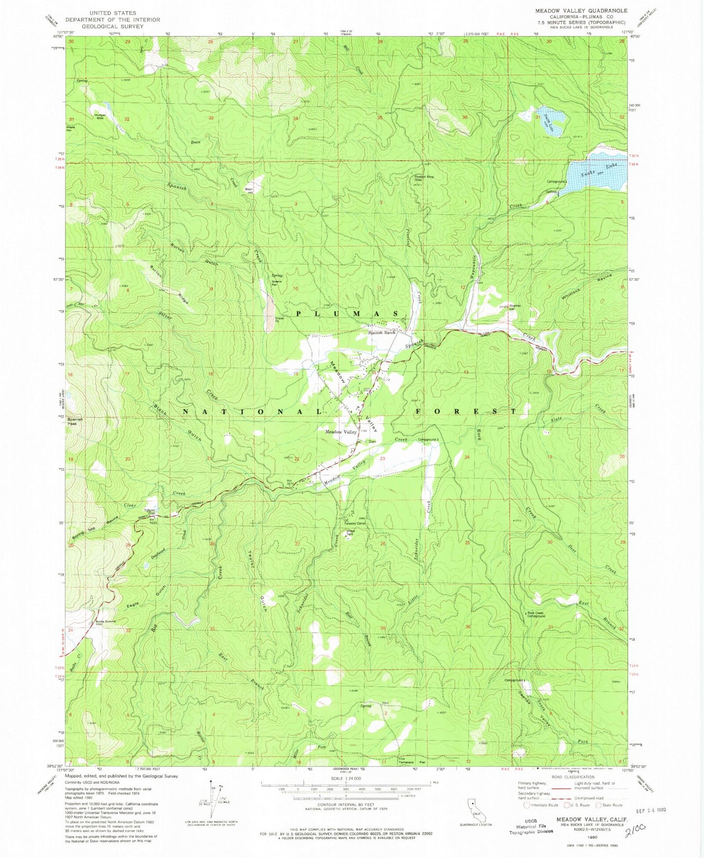
Classic USGS Meadow Valley California 7.5'x7.5' Topo Map
Couldn't load pickup availability
Historical USGS topographic quad map of Meadow Valley in the state of California. Typical map scale is 1:24,000, but may vary for certain years, if available. Print size: 24" x 27"
This quadrangle is in the following counties: Plumas.
The map contains contour lines, roads, rivers, towns, and lakes. Printed on high-quality waterproof paper with UV fade-resistant inks, and shipped rolled.
Contains the following named places: Bean Creek, Big Creek, Black Gulch, Boring Mill Ravine, Burton Gulch, Clear Creek, Deadwood Creek, Deanes Valley, Eagle Gulch, East Branch Big Creek, East Branch Rock Creek, East Branch Schneider Creek, Jacks Meadow Creek, Little Schneider Creek, Meadow Valley Creek, Pineleaf Creek, Pineleaf Mine, Rock Creek, Rock Creek, Slate Creek, Schneider Creek, Silver Creek, Smith Lake, Deer Creek, Snake Lake, Snake Lake Valley, South Fork Rock Creek, Taylor Gulch, University of California Forestry Camp, Wapaunsie Creek, Whitlock Ravine, Bucks Summit, Gopher Hill, Meadow Valley, Spanish Ranch, Smith Lake Dam, Bean Hill, Burton Ridge, Greens Flat, Meadow Valley, Mulligan Slide, Rock Creek Campground, Tamarack Flat, Meadow Valley School, Dean Valley Reservoir (historical), Edmanton (historical), Grub Flat, Silver Creek (historical), Meadow Valley Census Designated Place, Meadow Valley Fire Protection District, Meadow Valley Post Office, Meadow Valley Cemetery


