MyTopo
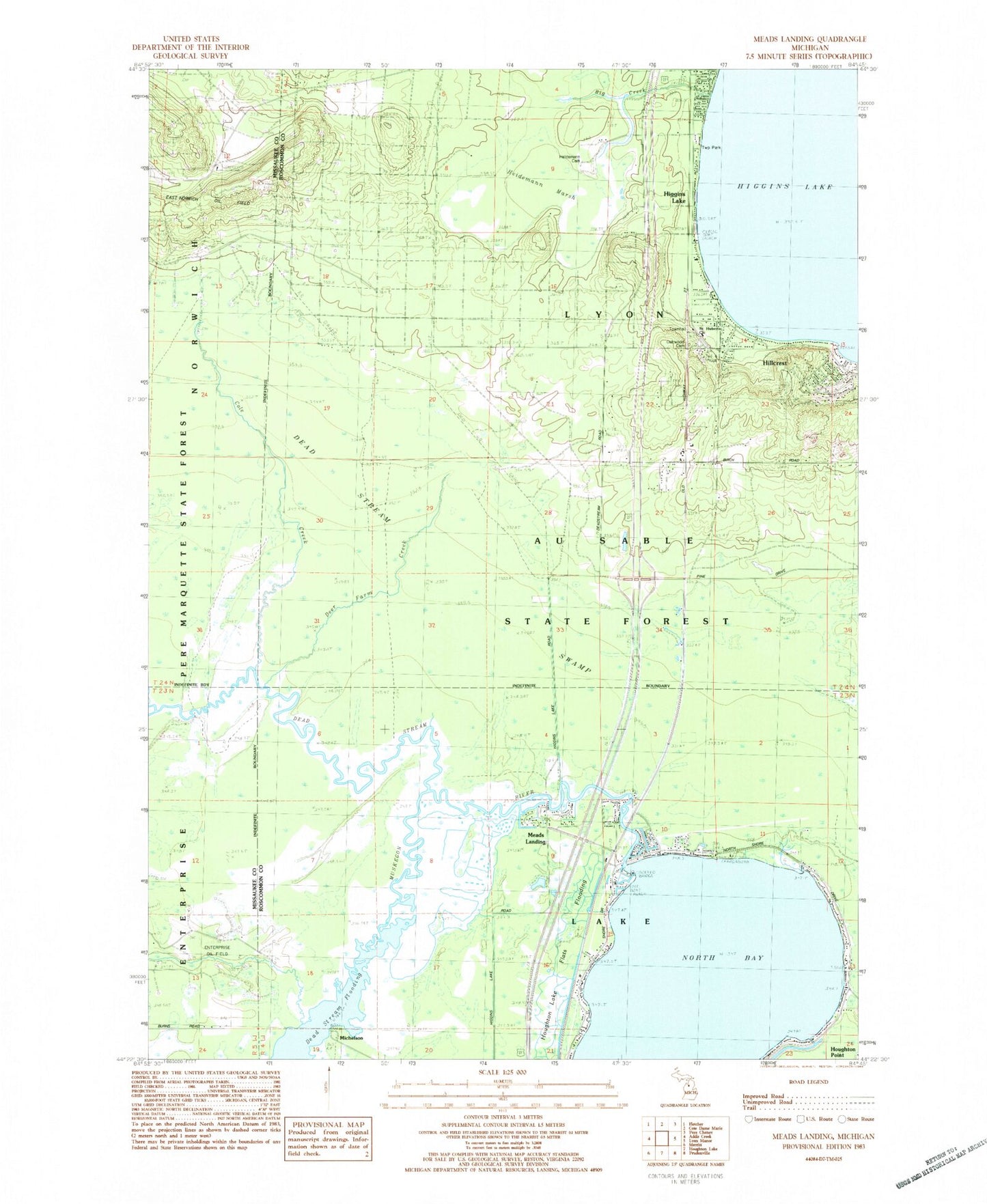
Classic USGS Meads Landing Michigan 7.5'x7.5' Topo Map
Couldn't load pickup availability
Historical USGS topographic quad map of Meads Landing in the state of Michigan. Typical map scale is 1:24,000, but may vary for certain years, if available. Print size: 24" x 27"
This quadrangle is in the following counties: Missaukee, Roscommon.
The map contains contour lines, roads, rivers, towns, and lakes. Printed on high-quality waterproof paper with UV fade-resistant inks, and shipped rolled.
Contains the following named places: Big Creek, Cole Creek, Dead Stream, Deer Farm Creek, Haymarsh Creek, Higgins Lake, Hillcrest, Houghton Lake State Game Farm, Meads Landing, North Bay Houghton Lake, Michelson, Township of Lake, Township of Lyon, Saint Huberts Church, Oakwood Cemetery, Lyon Township Park, Heidemann Marsh, Heidemann Cemetery, East Norwich Oil Field, Enterprise Township Hall, Houghton Lake State Forest Campground, Michelson Post Office (historical), McDonald Point, Higgins Lake Post Office, Higgins Lake Baptist Church, Higgins Lake Rest Area, Lake Township Fire Department, Lyon Township Fire Department / Emergency Medical Services


