MyTopo
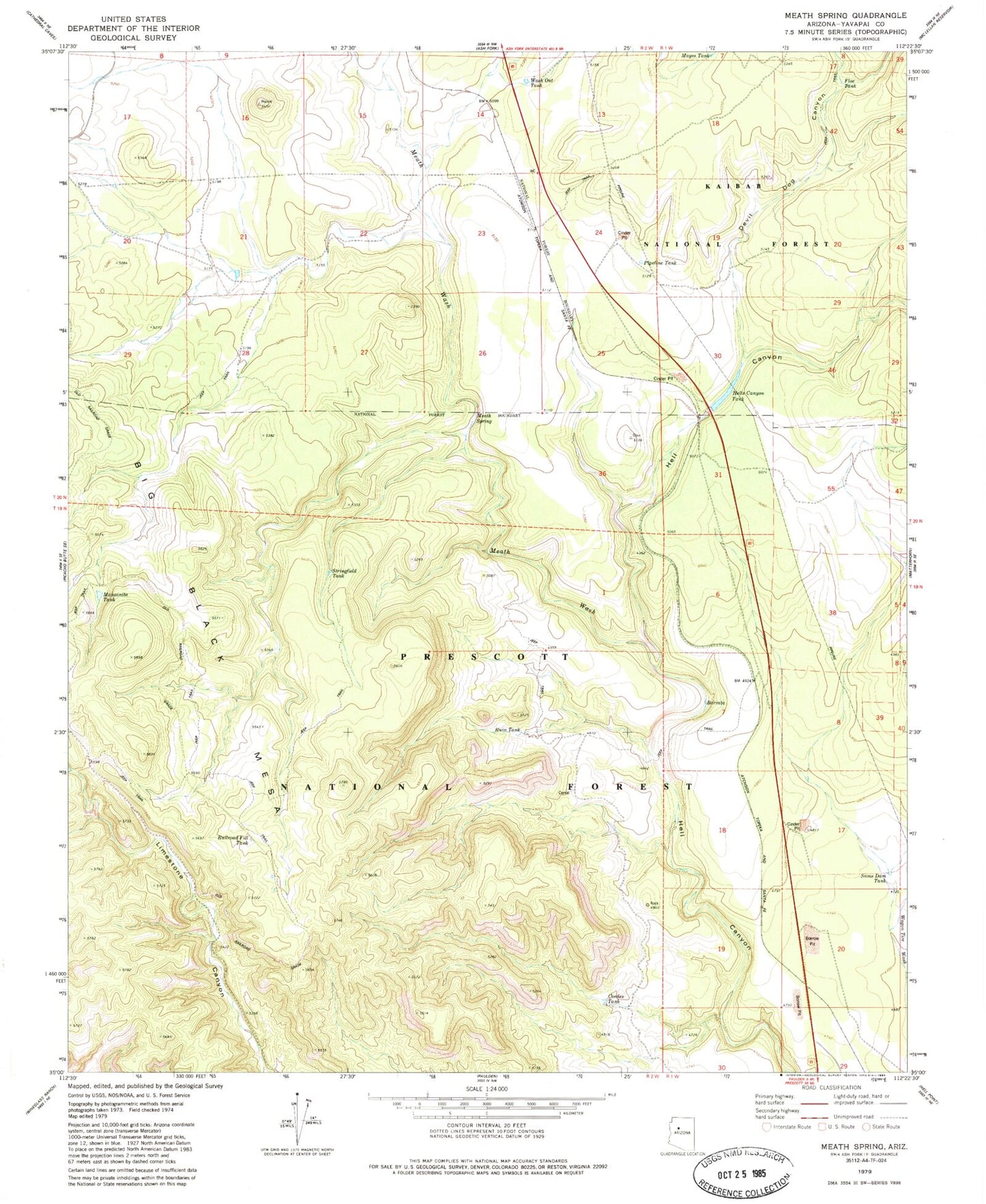
Classic USGS Meath Spring Arizona 7.5'x7.5' Topo Map
Couldn't load pickup availability
Historical USGS topographic quad map of Meath Spring in the state of Arizona. Map scale may vary for some years, but is generally around 1:24,000. Print size is approximately 24" x 27"
This quadrangle is in the following counties: Yavapai.
The map contains contour lines, roads, rivers, towns, and lakes. Printed on high-quality waterproof paper with UV fade-resistant inks, and shipped rolled.
Contains the following named places: AGF Trick Tank, Barrata, Bullock Tank, Cordes Tank, Devil Dog Canyon, Floe Tank, Hells Canyon Tank, Little Water Tank, Manzanita Tank, Mayes Tank, Meath, Meath Railroad Station, Meath Siding, Meath Spring, Meath Wash, Pipeline Tank, Prairie Siding, Railroad Fill Tank, Rok Siding, Ruin Tank, Sams Dam Tank, Stringfield Tank, Wash Out Tank, Wood Spur Siding