MyTopo
Classic USGS Mecca California 7.5'x7.5' Topo Map
Couldn't load pickup availability
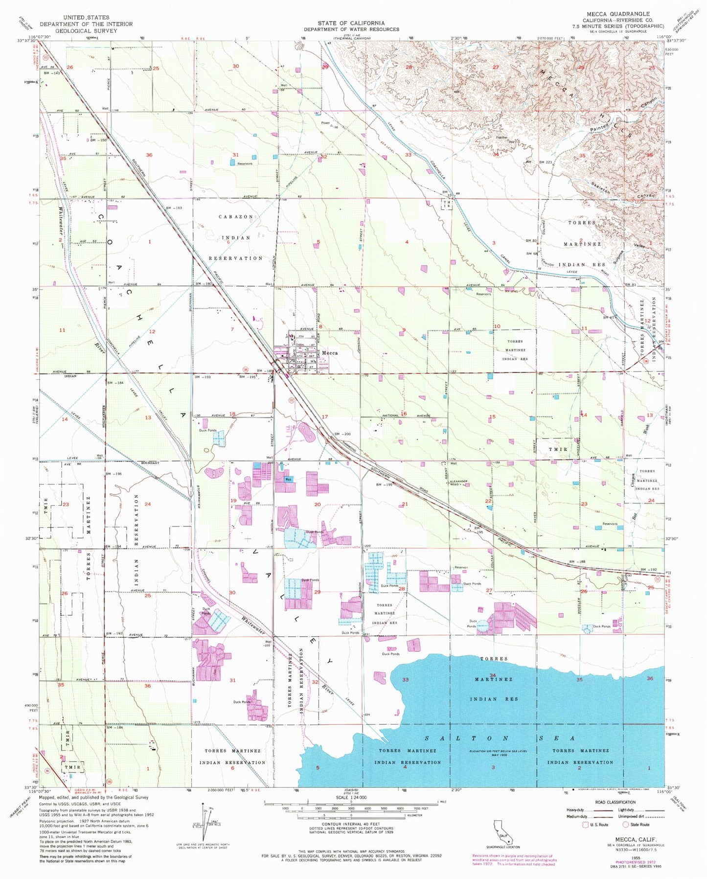
Historical USGS topographic quad map of Mecca in the state of California. Map scale may vary for some years, but is generally around 1:24,000. Print size is approximately 24" x 27"
This quadrangle is in the following counties: Riverside.
The map contains contour lines, roads, rivers, towns, and lakes. Printed on high-quality waterproof paper with UV fade-resistant inks, and shipped rolled.
Contains the following named places: Box Canyon Wash, Cabazon Reservation, Caleb, Coachella Valley Division, Mecca, Mecca Census Designated Place, Mecca Elementary School, Mecca Post Office, Mecca-North Shore Branch Riverside Public Library, Painted Canyon, Riverside County Fire Department Station 40 Mecca, Skeleton Canyon, Surprise Valley, Water Reclamation Plant Number 4, Whitewater Cove, Whitewater River