MyTopo
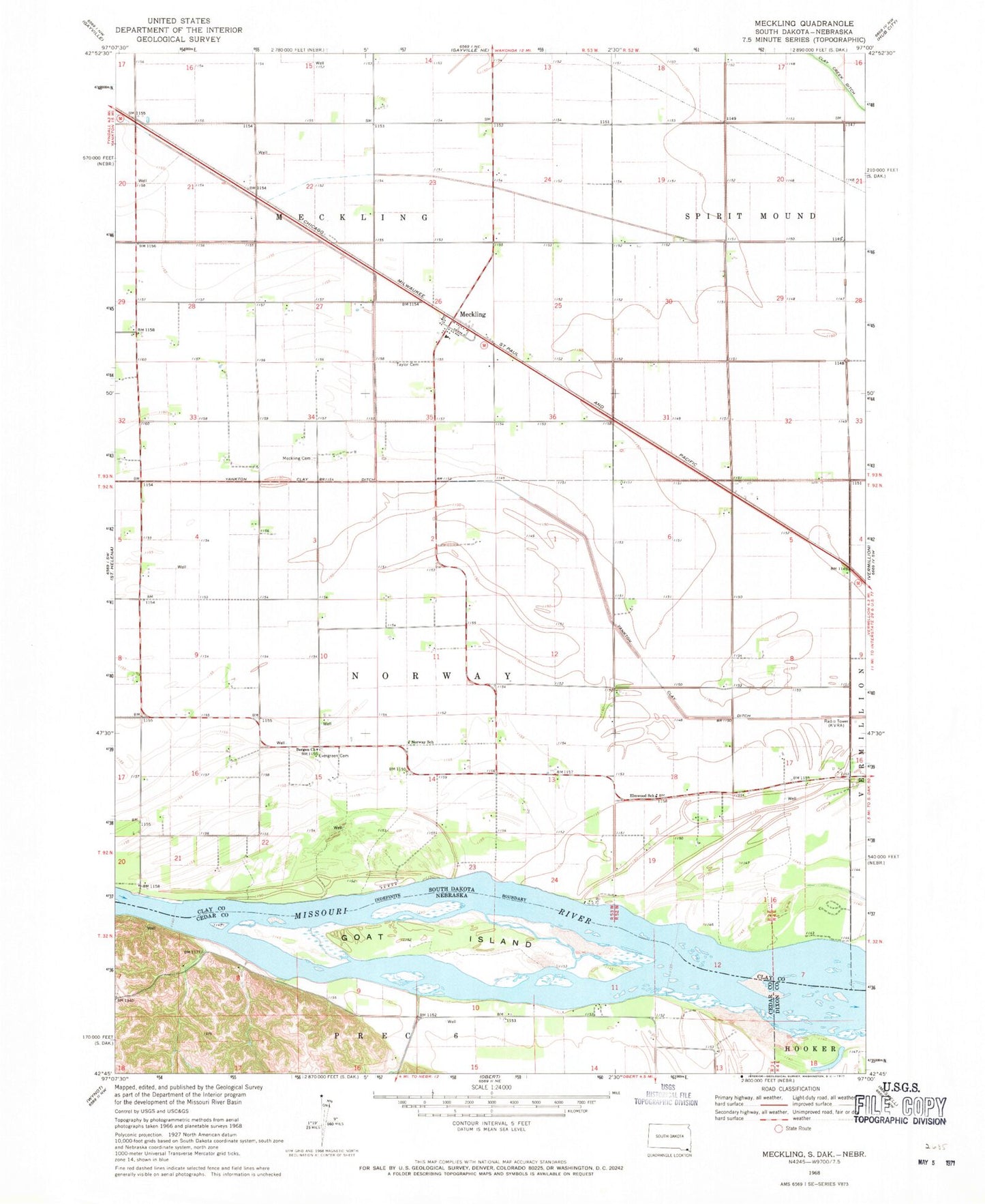
Classic USGS Meckling South Dakota 7.5'x7.5' Topo Map
Couldn't load pickup availability
Historical USGS topographic quad map of Meckling in the states of South Dakota, Nebraska. Map scale may vary for some years, but is generally around 1:24,000. Print size is approximately 24" x 27"
This quadrangle is in the following counties: Cedar, Clay, Dixon.
The map contains contour lines, roads, rivers, towns, and lakes. Printed on high-quality waterproof paper with UV fade-resistant inks, and shipped rolled.
Contains the following named places: Bergen Church, Elmwood School, Evergreen Cemetery, Goat Island, Harmony School, KVRA-AM (Vermillion), KVRF-FM (Vermillion), Meckling, Meckling Cemetery, Meckling Census Designated Place, Missouri National Recreation River, Norway School, Taylor Cemetery, Township of Meckling, Township of Norway, Wiseman State Wildlife Management Area, Yankton Clay Ditch