MyTopo
Classic USGS Meddybemps Lake West Maine 7.5'x7.5' Topo Map
Couldn't load pickup availability
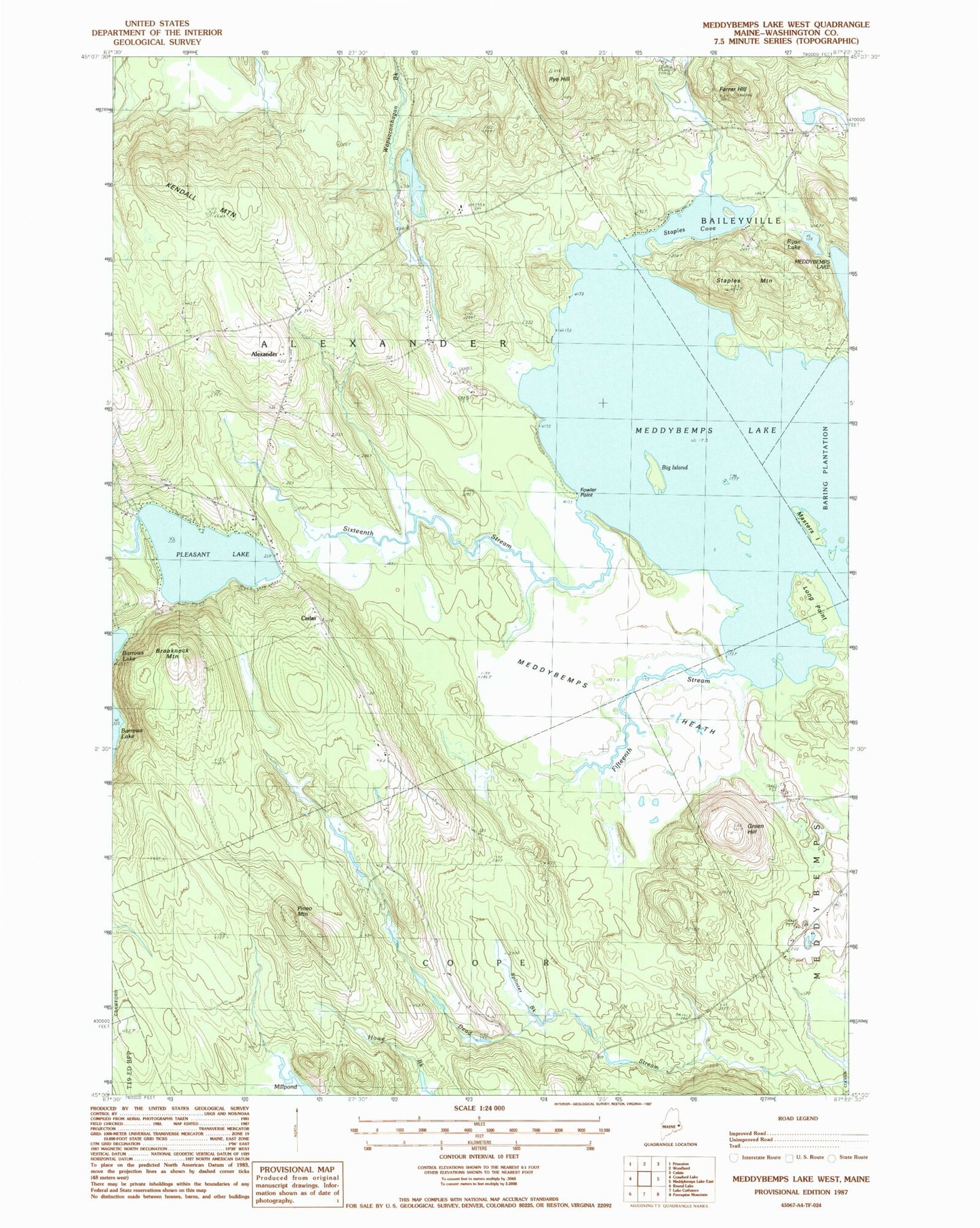
Historical USGS topographic quad map of Meddybemps Lake West in the state of Maine. Typical map scale is 1:24,000, but may vary for certain years, if available. Print size: 24" x 27"
This quadrangle is in the following counties: Washington.
The map contains contour lines, roads, rivers, towns, and lakes. Printed on high-quality waterproof paper with UV fade-resistant inks, and shipped rolled.
Contains the following named places: Alexander, Big Island, Breakneck Mountain, Cedar, Farrar Hill, Fifteenth Stream, Fowler Point, Green Hill, Grove, Kendall Mountain, Long Point, Masters Island, Meddybemps Heath, Meddybemps Lake, Millpond, North Union School, Pineo Mountain, Pleasant Lake, Ryan Lake, Ryan School, Rye Hill, Sixteenth Stream, Splinter Brook, Staples Cove, Staples Mountain, Sunset Camps, Town of Alexander, Pleasant Lake Dam, Sixteenth Stream, Pleasant Lake Campground, Alexander Volunteer Fire Department, Alexander Elementary School, Downeast Christian School