MyTopo
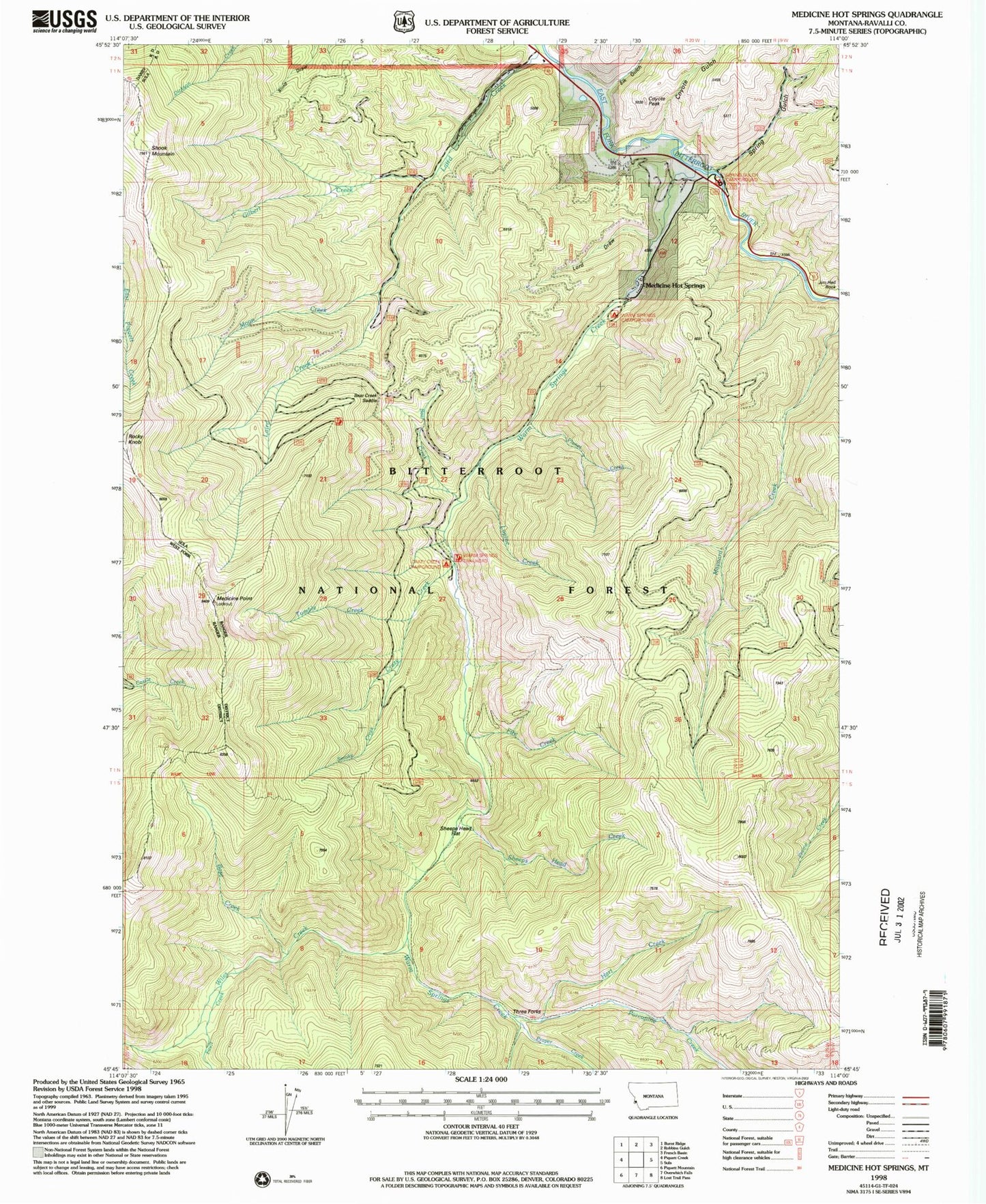
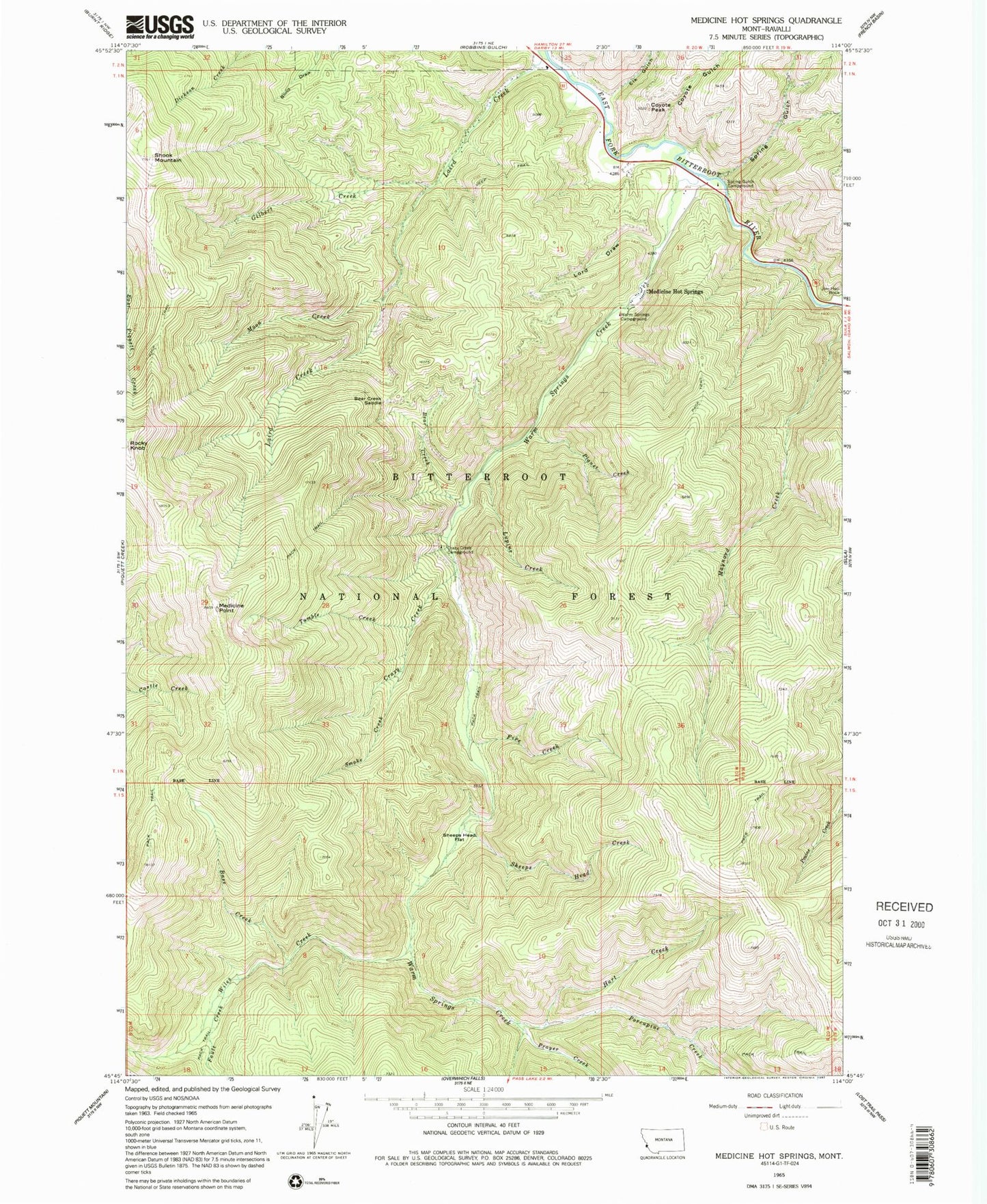
Classic USGS Medicine Hot Springs Montana 7.5'x7.5' Topo Map
Couldn't load pickup availability
Historical USGS topographic quad map of Medicine Hot Springs in the state of Montana. Typical map scale is 1:24,000, but may vary for certain years, if available. Print size: 24" x 27"
This quadrangle is in the following counties: Ravalli.
The map contains contour lines, roads, rivers, towns, and lakes. Printed on high-quality waterproof paper with UV fade-resistant inks, and shipped rolled.
Contains the following named places: Base Creek, Bear Creek, Bear Creek Saddle, Coyote Gulch, Coyote Peak, Crazy Creek, Crazy Creek Campground, Elk Gulch, Fault Creek, Fire Creek, Gilbert Creek, Hart Creek, Jim Hell Rock, Lord Draw, Lupine Creek, Medicine Hot Springs, Medicine Point, Moon Creek, Planet Creek, Porcupine Creek, Prayer Creek, Sheeps Head Creek, Sheeps Head Flat, Shook Mountain, Smoke Creek, Spring Gulch, Spring Gulch Campground, Tumble Creek, Warm Springs Campground, Warm Springs Creek, Wiles Creek, Three Forks, Warm Springs Trailhead, 01N20W12CCCD01 Well, 01N20W12CCDB01 Well, 01N20W12CCD_01 Spring, 01N20W12ABAB01 Well, Moosehead Campground, Sula Division


