MyTopo
Classic USGS Medicine Rocks State Park Montana 7.5'x7.5' Topo Map
Couldn't load pickup availability
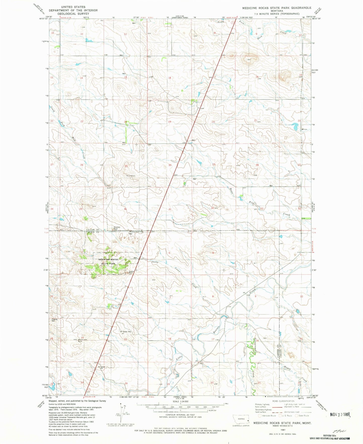
Historical USGS topographic quad map of Medicine Rocks State Park in the state of Montana. Map scale may vary for some years, but is generally around 1:24,000. Print size is approximately 24" x 27"
This quadrangle is in the following counties: Carter, Fallon.
The map contains contour lines, roads, rivers, towns, and lakes. Printed on high-quality waterproof paper with UV fade-resistant inks, and shipped rolled.
Contains the following named places: 03N58E05AAA_01 Well, 03N58E12BDCB01 Well, 03N59E20BCCB01 Well, 04N58E08BACD01 Well, 04N58E10DDAC01 Well, 04N58E30ADD_01 Well, 04N59E10DBBB01 Well, Alcatraz Rock, Castle Rock, Greasewood Creek, Hagen Creek, Medicine Rocks, Medicine Rocks Campground, Medicine Rocks Church, Medicine Rocks State Park, Red Root Post Office, Roosevelt Rock, Sheep Camp Creek, Sikorski Ranch Airport, Sikorsky and Sons Dam, Stone Lady Rock, Terrell Creek