MyTopo
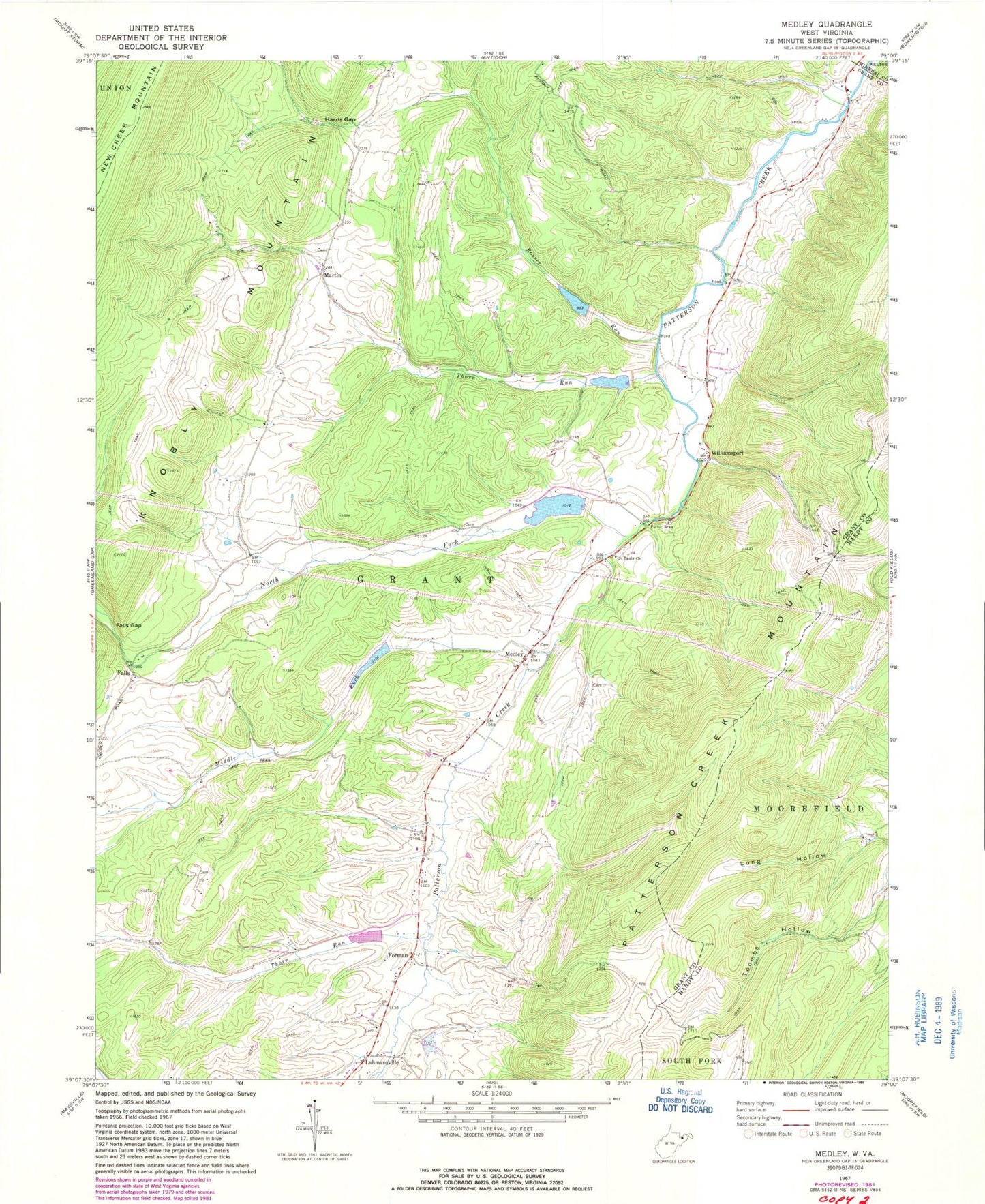
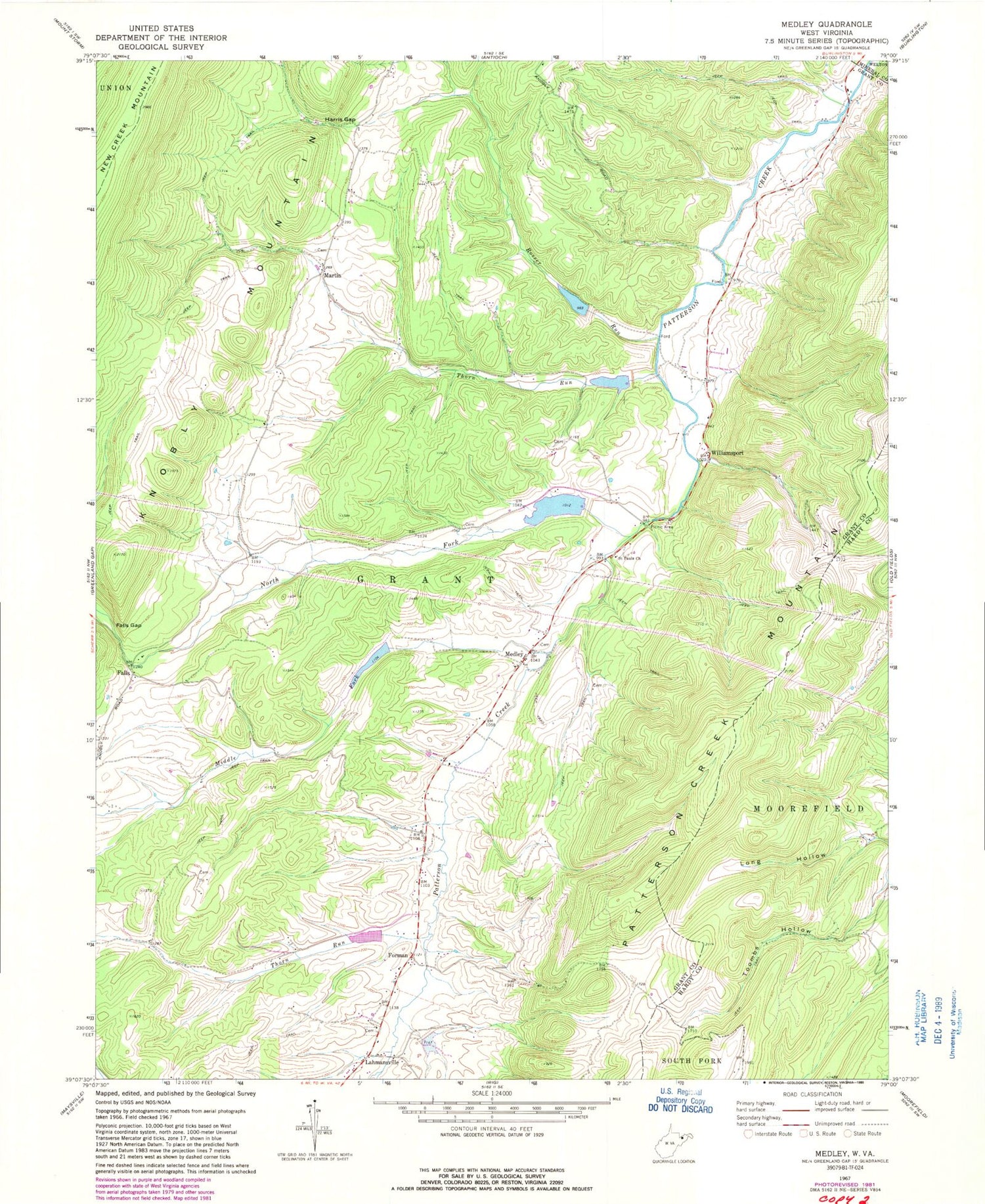
Classic USGS Medley West Virginia 7.5'x7.5' Topo Map
Couldn't load pickup availability
Historical USGS topographic quad map of Medley in the states of West Virginia, Virginia. Typical map scale is 1:24,000, but may vary for certain years, if available. Print size: 24" x 27"
This quadrangle is in the following counties: Grant, Hardy, Mineral.
The map contains contour lines, roads, rivers, towns, and lakes. Printed on high-quality waterproof paper with UV fade-resistant inks, and shipped rolled.
Contains the following named places: Falls Gap, Harris Gap, Long Hollow, Medley, Middle Fork Patterson Creek, North Fork Patterson Creek, Rosser Run, Saint Pauls Church, Thorn Run, Thorn Run, Falls, Forman, Martin, Williamsport, Lahmansville, Powders School (historical), Baker School (historical), Falls School (historical), Poplar School (historical), Thorn Run School (historical), Patterson Creek Structure Two Dam, Patterson Creek Structure Three Dam, Patterson Creek Structure Four Dam, Patterson Creek Structure 12 Dam, Patterson Creek Structure 13 Dam, Patterson Creek Structure 41 Dam, Patterson Creek Structure 49 Dam, Wolf Den Spring, Waterfall Spring, Lahmansville Post Office, Medley Post Office, The Ridge Brethren Church, Grant District, Heaven's Landing Airstrip, Mount Jackson Volunteer Rescue Squad Company Number 21


