MyTopo
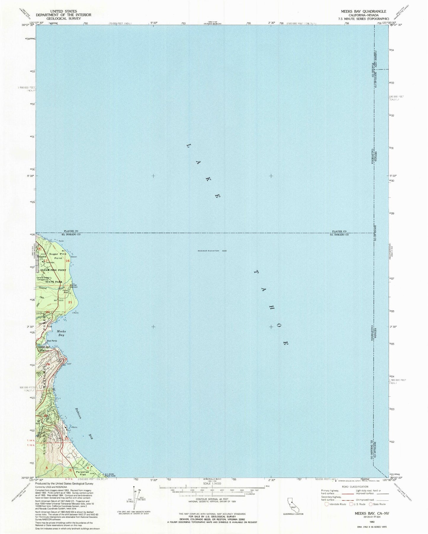
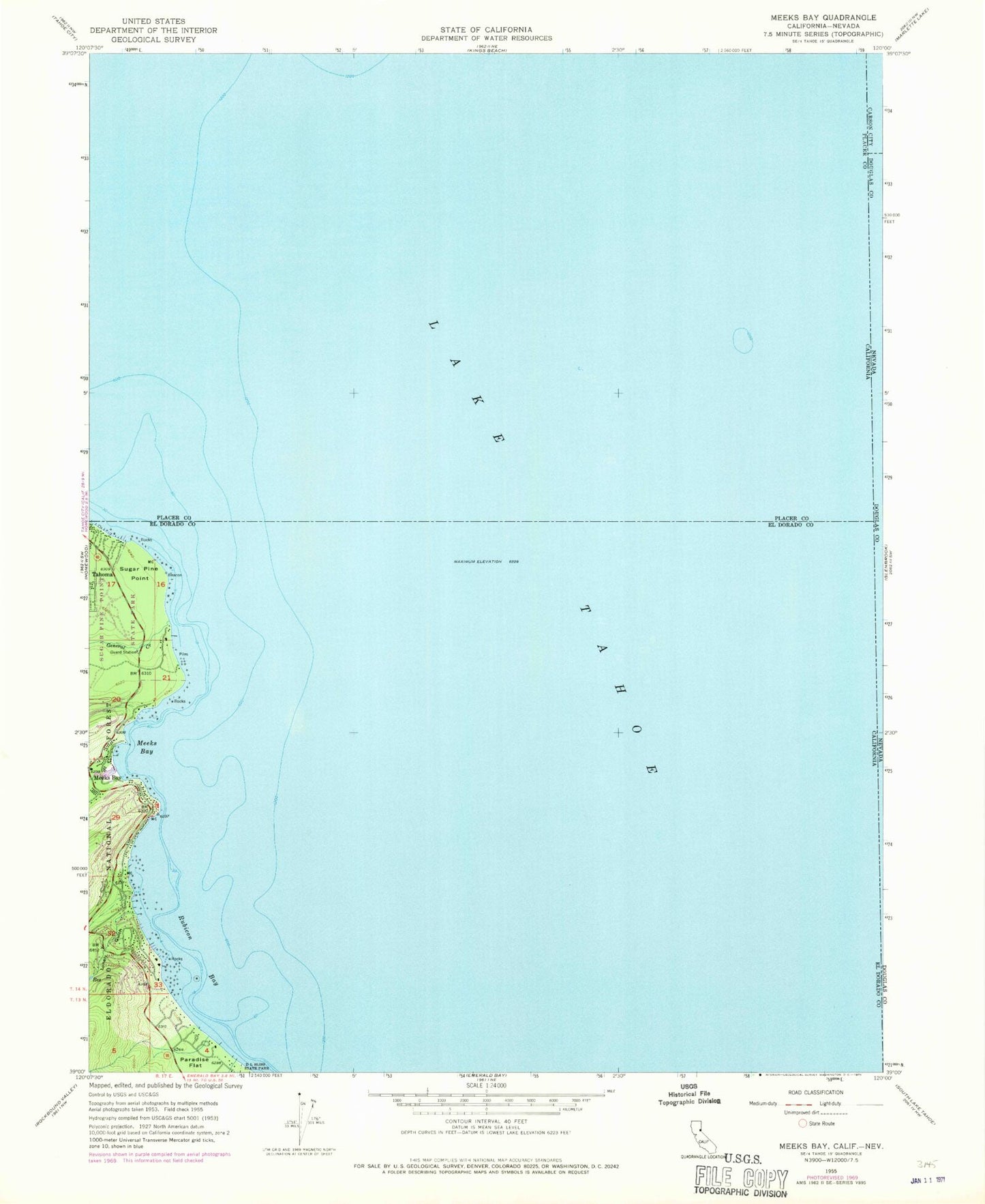
Classic USGS Meeks Bay California 7.5'x7.5' Topo Map
Couldn't load pickup availability
Historical USGS topographic quad map of Meeks Bay in the state of California. Typical map scale is 1:24,000, but may vary for certain years, if available. Print size: 24" x 27"
This quadrangle is in the following counties: Carson City (city), Douglas, El Dorado, Placer.
The map contains contour lines, roads, rivers, towns, and lakes. Printed on high-quality waterproof paper with UV fade-resistant inks, and shipped rolled.
Contains the following named places: General Creek, Meeks Bay, Meeks Creek, Rubicon Bay, Rubicon Creek, Lonely Gulch, Paradise Flat, Sugar Pine Point, Ed Z'berg Sugar Pine Point State Park, Meeks Bay Campground, Lake Tahoe, Meeks Bay, General Creek Recreation Site, General Creek Station, Frosts (historical), Childrens House, Edward F Dolder Nature Trail, Edwin L. Z'Berg Natural Preserve, Ehrman Mansion, General Creek Campground, General Creek Ranger Station, General Phipps Cabin, Glenridge Park, Ice House, Lester Beach, North Boat House, Rod Beaudry Trail, Rubicon Properties, South Boat House, Sugar Pine Point Lighthouse, Meeks Bay Post Office (historical), Meeks Bay Fire Protection District Station 61


