MyTopo
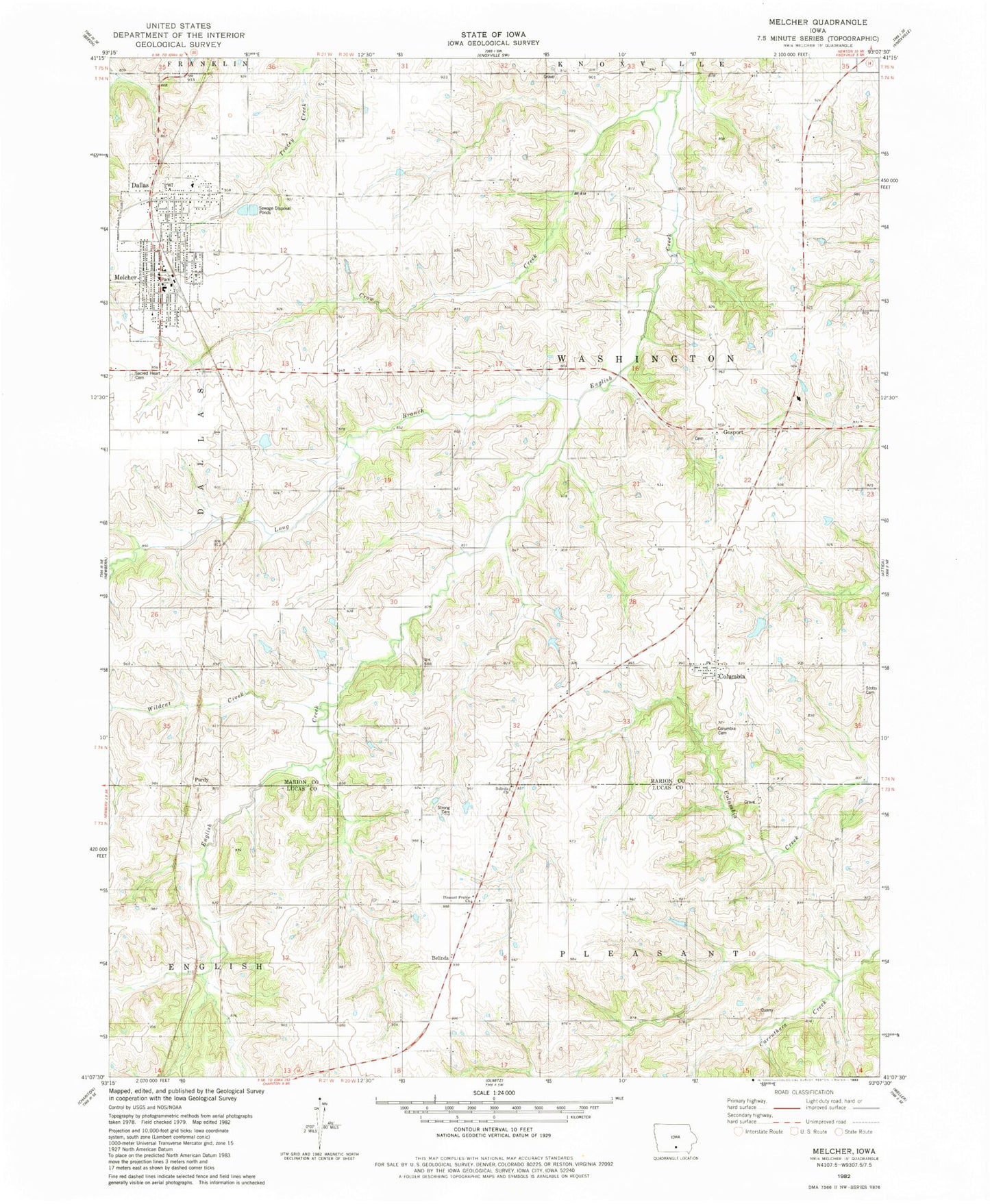
Classic USGS Melcher-Dallas Iowa 7.5'x7.5' Topo Map
Couldn't load pickup availability
Historical USGS topographic quad map of Melcher-Dallas in the state of Iowa. Map scale may vary for some years, but is generally around 1:24,000. Print size is approximately 24" x 27"
This quadrangle is in the following counties: Lucas, Marion.
The map contains contour lines, roads, rivers, towns, and lakes. Printed on high-quality waterproof paper with UV fade-resistant inks, and shipped rolled.
Contains the following named places: 1865 Memorial for "40 Boys" Historical Marker, 50057, 50062, 50163, Belinda, Belinda Church, Belinda Post Office, Belinda Toy and Antique Museum, Brush College School, City of Melcher-Dallas, Clear Cemetery, Cloud, Cloud Post Office, Columbia, Columbia Cemetery, Columbia Fire Department, Columbia Methodist Church, Columbia Post Office, Crow Creek, Dallas Christian Church, Dallas Post Office, E J McKeever Medical Center, Freedom School, Gosport, Gosport Cemetery, Gosport Post Office, Liberty School, Long Branch, Marion County Chiropractic Center, Melcher, Melcher - Dallas Junior High School, Melcher Dallas Elementary School, Melcher Dallas Fire and Rescue, Melcher Dallas Junior / Senior High School, Melcher Post Office, Melcher-Dallas, Melcher-Dallas City Hall, Melcher-Dallas Coal Mining and Heritage Museum, Melcher-Dallas Museum of Military History, Melcher-Dallas Public Library, New Albany School, New Hope United Methodist Church, Pleasant Hill School, Pleasant Prairie Church, Pleasant Prairie School, Purdy, Purdy Post Office, Sacred Heart Cemetery, Sacred Heart Church, Saint John Lutheran Church, Star, Stotts Cemetery, Strong Cemetery, Township of Washington, Union School, Washington School, Wildcat Creek


