MyTopo
Classic USGS Melena New Mexico 7.5'x7.5' Topo Map
Regular price
$16.95
Regular price
Sale price
$16.95
Unit price
per
Couldn't load pickup availability
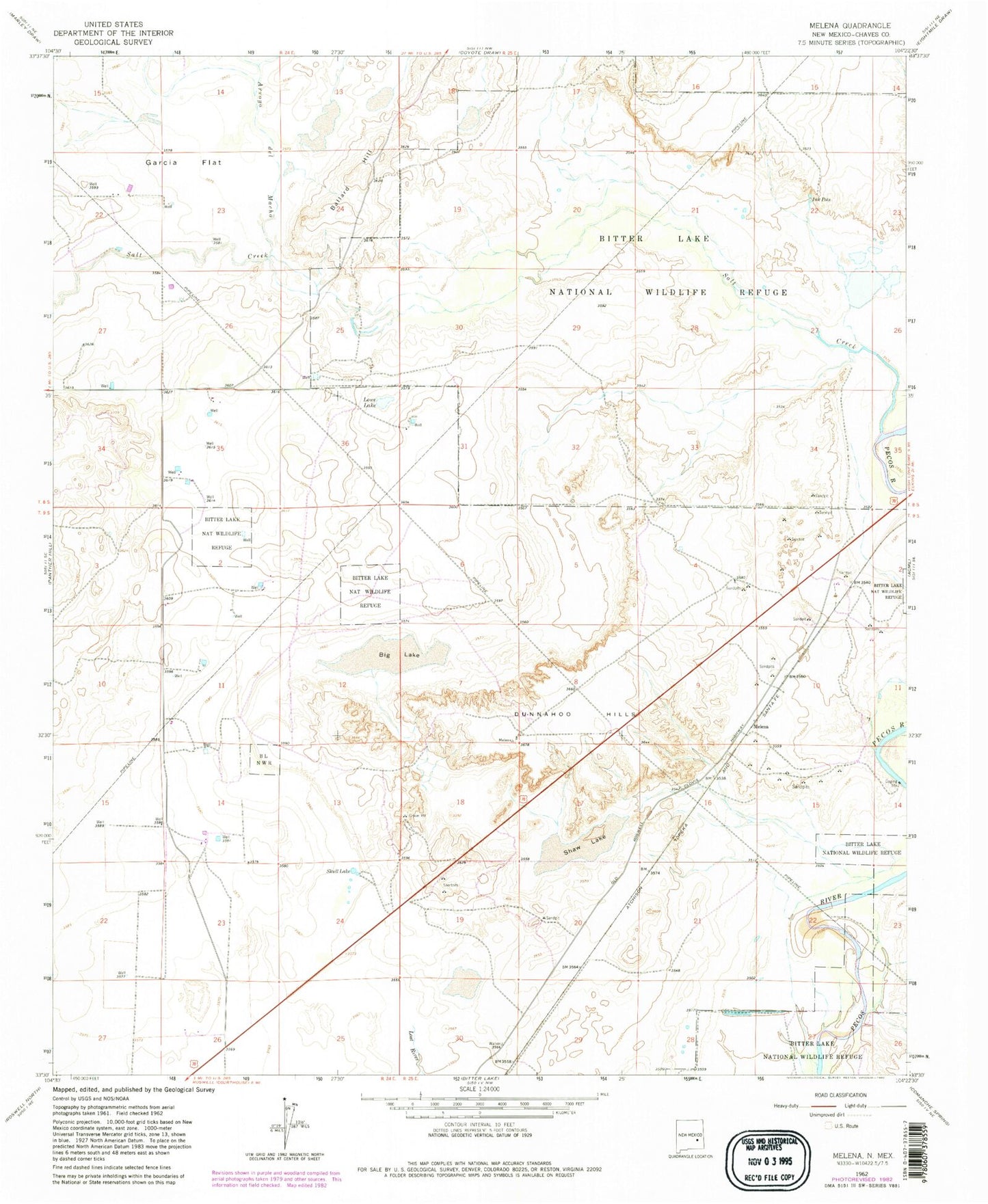
Historical USGS topographic quad map of Melena in the state of New Mexico. Map scale may vary for some years, but is generally around 1:24,000. Print size is approximately 24" x 27"
This quadrangle is in the following counties: Chaves.
The map contains contour lines, roads, rivers, towns, and lakes. Printed on high-quality waterproof paper with UV fade-resistant inks, and shipped rolled.
Contains the following named places: Arroyo del Macho, Ballard Hill, Beavers Pit, Big Lake, Bitter Lake National Wildlife Refuge, Dunnahoo Hills, Garcia Flat, Ink Pots, Lowe Lake, Melena, Opal Garren Claims, Salt Creek, Salt Creek Wilderness, Shaw Lake, Skull Lake