MyTopo
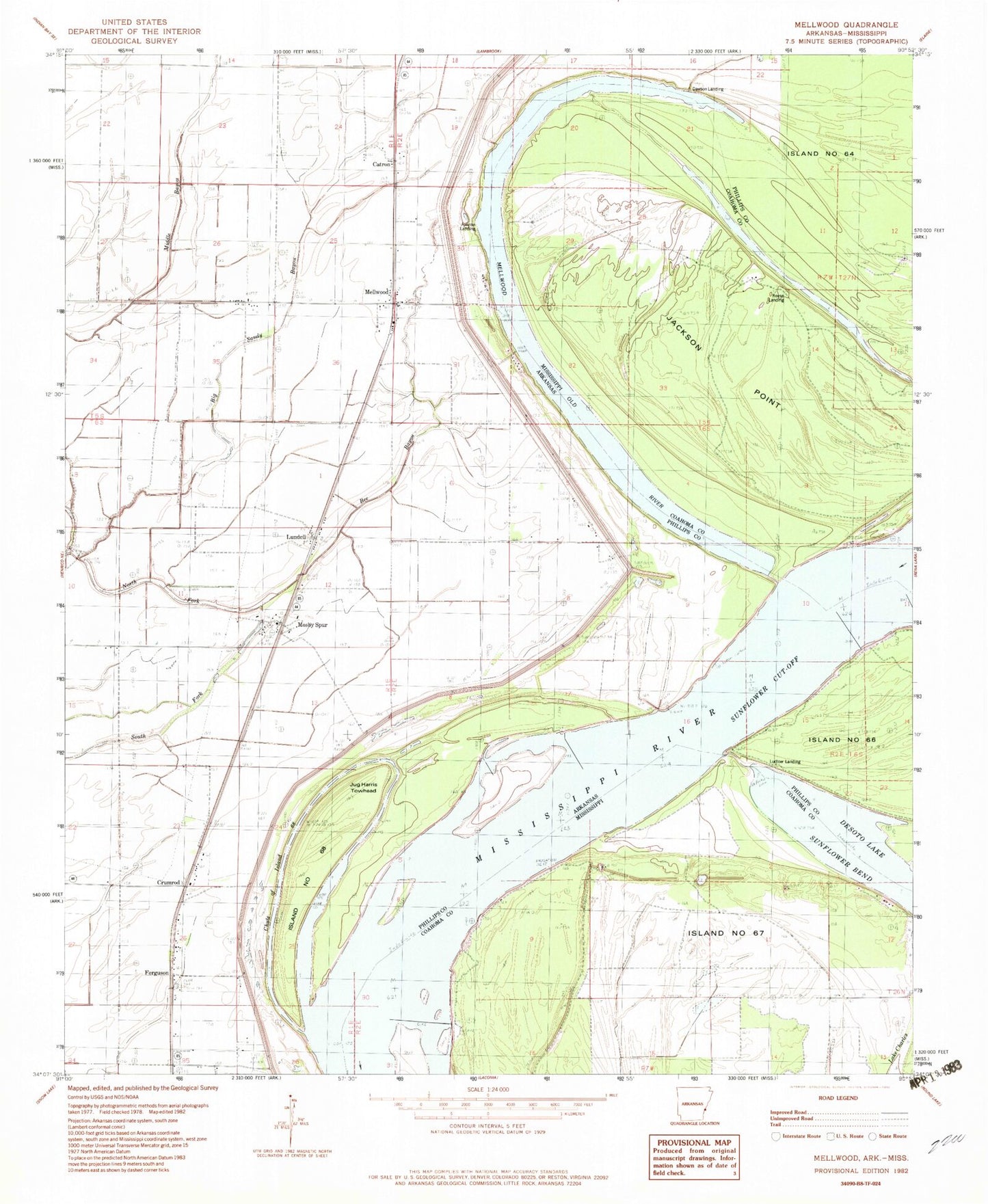
Classic USGS Mellwood Arkansas 7.5'x7.5' Topo Map
Couldn't load pickup availability
Historical USGS topographic quad map of Mellwood in the states of Arkansas, Mississippi. Map scale may vary for some years, but is generally around 1:24,000. Print size is approximately 24" x 27"
This quadrangle is in the following counties: Coahoma, Phillips.
The map contains contour lines, roads, rivers, towns, and lakes. Printed on high-quality waterproof paper with UV fade-resistant inks, and shipped rolled.
Contains the following named places: Avenue Landing, Avenue Revetment, Bee Bayou, Below Ludlow Dikes, Big Sandy Bayou, Brown Chapel, Catron, Chute of Island 68, Crumrod, Crumrod Post Office, Dawson Landing, Ferguson, Ferguson Landing, Griffin Ag Airport, Island Number 68, Island Number Sixtyfive, Island Number Sixtyseven, Island Sixtyseven Revetment, Jackson Point, Jug Harris Towhead, Lodlow Revetment, Ludlow Landing, Ludlow Revetment, Lundell, Mellwood, Mellwood Census Designated Place, Mellwood Post Office, Mellwood School, Mosby Spur, Mosby Spur School, New Hope, Offutt Landing, Precious Chapel, Reese Landing, South Phillips County Volunteer Fire Department Station 2, South Phillips County Volunteer Fire Station 1, Sunflower Cut-Off, Swan Lake, Township of Mooney, True Light Church, Zion Traveler Cemetery, Zion Traveler Church, ZIP Code: 72367


