MyTopo
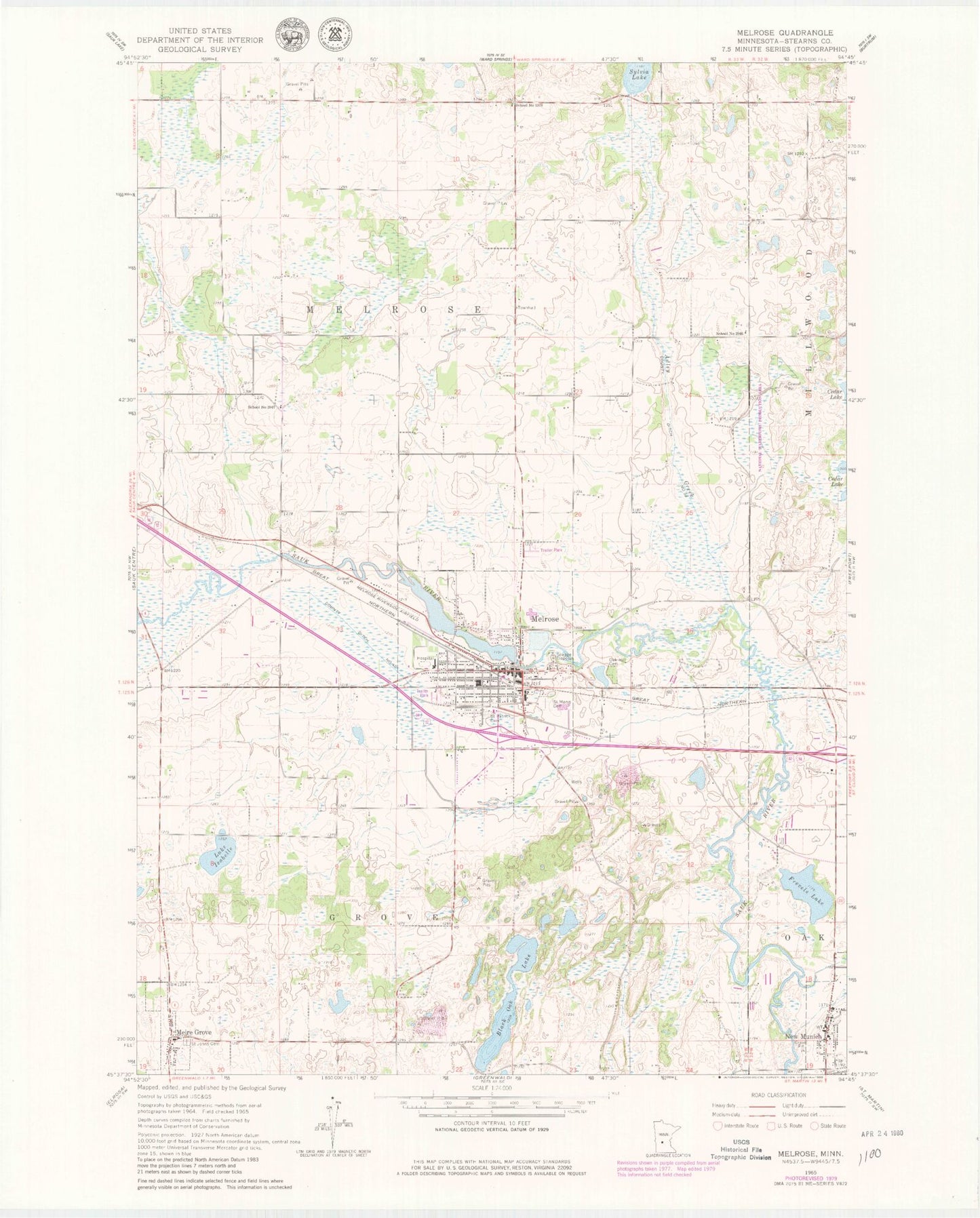
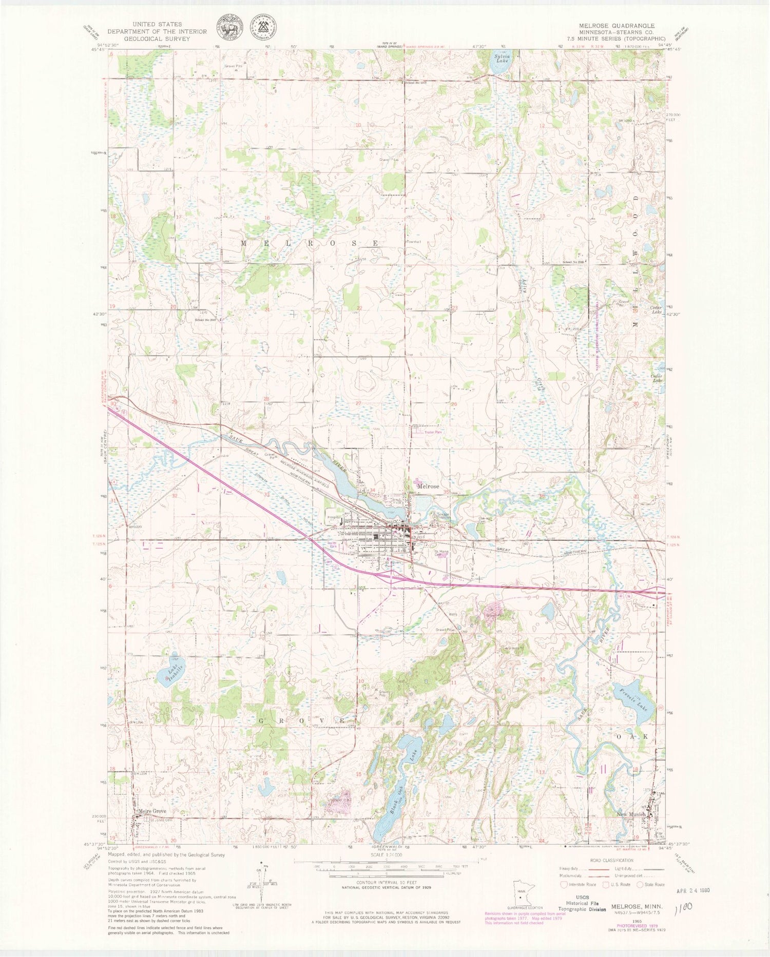
Classic USGS Melrose Minnesota 7.5'x7.5' Topo Map
Couldn't load pickup availability
Historical USGS topographic quad map of Melrose in the state of Minnesota. Map scale may vary for some years, but is generally around 1:24,000. Print size is approximately 24" x 27"
This quadrangle is in the following counties: Stearns.
The map contains contour lines, roads, rivers, towns, and lakes. Printed on high-quality waterproof paper with UV fade-resistant inks, and shipped rolled.
Contains the following named places: Adley Creek, Black Oak Lake, Centracare Clinic at Melrose, City of Meire Grove, City of Melrose, City of New Munich, County Ditch Number Fortytwo, County Ditch Number Thirtythree, Frevels Lake, Great River Regional Library, Immaculate Conception Church, Lake Isabelle, Meadowlark Country Club, Meire Grove, Meire Grove City Hall, Meiregrove Post Office, Melrose, Melrose Area Hospital, Melrose Area Museum, Melrose Area Public Schools, Melrose Fire Department, Melrose Lake, Melrose Mobile Home Park, Melrose Police Department, Melrose Post Office, Melrose Riverside Airfield, New Munich, New Munich City Hall, New Munich Fire Department, New Munich Post Office, Oak Hill Cemetery, Pine Villa Nursing Home, Rose Terrace Mobile Home Park, Saint Johns Cemetery, Saint John's Church, Saint John's School, Saint Marys Cemetery, Saint Mary's Church, Saint Mary's School, Saint Michael's Church, Saint Patrick Cemetery, Saint Paul's Lutheran Church, Sauk River Dam, School Number 1978, School Number 2046, School Number 2047, School Number 2062, Township of Grove, Township of Melrose, ZIP Codes: 56352, 56356


