MyTopo
Classic USGS Melrose Montana 7.5'x7.5' Topo Map
Couldn't load pickup availability
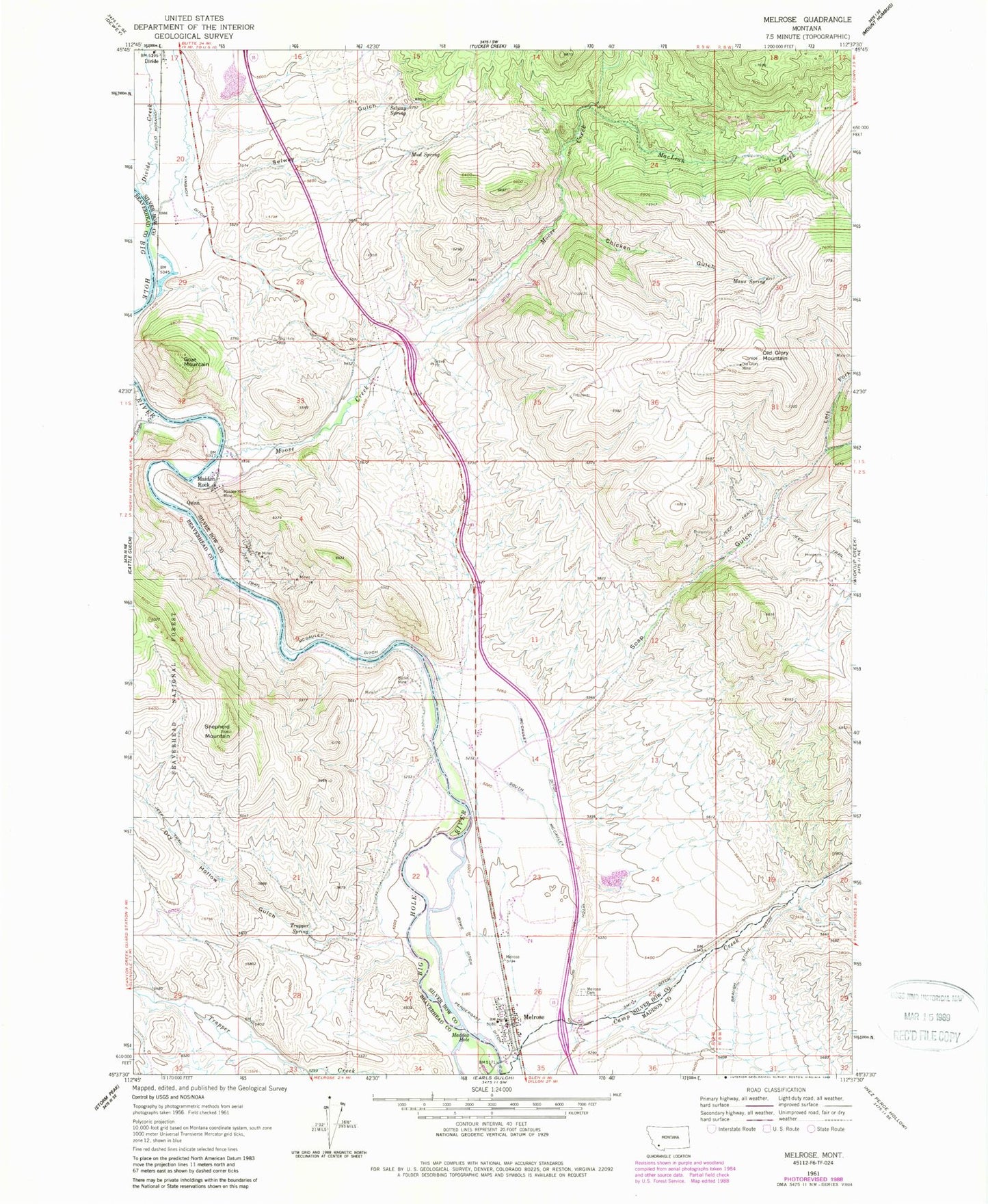
Historical USGS topographic quad map of Melrose in the state of Montana. Map scale may vary for some years, but is generally around 1:24,000. Print size is approximately 24" x 27"
This quadrangle is in the following counties: Beaverhead, Madison, Silver Bow.
The map contains contour lines, roads, rivers, towns, and lakes. Printed on high-quality waterproof paper with UV fade-resistant inks, and shipped rolled.
Contains the following named places: Berlin Mine, Big Hole River Historical Marker, Boes Bridge, Bowe Ditch, Braugh Stone Ditch, Canyon Creek, Chicken Gulch, Comet/Lead-Silver Mine, Divide, Dry Hollow Gulch, Goat Mountain, Gold King Mine, Humbug Spires Campground, Johnson Ditch, Keiths, Kimbach Ditch, Left Fork Soap Gulch, MacLean Creek, Maddox Hole, Maiden Rock, Maiden Rock Campground, Maiden Rock Mine, Maidenrock Campground, Maidenrock Fishing Access Site, Maws Spring, McCauley Ditch, Melrose, Melrose Cemetery, Melrose Post Office, Melrose Rural Fire Department, Melrose School, Moose Creek, Mud Spring, NE SW Section 31 Mine, Old Glory Mine, Quinn, Salmon Fly Campground, SE SE Section 30 Mine, Selway Gulch, Selway Spring, Shepherd Mountain, Smith Ditch, Soap Gulch, Soap Gulch Barite Mine, South McCauley Ditch, Sportsman Motel and RV Park, SW SW Section 5 Mine, Tamarack Mine, Trapper Spring, ZIP Code: 59743


