MyTopo
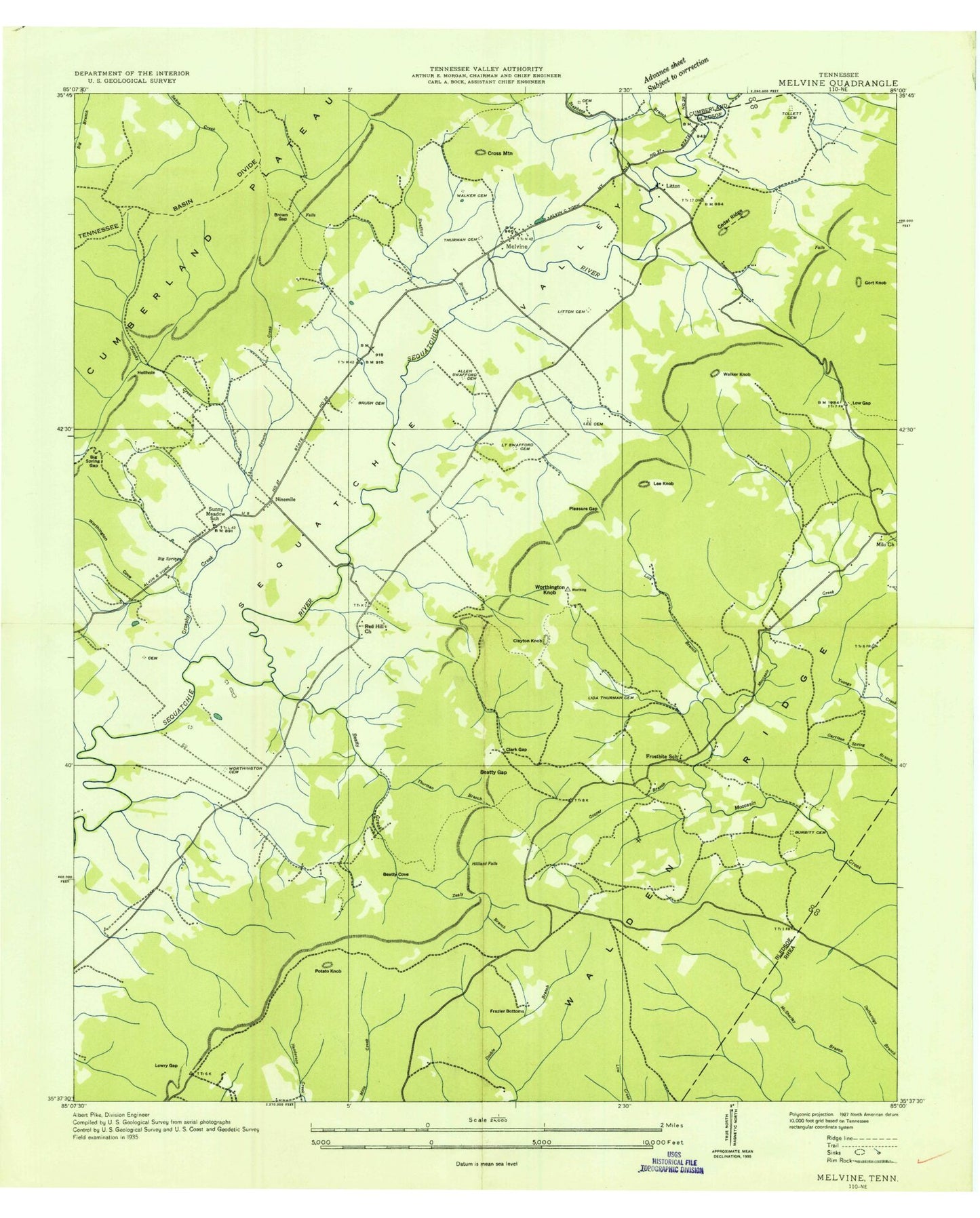
Classic USGS Melvine Tennessee 7.5'x7.5' Topo Map
Couldn't load pickup availability
Historical USGS topographic quad map of Melvine in the state of Tennessee. Typical map scale is 1:24,000, but may vary for certain years, if available. Print size: 24" x 27"
This quadrangle is in the following counties: Bledsoe, Cumberland, Rhea.
The map contains contour lines, roads, rivers, towns, and lakes. Printed on high-quality waterproof paper with UV fade-resistant inks, and shipped rolled.
Contains the following named places: Smyrna Cemetery, Stephens Cemetery, Swafford Branch, Thomas Y Swafford Cemetery, Swafford Chapel, Taylor Branch, Thurman Cemetery, Thurman Cemetery, Thurman Cemetery Number 1, Thurman Hollow, Tollett Cemetery, Tollett Lake, Walker Cemetery, Walker Knob, Worthington Cemetery, Worthington Knob, Zealy Branch, Arnett Cemetery, Beatty Cove, Beatty Gap, Big Spring, Big Spring Gap, Browns Creek, Brushy Cemetery, Burden Cemetery, Cedar Ridge, Clark Gap, Clayton Knob, Cooper Branch, Cross Mountain, Dunn Cemetery, Frazier Bottoms, Frazier Spring, Gentry Cemetery, Hale Cemetery, Hamilton Cemetery, Hellhole, Hellhole Branch, Hughes Cemetery, Hutcheson Cemetery, Kerley Hollow, Lee Cemetery, Lee Hollow, Lee Knob, Lester Cemetery, Lick Branch, Little Creek, Lone Oak Church, Lowe Gap, Lowry Gap, Melvine, Mill Branch, Mount Carmel Church, Oxier Branch, Oxier Gap, Pleasure Gap, Pollard Cove, Potato Knob, Red Hill Church, Rocky Branch, Rollins Cemetery, Shady Vale Church, Richard Carmack Lake, Richard Carmack Lake Dam, Stephens Branch, Worthington Cove, Brown Gap, Gort Knob, Hilliard Falls, Rainy (historical), Tanbark (historical), Litton, Luminary, Ninemile, Cedar Grove Church (historical), Frost Bit School (historical), Goldberg Mine, Honeycut Mine, Locust Grove Church (historical), Neal Mine, Patten School (historical), Red Hill School (historical), T A Swafford Cemetery, Swafford Chapel Cemetery, Thurman Chapel (historical), Tollett Mill (historical), Tollett School (historical), Wright School (historical), Commissioner District 2, Luminary / Frostbite Volunteer Fire Department, Austin Field


