MyTopo
Classic USGS Mena Arkansas 7.5'x7.5' Topo Map
Couldn't load pickup availability
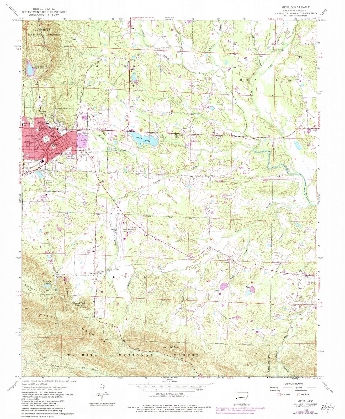
Historical USGS topographic quad map of Mena in the state of Arkansas. Map scale may vary for some years, but is generally around 1:24,000. Print size is approximately 24" x 27"
This quadrangle is in the following counties: Polk.
The map contains contour lines, roads, rivers, towns, and lakes. Printed on high-quality waterproof paper with UV fade-resistant inks, and shipped rolled.
Contains the following named places: 18th West Judicial District Drug Task Force, 71953, Bethesda Lake, Bethesda Lake Dam, Brier Creek, Calvary Baptist Church, Carter Creek, Chances Creek, Christ Episcopal Church, City of Mena, City of Mena Sewage Logoon, Corinth, Corinth Cemetery, Corinth Church of God, Covenant of Life Church, Cox Lake, Cox Lake Dam, Dallas, Dallas Avenue Baptist Church, Dallas Cemetery, Dallas Creek, Dallas Mountain, Dallas Valley Rural Volunteer Fire Department Station 11, First Baptist Church, First Christian Church, First Freewill Baptist Church, First Presbyterian Church, First United Methodist Church, Free Jesus Name Pentecostal Holiness Church, Harmony Primitive Baptist Church, High Peak, Hillcrest Lake, Hillcrest Lake Dam, Holly Harshman Elementary School, Holly Springs Church, Irons Fork, James Flying Service (Air Medical Services), Janssen Park, KENA-AM (Mena), KENA-FM (Mena), Lake Mena Dam, Lee McMillian Memorial Park, Lewis Creek, Lick Branch, Mena, Mena Bible Church, Mena Church of the Nazarene, Mena Fire Department Station 1, Mena Fire Department Station 2, Mena High School, Mena Intermountain Municipal Airport, Mena Lake, Mena Middle School, Mena Police Department, Mena Post Office, Mena Ranger Station, Mena Regional Health System, Mena Work Center, Menna Visitor Information Station, Muddy Creek, Northside Shopping Center, Nunley, Nunley Cemetery, Old Dallas Methodist Church, Ouachita Country Club, Owens Cemetery, Patchett Lake, Patchett Lake Dam, Pinecrest Cemetery, Polk County Courthouse, Polk County Development Center, Polk County Sheriff's Office, Powell Lake, Powell Lake Dam, Prairie Creek, Rich Mountain Community College, Round Top Mountain, Saint Agnes Catholic Church, Saint Joseph School, Salem Baptist Church, Southwest Emergency Medical Service, Starkey Creek, Stilwell Elementary School, Tower Mountain, Township of Center, Trinity Lutheran Church, Union Mission Pentecostal Church of God, Ward Creek, Ward Lake, Ward Lake Dam, Wilhelmina Medical Center, Wolf Creek, Word of Faith Church