MyTopo
Classic USGS Mendenhall East Mississippi 7.5'x7.5' Topo Map
Couldn't load pickup availability
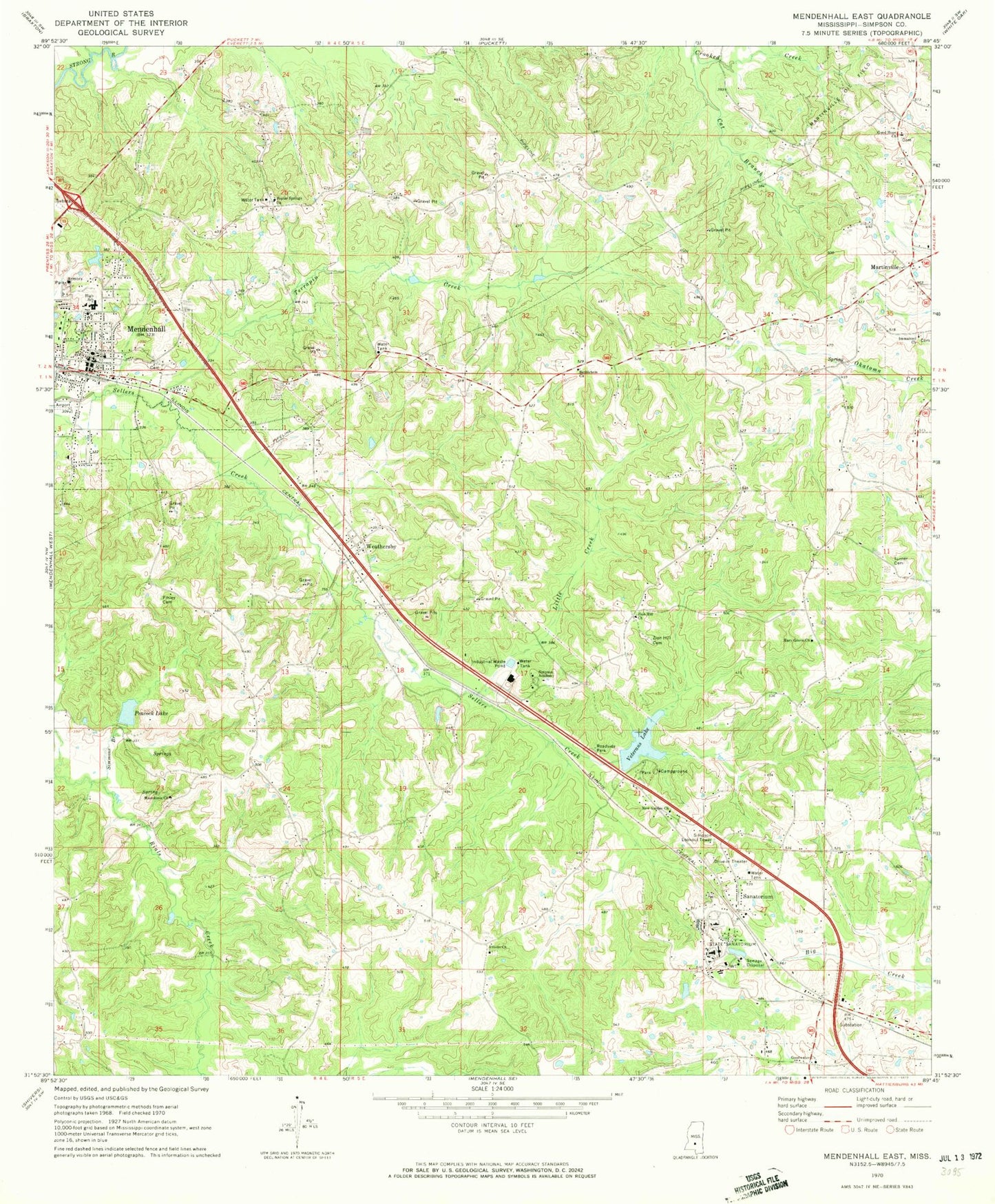
Historical USGS topographic quad map of Mendenhall East in the state of Mississippi. Map scale may vary for some years, but is generally around 1:24,000. Print size is approximately 24" x 27"
This quadrangle is in the following counties: Simpson.
The map contains contour lines, roads, rivers, towns, and lakes. Printed on high-quality waterproof paper with UV fade-resistant inks, and shipped rolled.
Contains the following named places: Athens Church, Bethlehem Church, Campbell Creek, Cat Branch, City of Mendenhall, Fayette School, Fayettehill, Finley Cemetery, First Baptist Church, Good Hope Church, Goodwater Cemetery, Goodwater Church, Goodwater School, Hays Mill, Immanuel Church, Little Creek, Macedonia Cemetery, Macedonia Church, Macedonia School, Main Street Baptist Church, Martinville, Martinville Oil Field, Mary Grove Baptist Church, May School, Mendenhall, Mendenhall City Police Department, Mendenhall Elementary School, Mendenhall High School, Mendenhall Junior High School, Mendenhall Post Office, Mendenhall United Methodist Church, Mendenhall Volunteer Fire Department, New Galilee Church, New Prospect Church, Patterson School, Peacock Lake, Peacock Lake Dam, Poplar Springs Cemetery, Poplar Springs Church, Sanatorium, Simmons Branch, Simpson Academy, Simpson County Sheriff's Office, Simpson Legion Lake Dam, Simpson Legion State Fishing Lake, Simpson Lookout Tower, Station 7 Volunteer Fire Department, Supervisor District 1, Supervisor District 3, Terrapin Creek, Turner Cemetery, Weathersby, Zion Hill, Zion Hill Cemetery, Zion Hill Church, ZIP Code: 39114