MyTopo
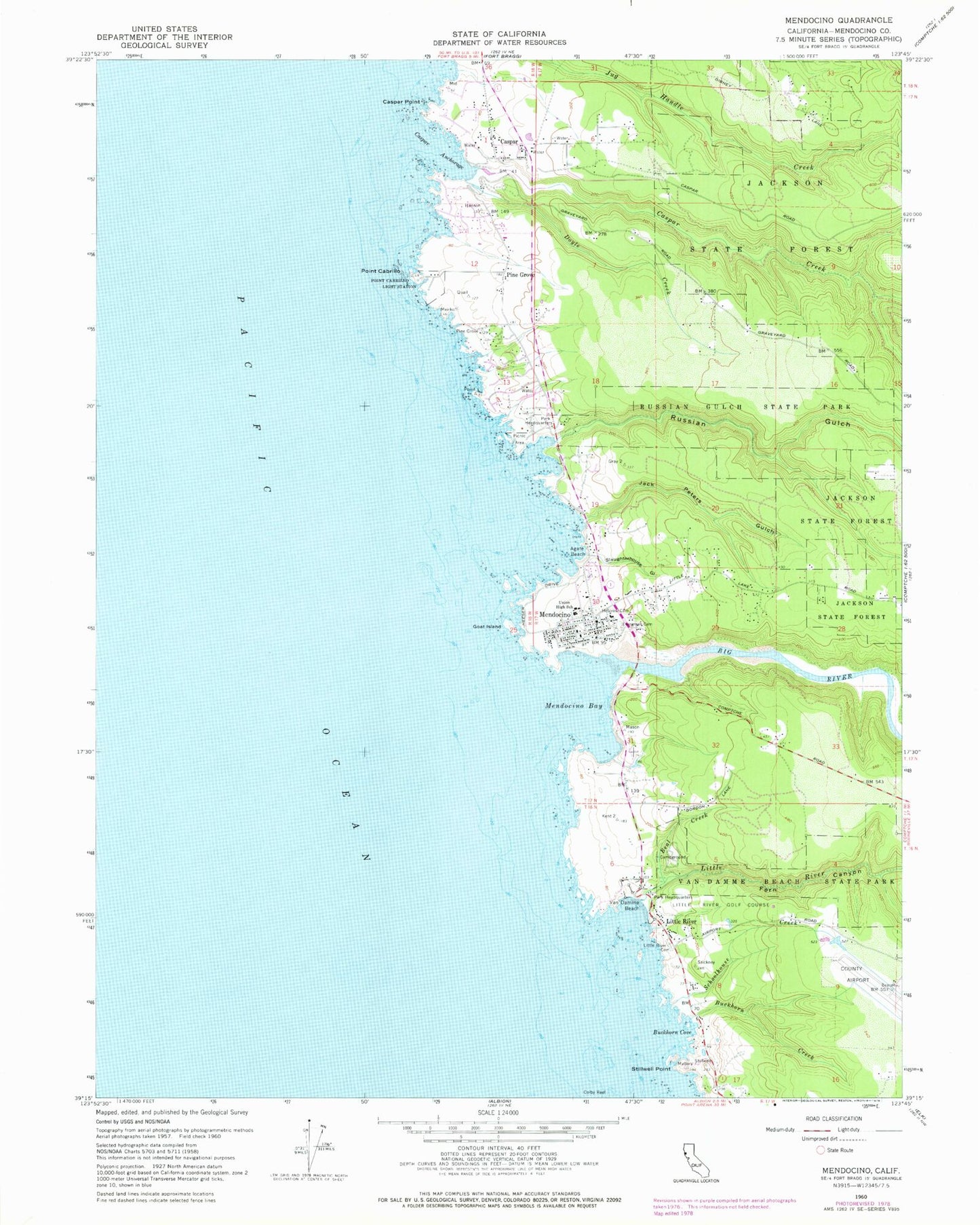
Classic USGS Mendocino California 7.5'x7.5' Topo Map
Couldn't load pickup availability
Historical USGS topographic quad map of Mendocino in the state of California. Typical map scale is 1:24,000, but may vary for certain years, if available. Print size: 24" x 27"
This quadrangle is in the following counties: Mendocino.
The map contains contour lines, roads, rivers, towns, and lakes. Printed on high-quality waterproof paper with UV fade-resistant inks, and shipped rolled.
Contains the following named places: Agate Beach, Beal Creek, Big River, Buckhorn Cove, Buckhorn Creek, Caspar Anchorage, Caspar Creek, Caspar Point, Evergreen Cemetery, Fern Canyon, Goat Island, Hillcrest Cemetery, Jack Peters Gulch, Little River, Little River Cemetery, Mendocino Bay, Pine Grove, Cabrillo Point, Russian Gulch, Russian Gulch State Park, Schoolhouse Creek, Slaughterhouse Gulch, Stillwell Point, Mendocino High School, Van Damme Beach, Pacific Ocean, Doyle Creek, Little River Airport, Little River Golf Course, Point Cabrillo Light Station, Caspar, Little River, Mendocino, Van Damme State Park, KPMO-AM (Mendocino), KMFB-FM (Mendocino), Jug Handle State Natural Reserve, Caspar Headlands State Beach, Caspar Post Office (historical), Ford House Museum, Four Square Light House Church, Friendship Park, Kelley House Museum, Mendocino and Headlands Historic District, Mendocino Art Center, Mendocino Baptist Church, Mendocino Community Library, Mendocino Headlands State Park, Mendocino Post Office, Mendocino Presbyterian Church, Saint Anthony Catholic Church, Temple of Kwan Ti, Mendocino Census Designated Place, Mendocino Sunrise High School, Mendocino K - 8 School, Mendocino Community High School, Mendocino Alternative School, Mendocino Middle School, Caspar Headlands State Natural Reserve, Point Cabrillo Light Station State Historic Park, Mendocino Volunteer Fire Department Station 841, Mendocino Volunteer Fire Department Station 840, Caspar Census Designated Place, Little River Census Designated Place, Jughandle, Blowhole, Caspar Cemetery, Little River Post Office


