MyTopo
Classic USGS Mendon Missouri 7.5'x7.5' Topo Map
Couldn't load pickup availability
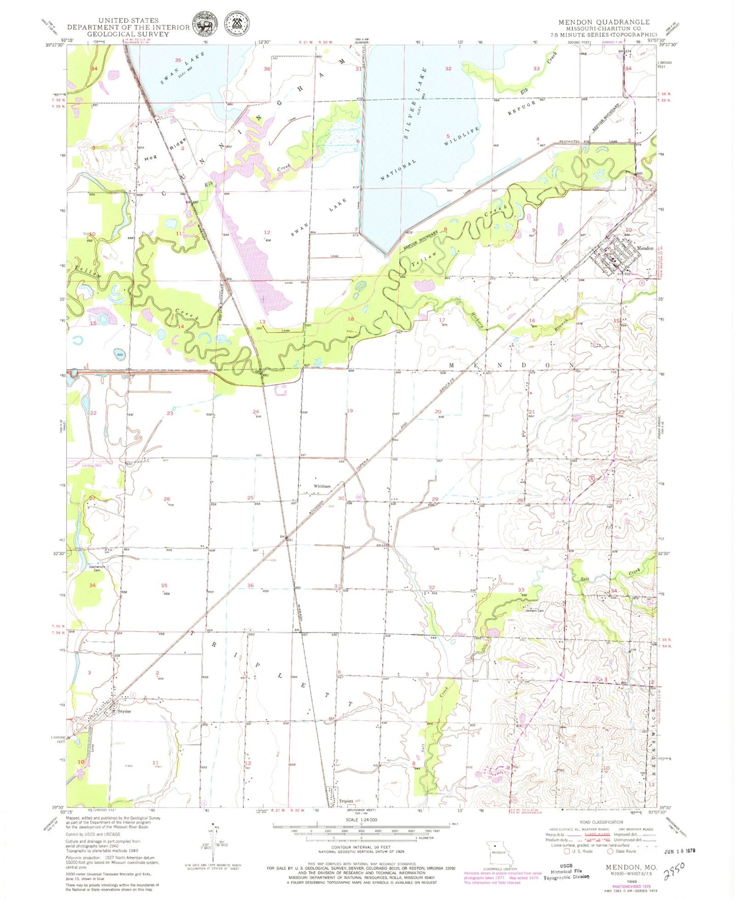
Historical USGS topographic quad map of Mendon in the state of Missouri. Map scale may vary for some years, but is generally around 1:24,000. Print size is approximately 24" x 27"
This quadrangle is in the following counties: Chariton.
The map contains contour lines, roads, rivers, towns, and lakes. Printed on high-quality waterproof paper with UV fade-resistant inks, and shipped rolled.
Contains the following named places: City of Mendon, Collinswood, Eagle Lodge Airport, Elk Creek, Hampton Feed Lot, Hickory Branch, Hog Ridge, Hog Ridge School, Jackson Cemetery, Levee 2 - South Pool Dam, Levee 3-Silver Lake Dam, Levee 5-Swan Lake Dam, Mendon, Mendon Post Office, Mendon Public Fire Protection District, Refuge Headquarters, Silver Lake, Silver Lake Pool, Snyder, South Lake, South Pool, Stephenson Cemetery, Stephenson School, Swan Lake, Swan Lake National Wildlife Refuge, Swan Lake Pool, Township of Mendon, Township of Triplett, Whitham, ZIP Code: 65286