MyTopo
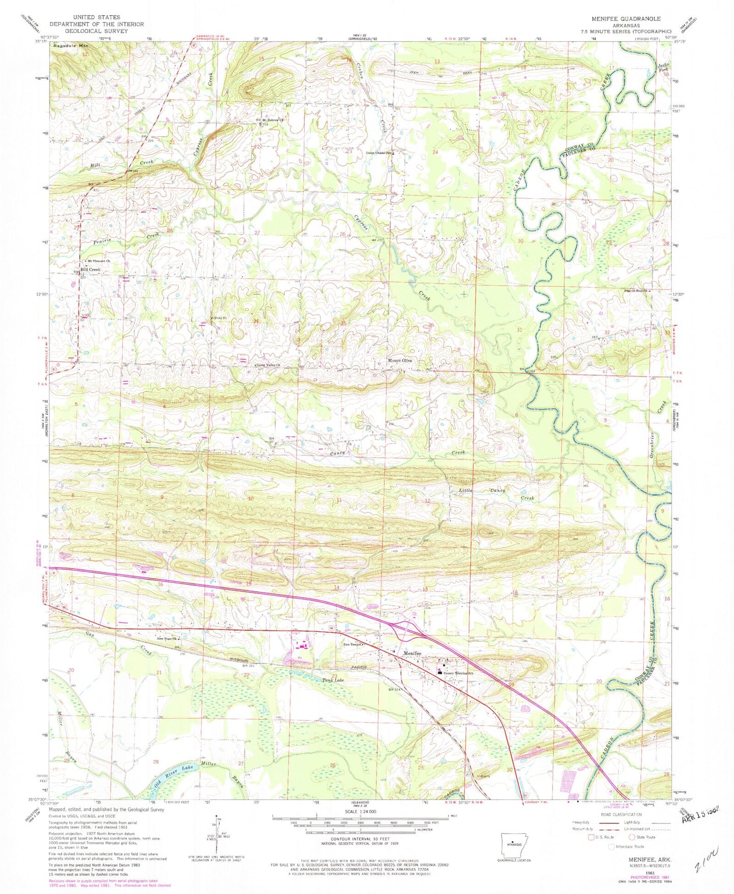
Classic USGS Menifee Arkansas 7.5'x7.5' Topo Map
Couldn't load pickup availability
Historical USGS topographic quad map of Menifee in the state of Arkansas. Map scale may vary for some years, but is generally around 1:24,000. Print size is approximately 24" x 27"
This quadrangle is in the following counties: Conway, Faulkner.
The map contains contour lines, roads, rivers, towns, and lakes. Printed on high-quality waterproof paper with UV fade-resistant inks, and shipped rolled.
Contains the following named places: Arkansas Noname 24 Dam, Brewer Lake, Brewer Lake Dam, Caney Creek, Caney Valley Church, Clebb, Creben Creek, Cypress Creek, East Side Elementary School, Gap Creek, Greenbrier Creek, Hill Creek, Hillcreek Fire Department District 8, Jacks Fork, Little Caney Creek, Menifee, Menifee Fire Department District 9, Menifee Police Department, Menifee Post Office, Mount Hebrew Church, Mount Olive, Mount Pleasant Church, New Hope Baptist Church, Pilgrim Rest Missionary Baptist Church, Prairie Creek, Shaw Bridge, Slaty Ford, Tank Lake, Town of Menifee, Township of Howard, Township of Steele, Tupelo Creek, Union Chapel School, Zion Temple Church of God, ZIP Codes: 72107, 72127


