MyTopo
Classic USGS Merced Falls California 7.5'x7.5' Topo Map
Couldn't load pickup availability
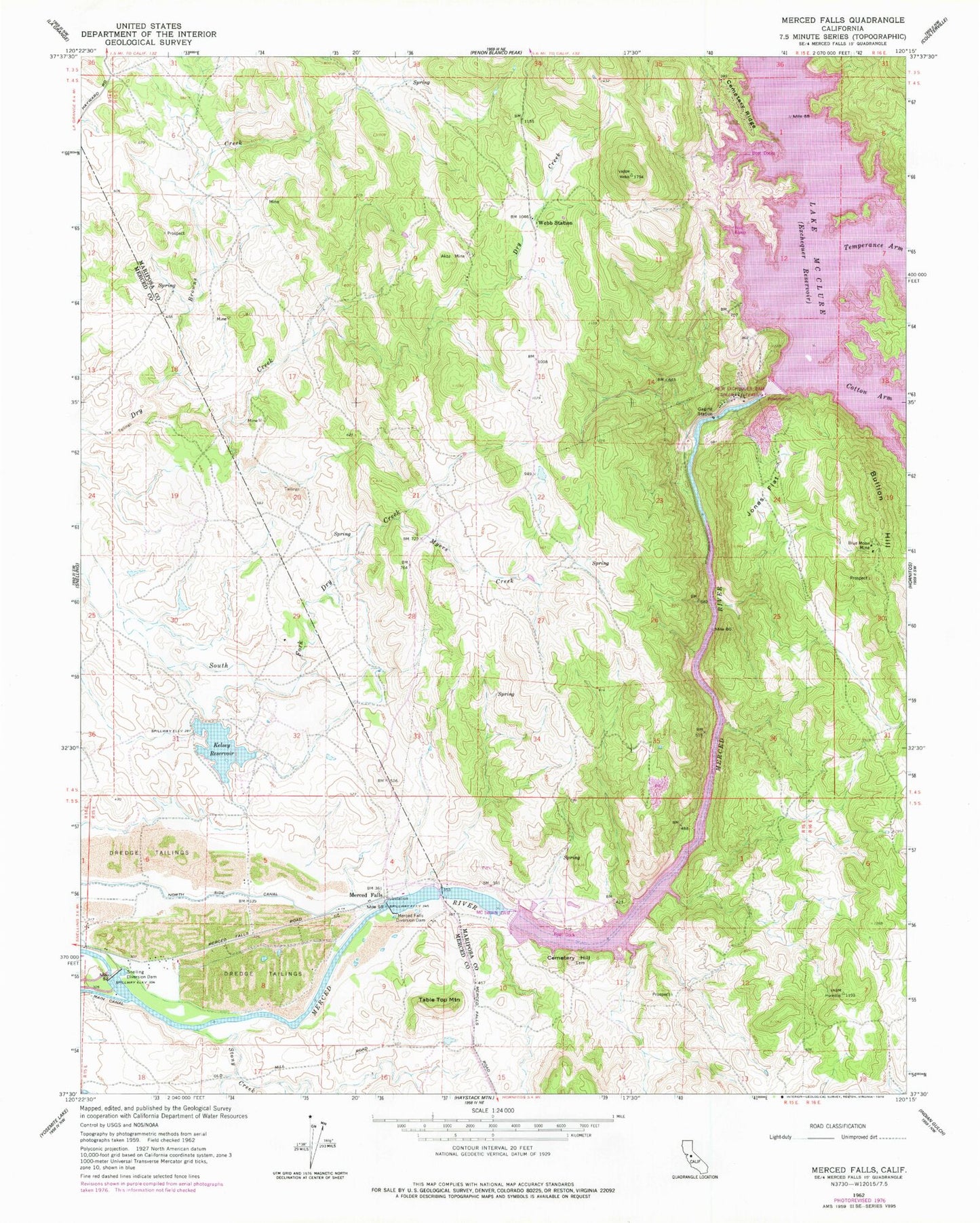
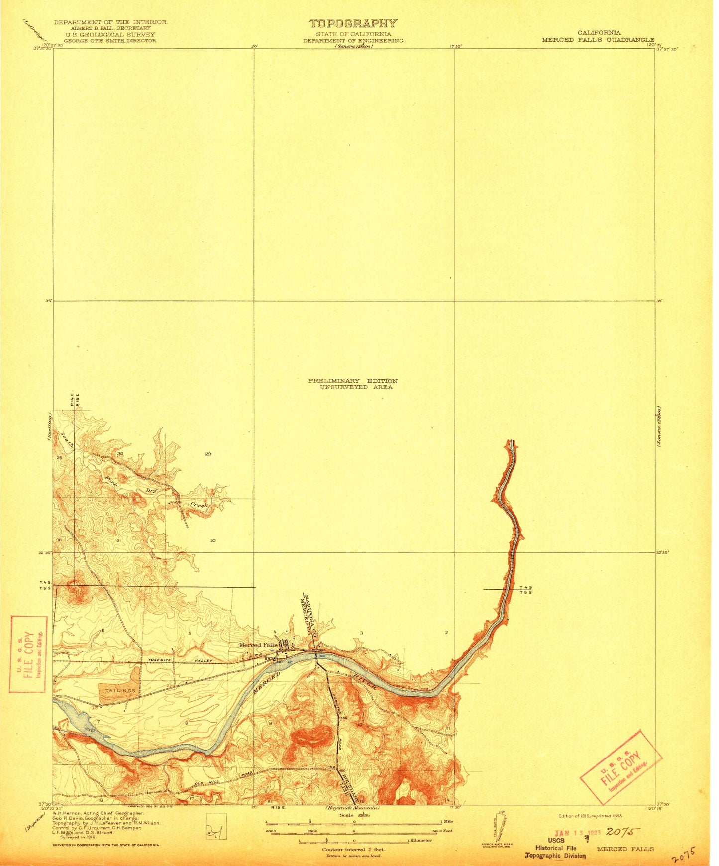
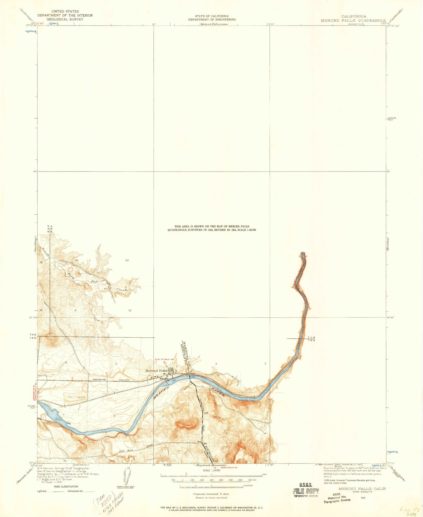
Historical USGS topographic quad map of Merced Falls in the state of California. Map scale may vary for some years, but is generally around 1:24,000. Print size is approximately 24" x 27"
This quadrangle is in the following counties: Mariposa, Merced.
The map contains contour lines, roads, rivers, towns, and lakes. Printed on high-quality waterproof paper with UV fade-resistant inks, and shipped rolled.
Contains the following named places: Akoz Mine, Blue Moon Mine, Browns Creek, Bullion Hill, Cemetery Hill, Cemetery Ridge, Crocker Diversion 58-000 Dam, Jones Flat, Kelsey 662 Dam, Kelsey Reservoir, Lake McClure, Lucky Quartz Mine, McClure Point Recreation Area, McSwain 58-004 Dam, Merced Falls, Merced Falls Diversion Dam, Myers Creek, New Exchequer Dam, Snelling Diversion Dam, Stoney Creek, Table Top Mountain, Temperance Arm, Webb Station


