MyTopo
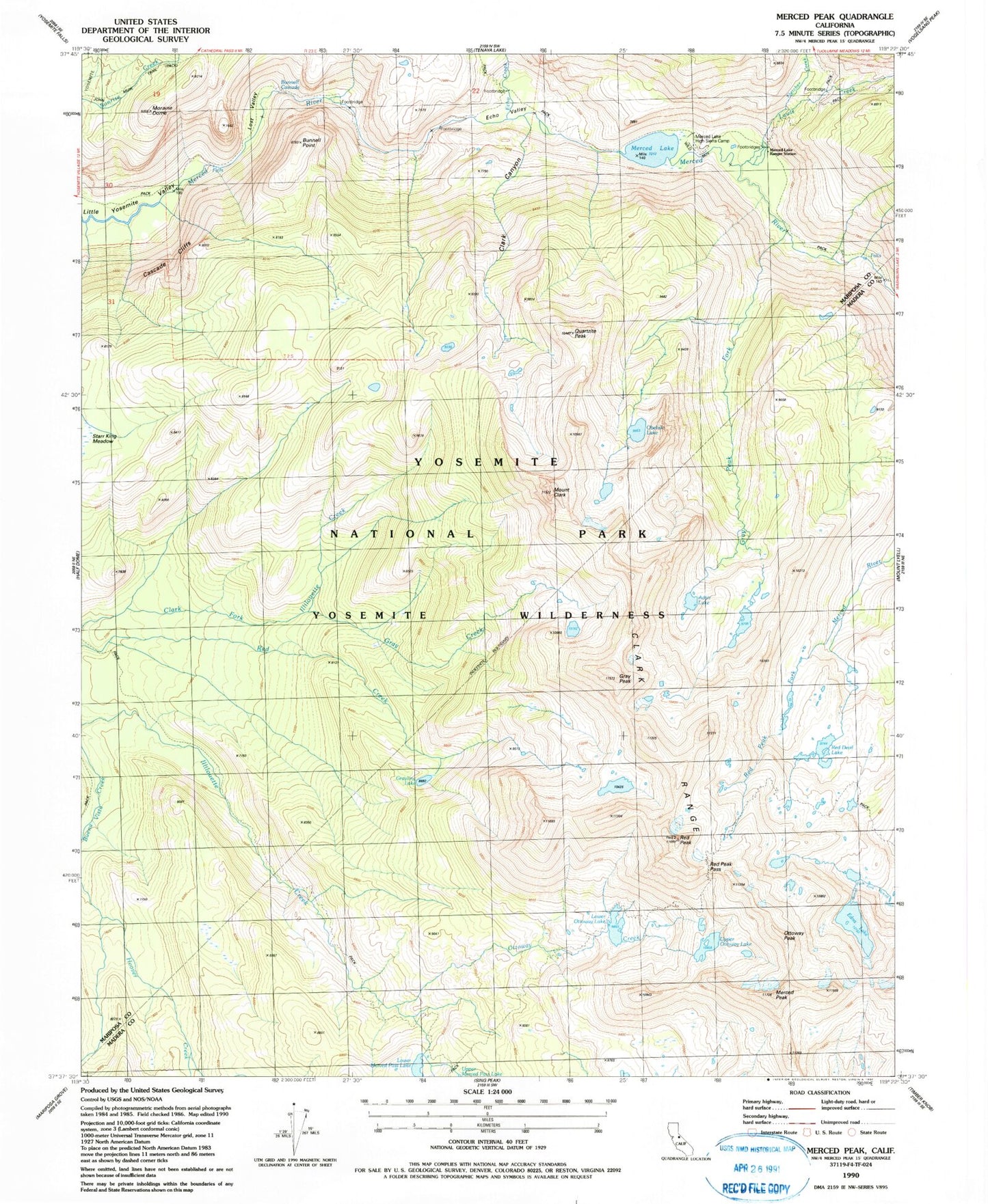
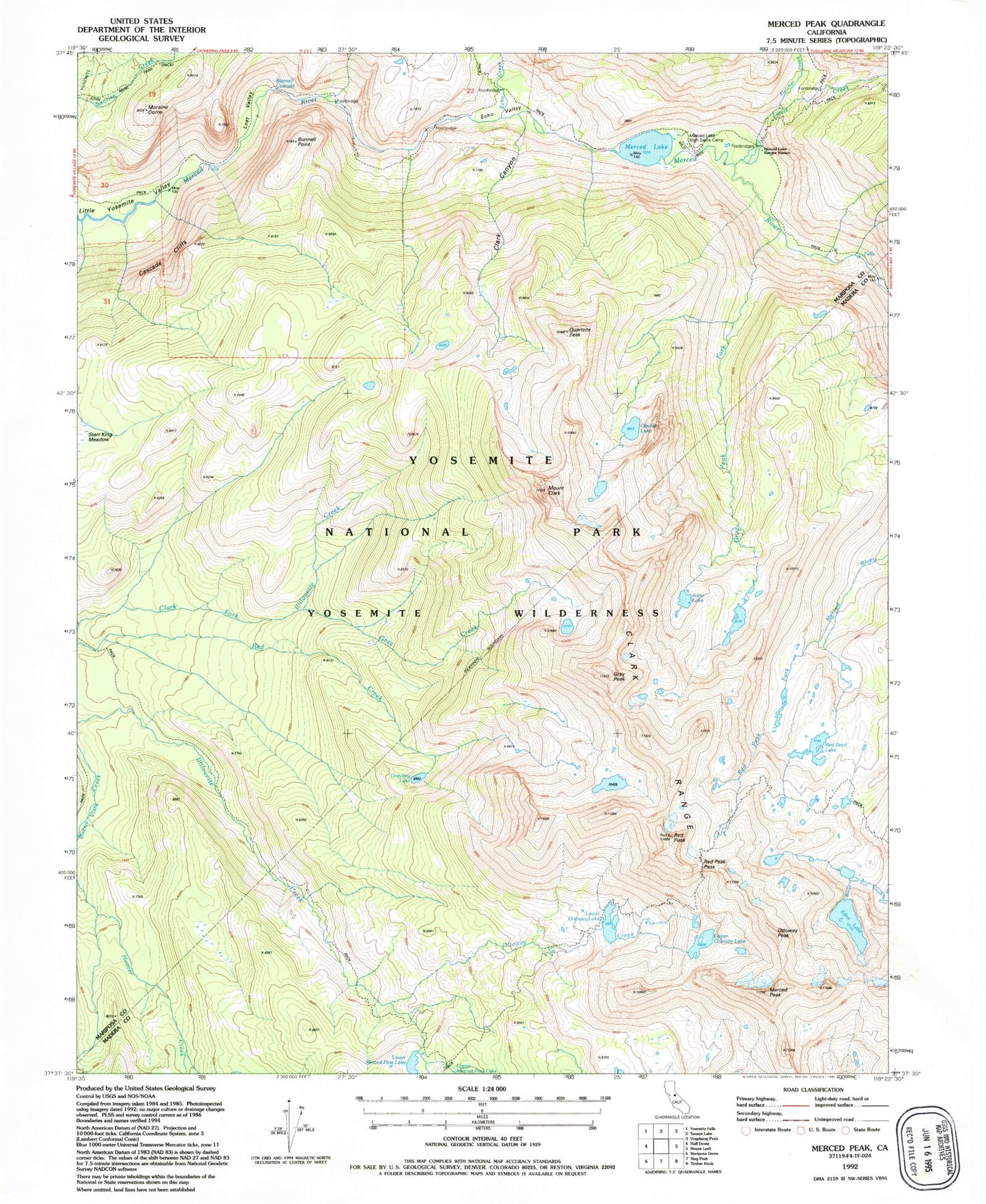
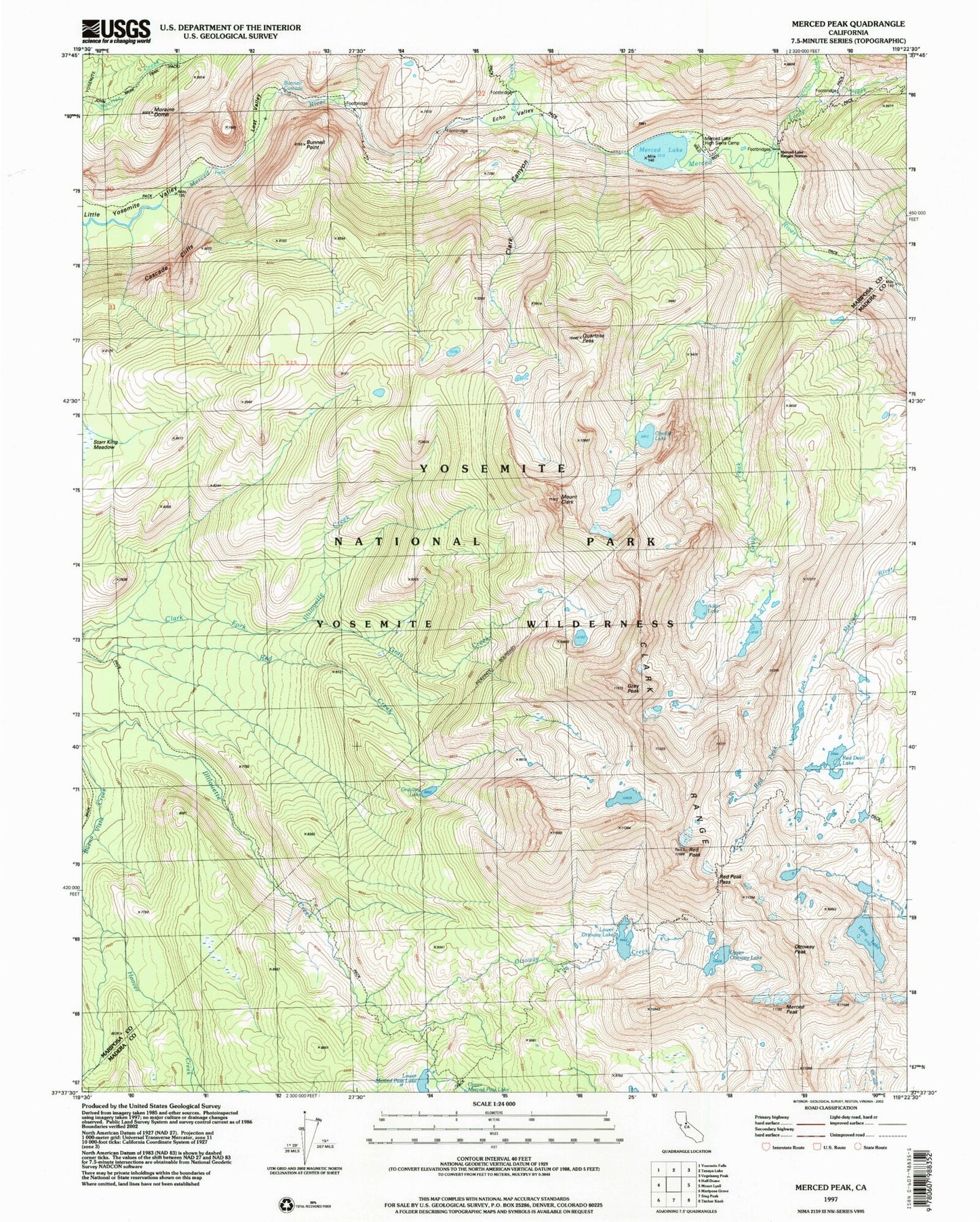
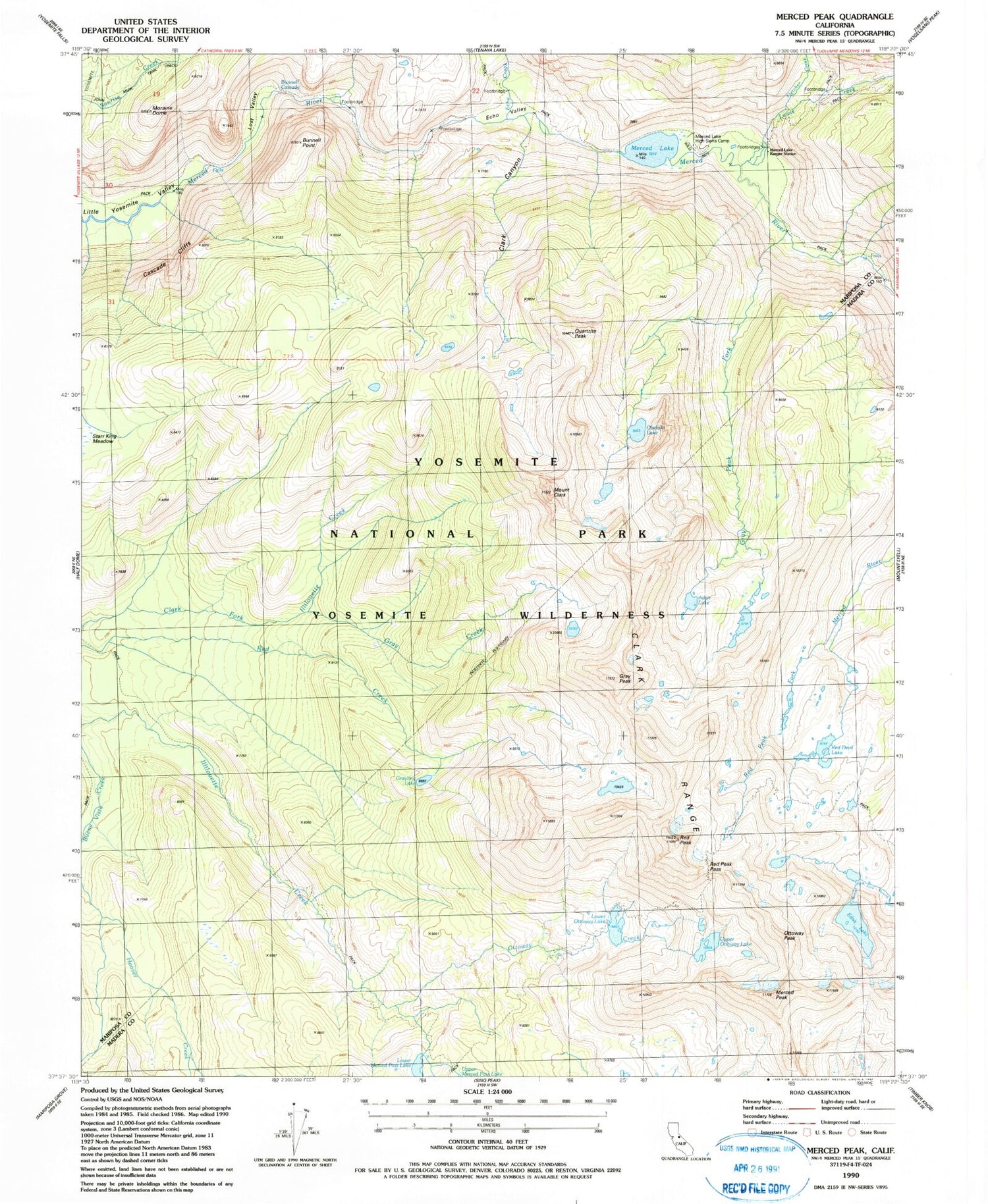
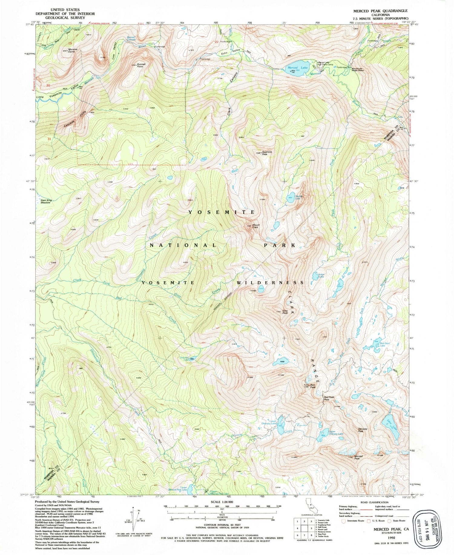
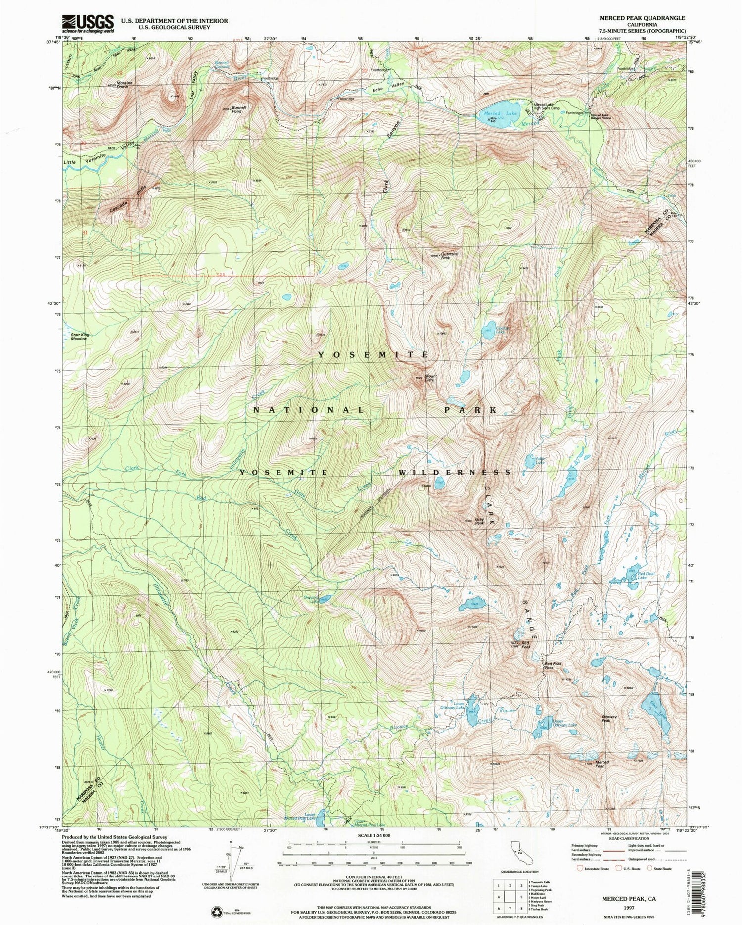
USGS Classic Merced Peak California 7.5'x7.5' Topo Map
Couldn't load pickup availability
Historical USGS topographic quad map of Merced Peak in the state of California. Scale: 1:24000. Print size: 24" x 27"
This quadrangle is in the following counties: Madera, Mariposa.
The map contains contour lines, roads, rivers, towns, lakes, and grids including latitude / longitude and UTM / MGRS. Printed on high-quality waterproof paper with UV fade-resistant inks.
Contains the following named places: Echo Valley, Lost Valley, Lower Merced Pass Lake, Lower Ottoway Lake, Merced Lake, Red Devil Lake, Upper Ottoway Lake, Ottoway Lakes, Gray Peak Fork, Red Peak Pass, Adair Lake, Gray Creek, Gray Peak, Grayling Lake, Merced Lake Ranger Station, Merced Peak, Echo Creek, Edna Lake, Quartzite Peak, Bunnell Cascade, Bunnell Point, Cascade Cliffs, Clark Canyon, Mount Clark, Moraine Dome, Obelisk Lake, Ottoway Creek, Red Peak, Fletcher Creek, Lewis Creek, Merced Lake High Sierra Camp, Clark Range, Ottoway Peak, Bunnell Cliff
