MyTopo
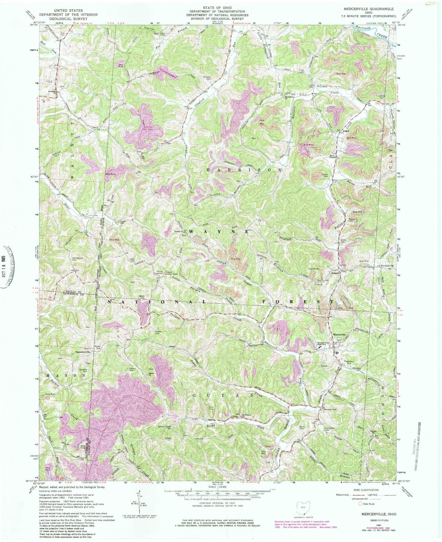
Classic USGS Mercerville Ohio 7.5'x7.5' Topo Map
Couldn't load pickup availability
Historical USGS topographic quad map of Mercerville in the state of Ohio. Map scale may vary for some years, but is generally around 1:24,000. Print size is approximately 24" x 27"
This quadrangle is in the following counties: Gallia, Lawrence.
The map contains contour lines, roads, rivers, towns, and lakes. Printed on high-quality waterproof paper with UV fade-resistant inks, and shipped rolled.
Contains the following named places: Angel, Angel Post Office, Bailey Chapel, Bethesda Cemetery, Bethesda Methodist Church, Bethlehem Cemetery, Bethlehem Church, Boggs, Boggs Post Office, Burnt Run, Campbell Cemetery, Dickey Cemetery, Dickey Church, Drake Fork Indian Guyan Creek, Fairview Lookout Tower, Fellure Cemetery, Gallia County District Two Volunteer Fire Department, Garlic Cemetery, Hannan Trace Elementary School, Hannan Trace High School, Harrison Township Volunteer Fire Department, Hilton, Hilton Post Office, Hollis, Hollis Post Office, Houck Cemetery, Johns Creek, Johnson Cemetery, Lanes Branch, Leaper, Leaper Post Office, Lewis Cemetery, Lincoln Chapel, Lincoln Ridge Chapel Cemetery, Little Bullskin Creek, Little Perigen Creek, Loucks Cemetery, Macedoina Church, Macedonia Cemetery, Martt Cemetery, McCalls Cemetery, Mercerville, Mercerville Cemetery, Mercerville Post Office, Moody, Moody Post Office, Mount Carmel Cemetery, Nobles Paradise Lake, Nobles Paradise Lake Dam, Notter Cemetery, Okey, Okey Post Office, Old Walnut Ridge Cemetery, Perigen Creek, Providence Cemetery, Providence Church, Ridgelawn Cemetery, Rocklick Creek, Rocky Fork, Ruby, Ruby Post Office, Sanders Cemetery, Saundersville, Sheets Cemetery, Siloam Cemetery, Smith Cemetery, Stewart Chapel Cemetery, Swindler Cemetery, Township of Guyan, Township of Harrison, Trotter Cemetery, Victory Cemetery, Victory Church, Waugh Cemetery, White Cemetery, White Church, ZIP Code: 45623


