MyTopo
Classic USGS Mercury Nevada 7.5'x7.5' Topo Map
Regular price
$16.95
Regular price
Sale price
$16.95
Unit price
per
Couldn't load pickup availability
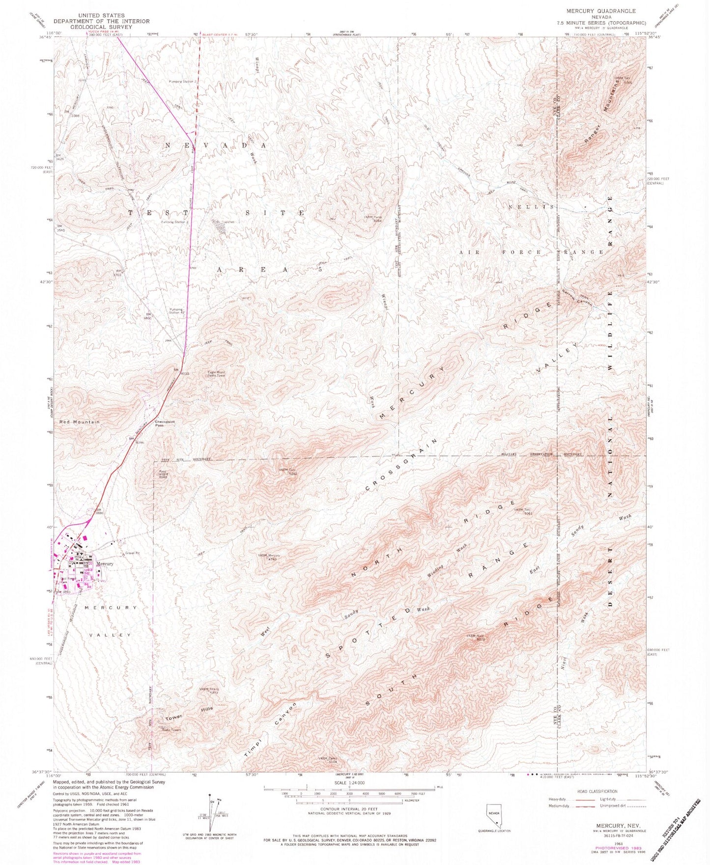
Historical USGS topographic quad map of Mercury in the state of Nevada. Map scale may vary for some years, but is generally around 1:24,000. Print size is approximately 24" x 27"
This quadrangle is in the following counties: Clark, Nye.
The map contains contour lines, roads, rivers, towns, and lakes. Printed on high-quality waterproof paper with UV fade-resistant inks, and shipped rolled.
Contains the following named places: Checkpoint Pass, Dell Frenzi Park, Eagle Roost Radio Tower, Mercury, Mercury Post Office, Mercury Ridge, Narrow Canyon, Pumping Station 2, Pumping Station 3, Pumping Station Four, South Ridge, Tower Hills, West Sandy Wash, Winding Wash