MyTopo
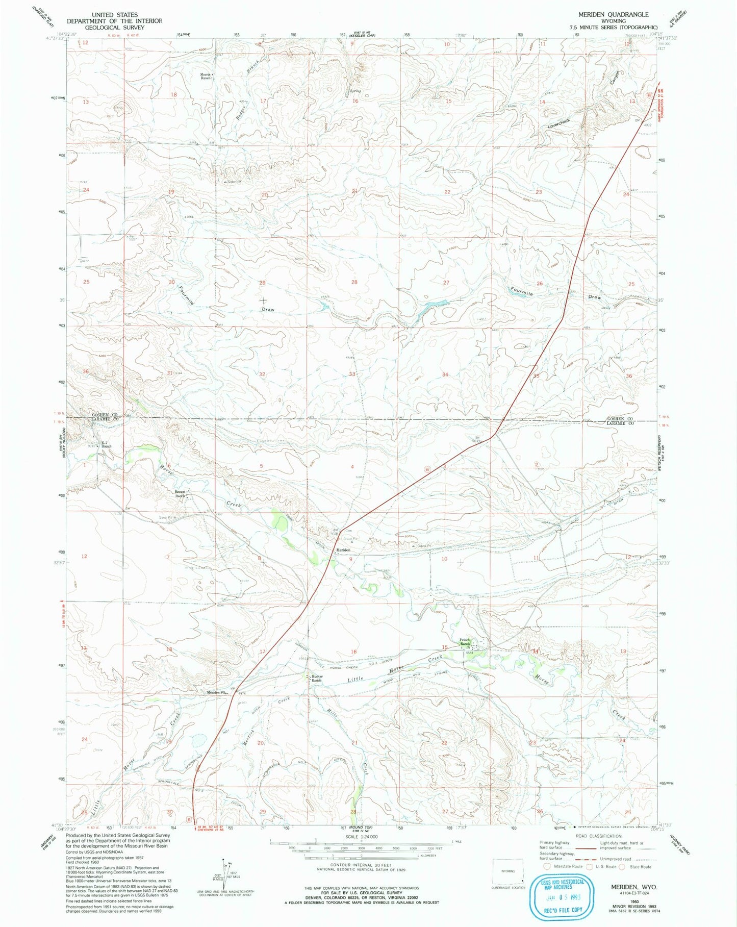
Classic USGS Meriden Wyoming 7.5'x7.5' Topo Map
Couldn't load pickup availability
Historical USGS topographic quad map of Meriden in the state of Wyoming. Map scale may vary for some years, but is generally around 1:24,000. Print size is approximately 24" x 27"
This quadrangle is in the following counties: Goshen, Laramie.
The map contains contour lines, roads, rivers, towns, and lakes. Printed on high-quality waterproof paper with UV fade-resistant inks, and shipped rolled.
Contains the following named places: Brown Ranch, Coad Dam, Coad Reservoir, E-7 Ranch, Herrick Creek, Hunter Ranch, Little Horse Creek, Little Horse Creek Number 4 Ditch, Meriden, Meriden Cemetery, Meriden Post Office, Mills Creek, Morrie Ranch, Petsch Ranch, Springvale Ditch, Springvale Number 1 Ditch, Springvale Number 2 Ditch, Sprinkler Geyser, Wood and Lykins Ditch