MyTopo
Classic USGS Merle Junction Iowa 7.5'x7.5' Topo Map
Regular price
$16.95
Regular price
Sale price
$16.95
Unit price
per
Couldn't load pickup availability
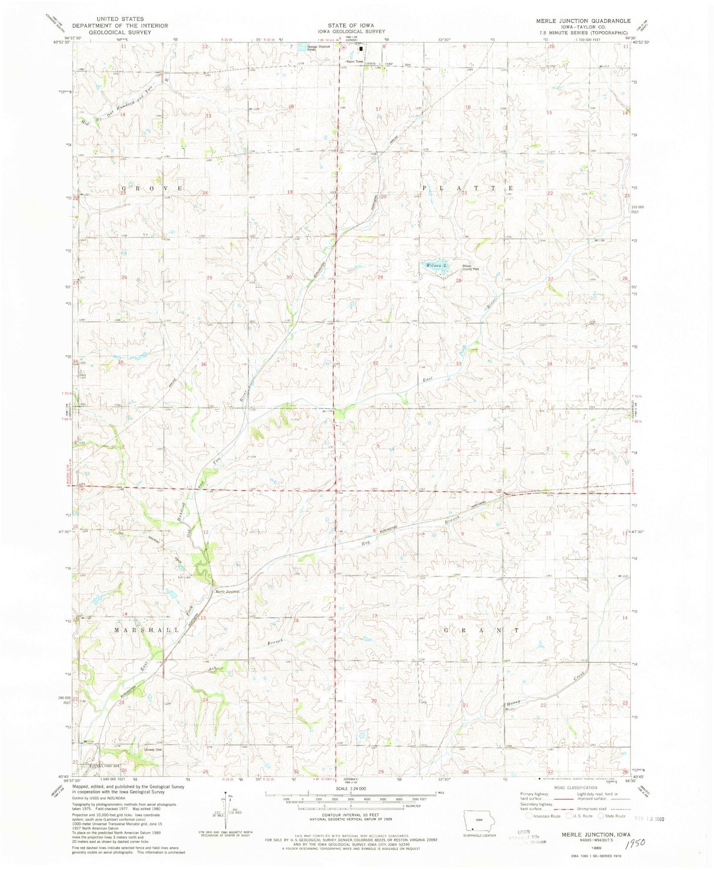
Historical USGS topographic quad map of Merle Junction in the state of Iowa. Map scale may vary for some years, but is generally around 1:24,000. Print size is approximately 24" x 27"
This quadrangle is in the following counties: Taylor.
The map contains contour lines, roads, rivers, towns, and lakes. Printed on high-quality waterproof paper with UV fade-resistant inks, and shipped rolled.
Contains the following named places: Ash Branch, Conway Cemetery, East River, Hog Branch, Litchfield Post Office, Merle Junction, Tando-Winslow Cemetery, Township of Grant, Township of Platte, Wilson County Park, Wilson Lake, Wilson Lake Dam