MyTopo
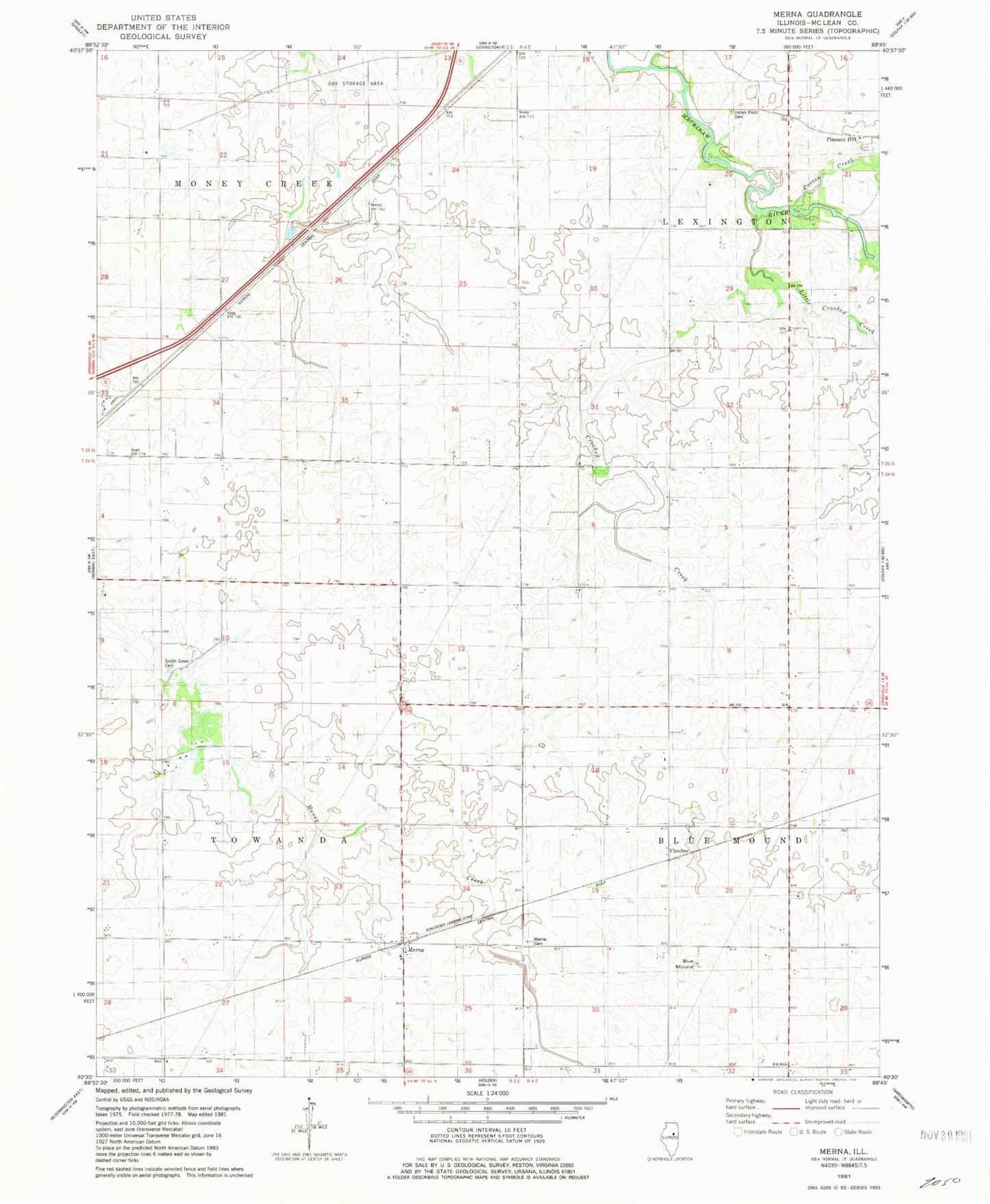
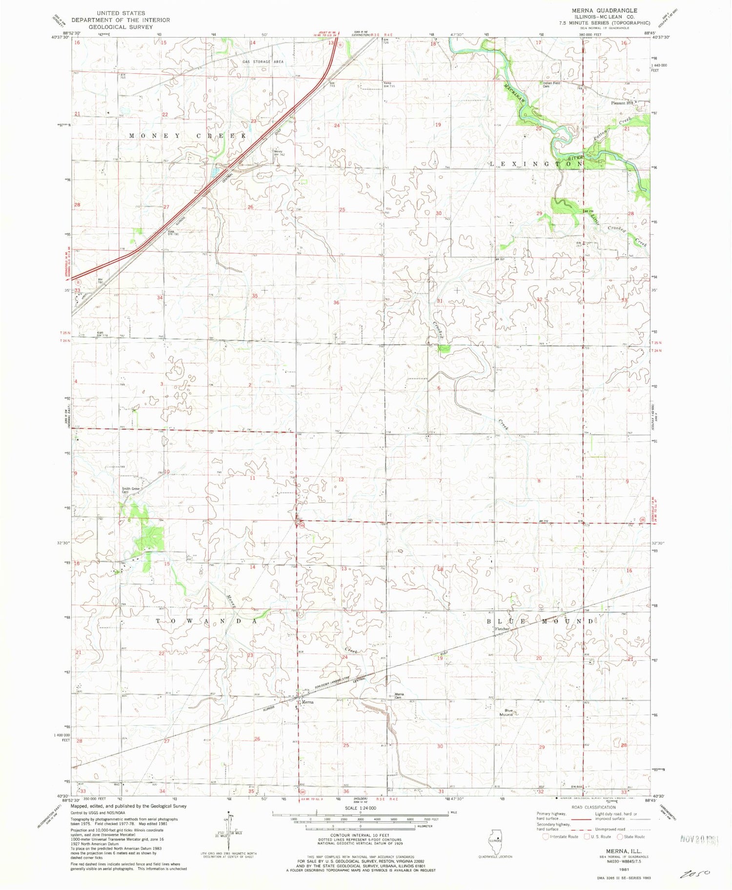
Classic USGS Merna Illinois 7.5'x7.5' Topo Map
Couldn't load pickup availability
Historical USGS topographic quad map of Merna in the state of Illinois. Map scale may vary for some years, but is generally around 1:24,000. Print size is approximately 24" x 27"
This quadrangle is in the following counties: McLean.
The map contains contour lines, roads, rivers, towns, and lakes. Printed on high-quality waterproof paper with UV fade-resistant inks, and shipped rolled.
Contains the following named places: Ballard School, Blue Mound, Chandler School, Crooked Creek, Fletcher, Frog Alley School, Holy Cross Cemetery, Horney School, Indian Field Cemetery, Lincoln School, Little Crooked Creek, Merna, Merna School, P J Killian Airport, Patton Creek, Phoenix School, Pleasant Hill Cemetery, Popejoy School, Schlosser Airport, Smith Grove Cemetery, Snow RLA Airport, Township of Money Creek, Township of Towanda, Union School, ZIP Code: 61776