
MyTopo
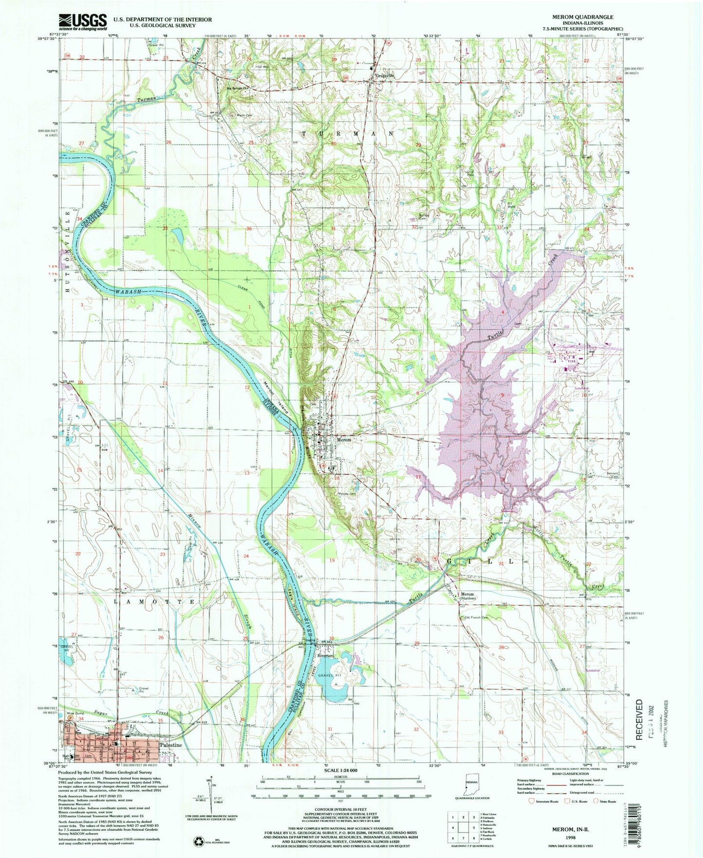
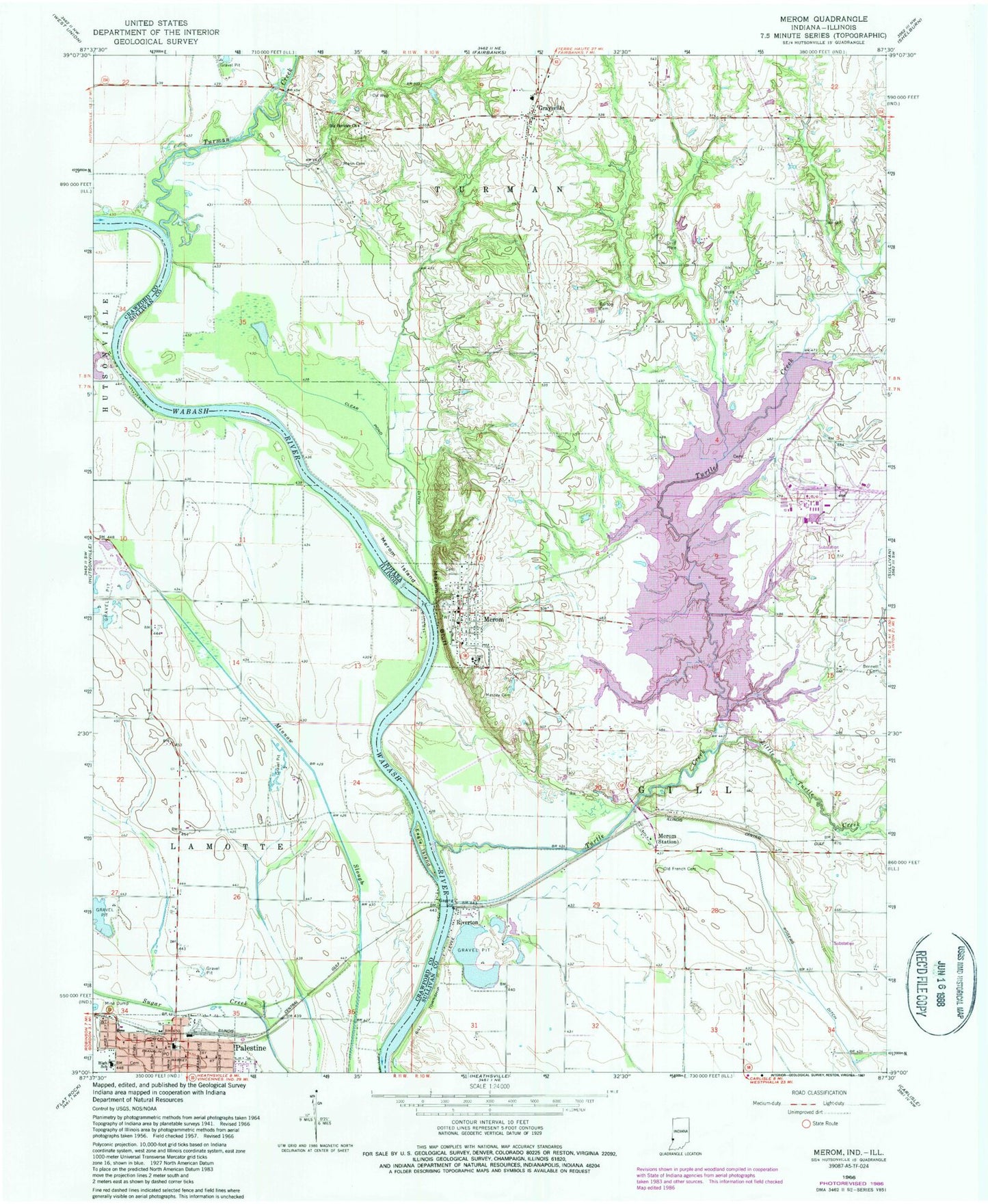
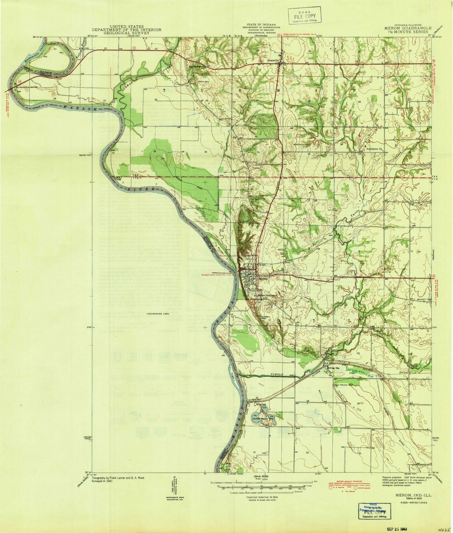
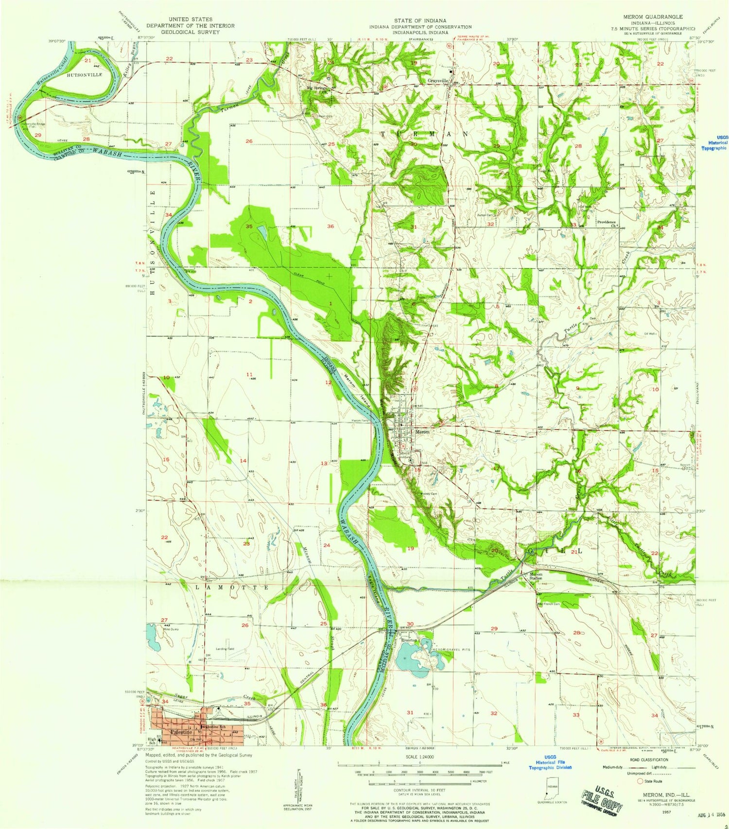
Classic USGS Merom Indiana 7.5'x7.5' Topo Map
Couldn't load pickup availability
Historical USGS topographic quad map of Merom in the states of Indiana, Illinois. Map scale may vary for some years, but is generally around 1:24,000. Print size is approximately 24" x 27"
This quadrangle is in the following counties: Crawford, Sullivan.
The map contains contour lines, roads, rivers, towns, and lakes. Printed on high-quality waterproof paper with UV fade-resistant inks, and shipped rolled.
Contains the following named places: Bennett Cemetery, Big Springs Church, Burton Hawkins Cemetery, Clear Pond Ditch, Eagle Island, Gill Township Volunteer Fire Department Station 1, Graysville, Graysville Elementary School, Graysville Post Office, Hoosier Energy Emergency Response Team, Kaufman Pond, Kitchell Cemetery, Lamotte Township Fire Protection District, Little Turtle Creek, Mann - Turman Prairie Cemetery, Massey Cemetery, Merom, Merom Bluff, Merom Ferry, Merom Island, Merom Post Office, Merom Station, Old French Cemetery, Palestine, Palestine Grade School, Palestine High School, Palestine Police Department, Palestine Post Office, Palestine Public Library, Pifer Farms, Riverton, Rogers Ditch, Town of Merom, Township of Gill, Township of Lamotte, Turman Creek, Turman Prairie, Turman Township Volunteer Fire Department, Turtle Creek, Turtle Creek Lake, Village of Palestine, ZIP Code: 47861