
MyTopo
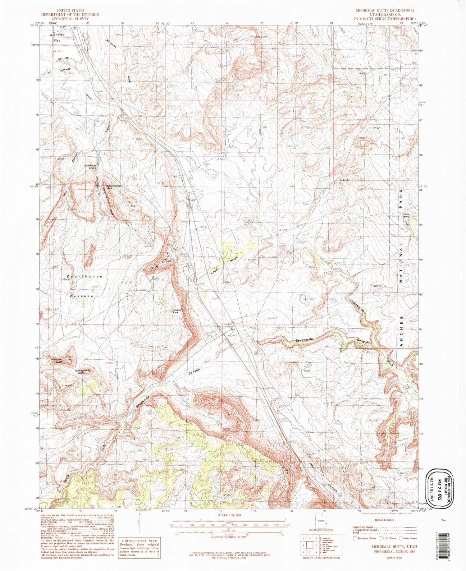
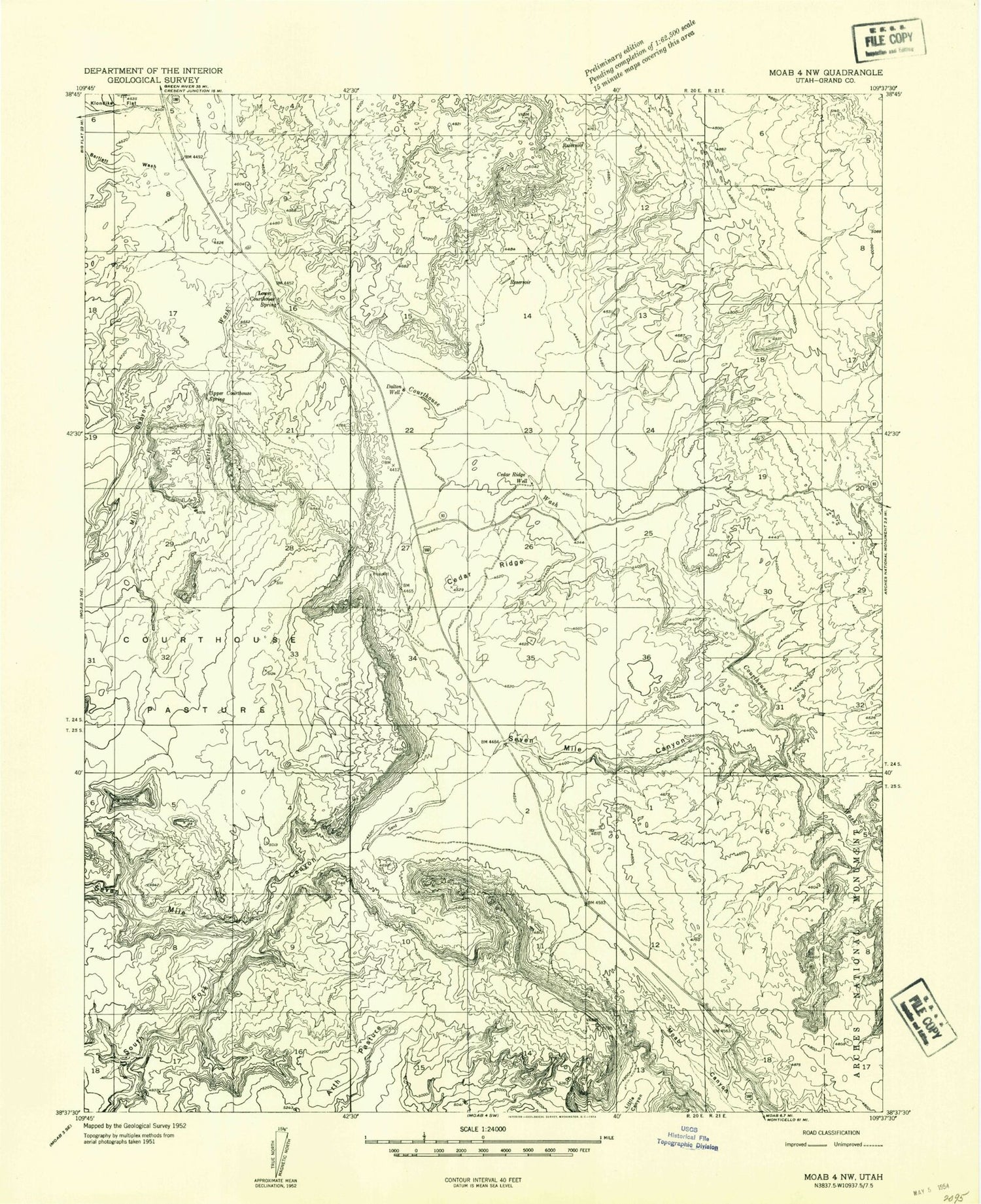
Classic USGS Merrimac Butte Utah 7.5'x7.5' Topo Map
Couldn't load pickup availability
Historical USGS topographic quad map of Merrimac Butte in the state of Utah. Map scale may vary for some years, but is generally around 1:24,000. Print size is approximately 24" x 27"
This quadrangle is in the following counties: Grand.
The map contains contour lines, roads, rivers, towns, and lakes. Printed on high-quality waterproof paper with UV fade-resistant inks, and shipped rolled.
Contains the following named places: Bartlett Wash, Cedar Ridge, Cedar Ridge Well, Corral Canyon, Courthouse Pasture, Courthouse Rock, Courthouse Spring, Dalton Well, Jacks Arch, Klondike Wash, Little Valley, Lower Courthouse Spring, Merrimac Butte, Mill Canyon, Monitor Butte, Sevenmile Canyon, Slickensides Arch, South Fork Sevenmile Canyon, Tusher Canyon, Uranium Arch, Willow Spring


