MyTopo
Classic USGS Merriman SW Nebraska 7.5'x7.5' Topo Map
Regular price
$16.95
Regular price
Sale price
$16.95
Unit price
per
Couldn't load pickup availability
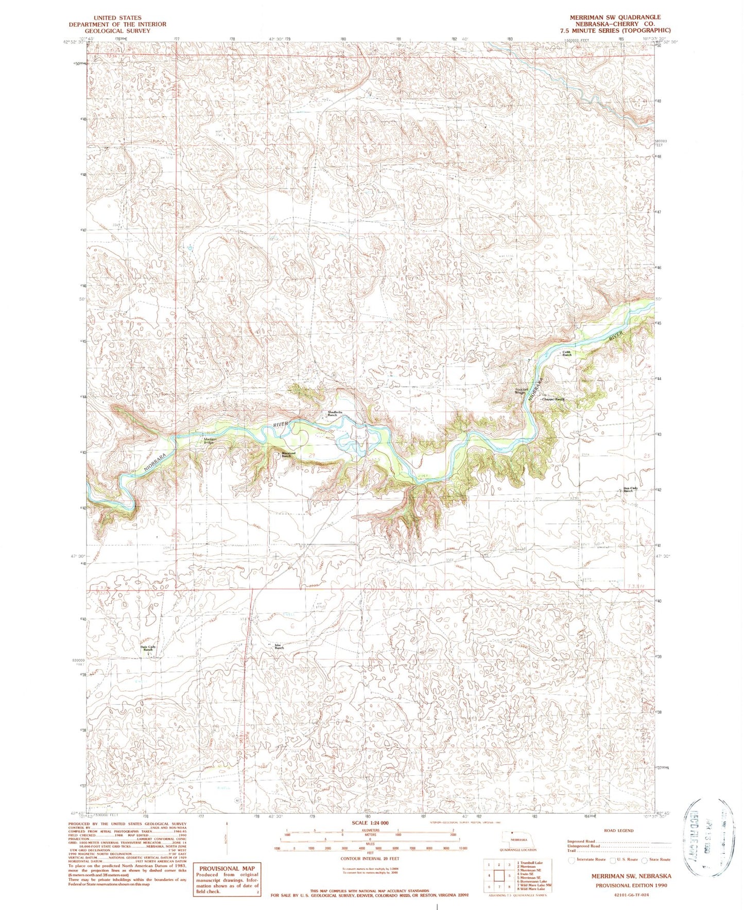
Historical USGS topographic quad map of Merriman SW in the state of Nebraska. Map scale may vary for some years, but is generally around 1:24,000. Print size is approximately 24" x 27"
This quadrangle is in the following counties: Cherry.
The map contains contour lines, roads, rivers, towns, and lakes. Printed on high-quality waterproof paper with UV fade-resistant inks, and shipped rolled.
Contains the following named places: Ben Cady Ranch, Center Cemetery, Chappel Ranch, Cobb Ranch, Dale Cady Ranch, Iske Ranch, Madison Bridge, Moreland Ranch, Rockford Bridge, School Number 34, School Number 74, Shadbolts Ranch, ZIP Code: 69218