MyTopo
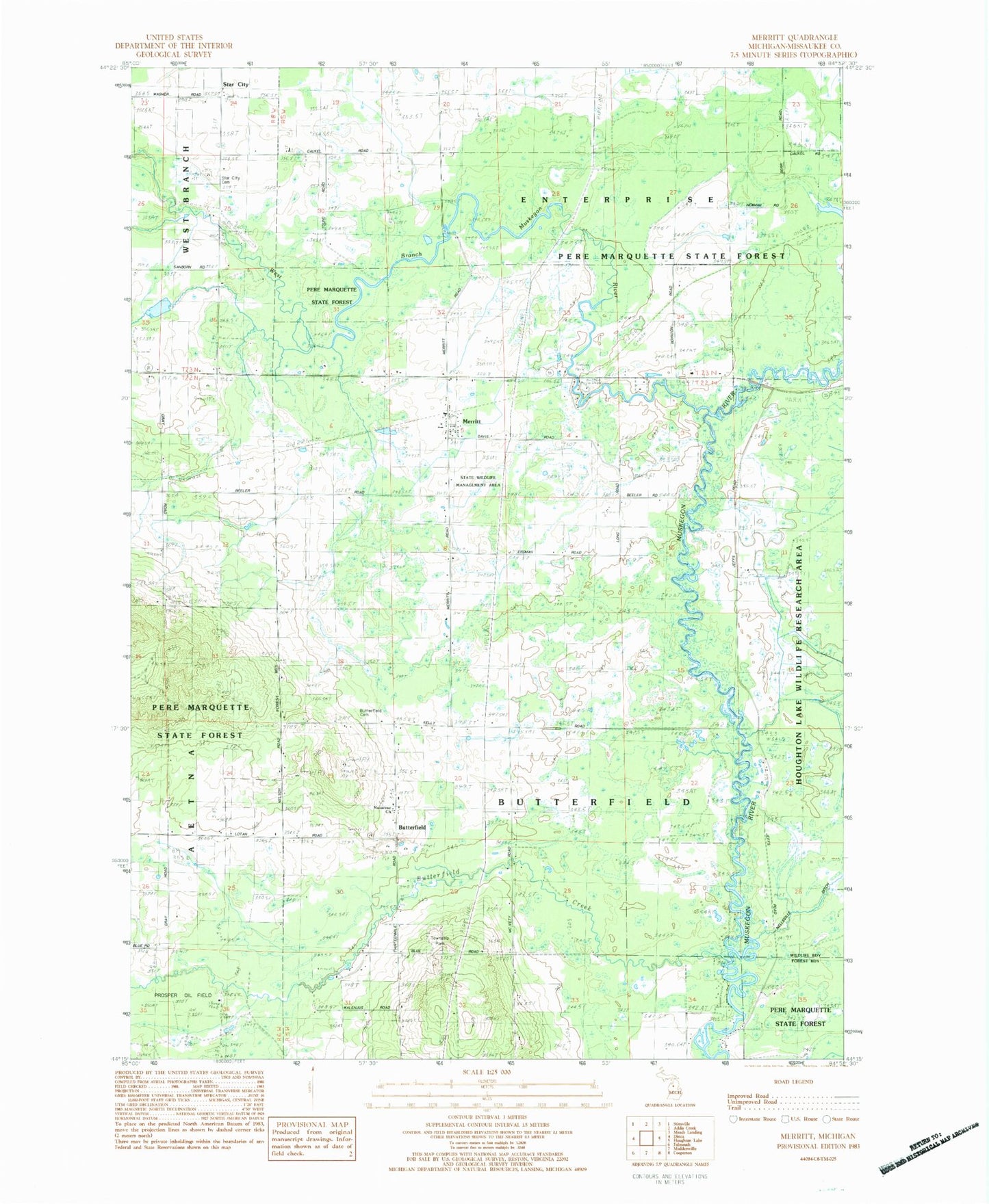
Classic USGS Merritt Michigan 7.5'x7.5' Topo Map
Couldn't load pickup availability
Historical USGS topographic quad map of Merritt in the state of Michigan. Map scale may vary for some years, but is generally around 1:24,000. Print size is approximately 24" x 27"
This quadrangle is in the following counties: Missaukee.
The map contains contour lines, roads, rivers, towns, and lakes. Printed on high-quality waterproof paper with UV fade-resistant inks, and shipped rolled.
Contains the following named places: Ben Jeffs River Park, Butterfield, Butterfield Cemetery, Butterfield Creek, Butterfield Post Office, Butterfield Township Hall, Butterfield Township Park, Edson Corners Post Office, Merritt, Merritt Area Fire Department, Merritt Butterfield Methodist Church, Merritt Post Office, Moddersville Reformed Church, Nazarene Church, Prosper Oil Field, Star City, Star City Cemetery, Star City Post Office, Township of Butterfield, West Branch Muskegon River, ZIP Code: 49667