MyTopo
Classic USGS Merry Oaks North Carolina 7.5'x7.5' Topo Map
Couldn't load pickup availability
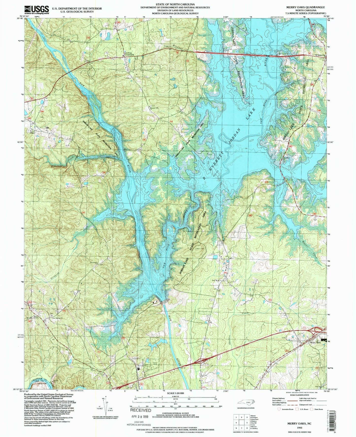
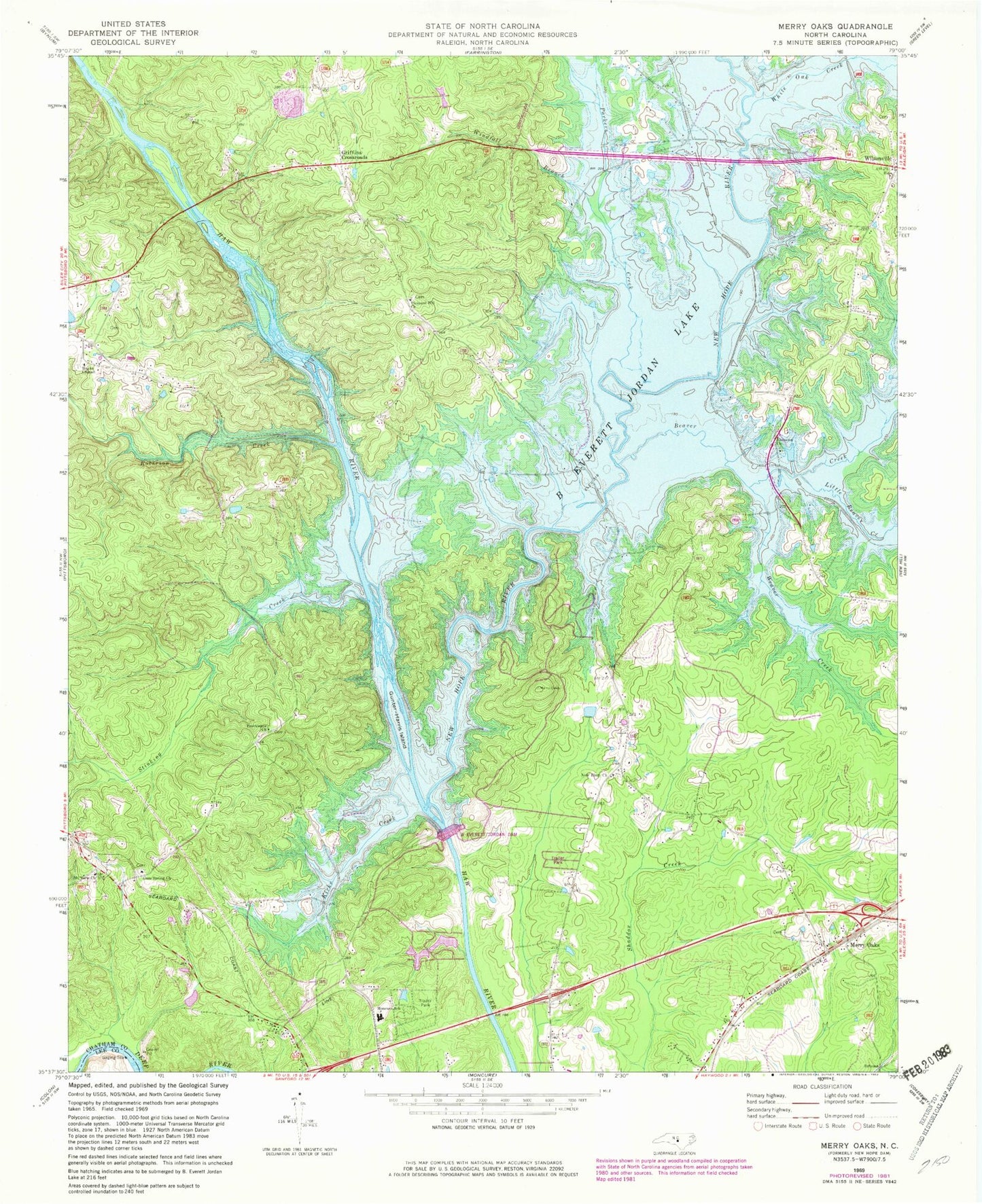
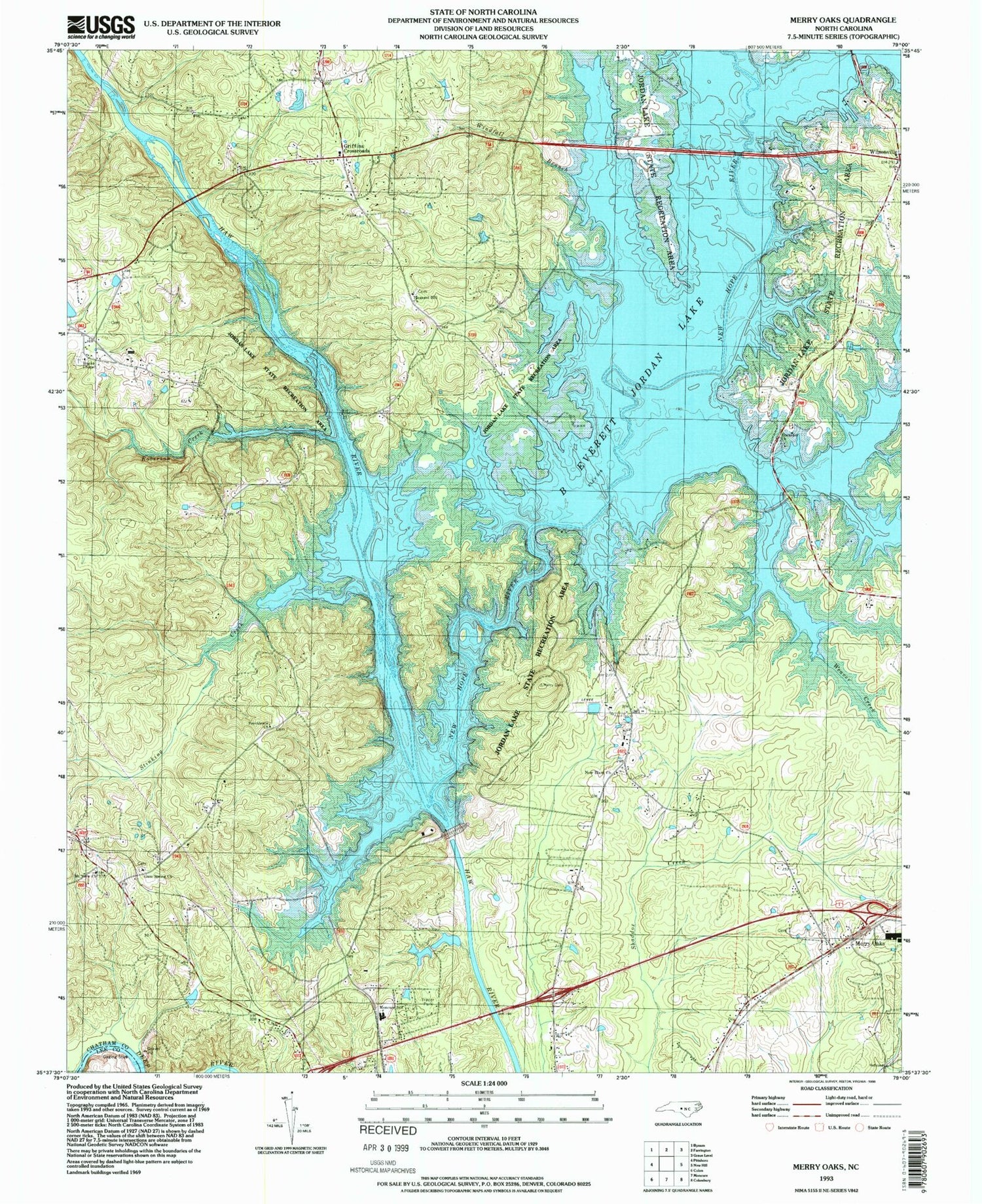
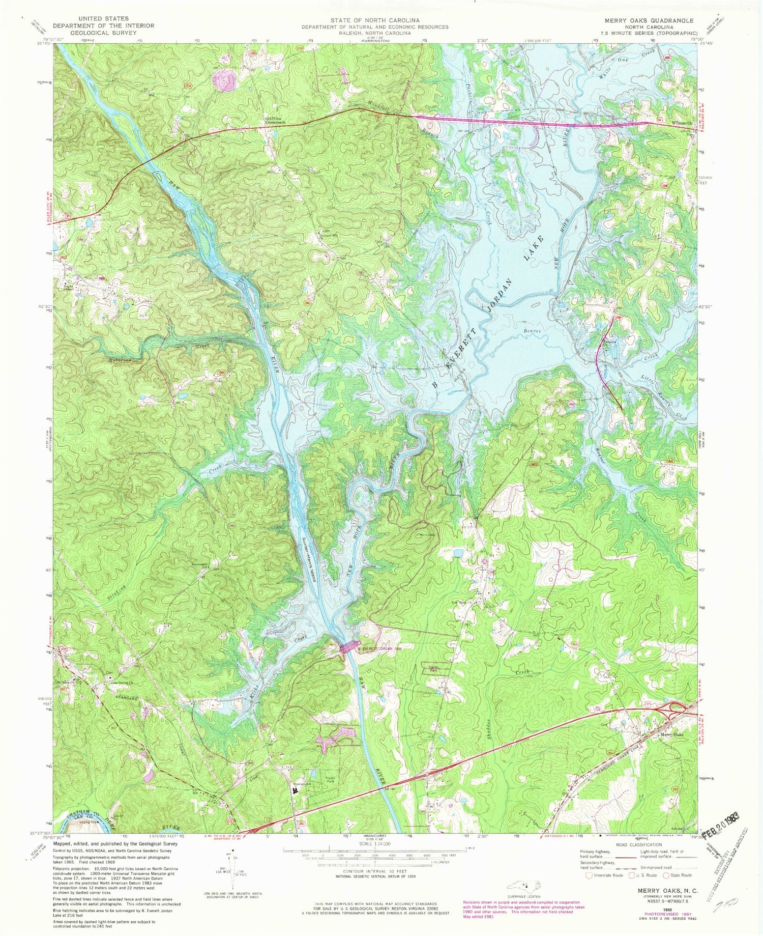
Historical USGS topographic quad map of Merry Oaks in the state of North Carolina. Typical map scale is 1:24,000, but may vary for certain years, if available. Print size: 24" x 27"
This quadrangle is in the following counties: Chatham, Lee.
The map contains contour lines, roads, rivers, towns, and lakes. Printed on high-quality waterproof paper with UV fade-resistant inks, and shipped rolled.
Contains the following named places: B Everett Jordan Lake, Beaver Creek, Ebenezer Church, Gum Spring Church, Gunter-Harris Island, Hanks Chapel, Johnsons Bridge, Kirks Creek, Little Beaver Creek, Moncure School, Moores Bridge, Mount View Church, New Elam Church, New Hope Dam, New Hope River, Parkers Creek, Pleasant Hill Church, Providence Church, Roberson Creek, Seaforth Lake, Stinking Creek, Weaver Creek, White Oak Creek, Wilsonville, Windfall Branch, B Everett Jordan Dam, Griffins Crossroads, Merry Oaks, Seaforth, Township of Haw River, Township of New Hope


