MyTopo
Classic USGS Merryville South Louisiana 7.5'x7.5' Topo Map
Couldn't load pickup availability
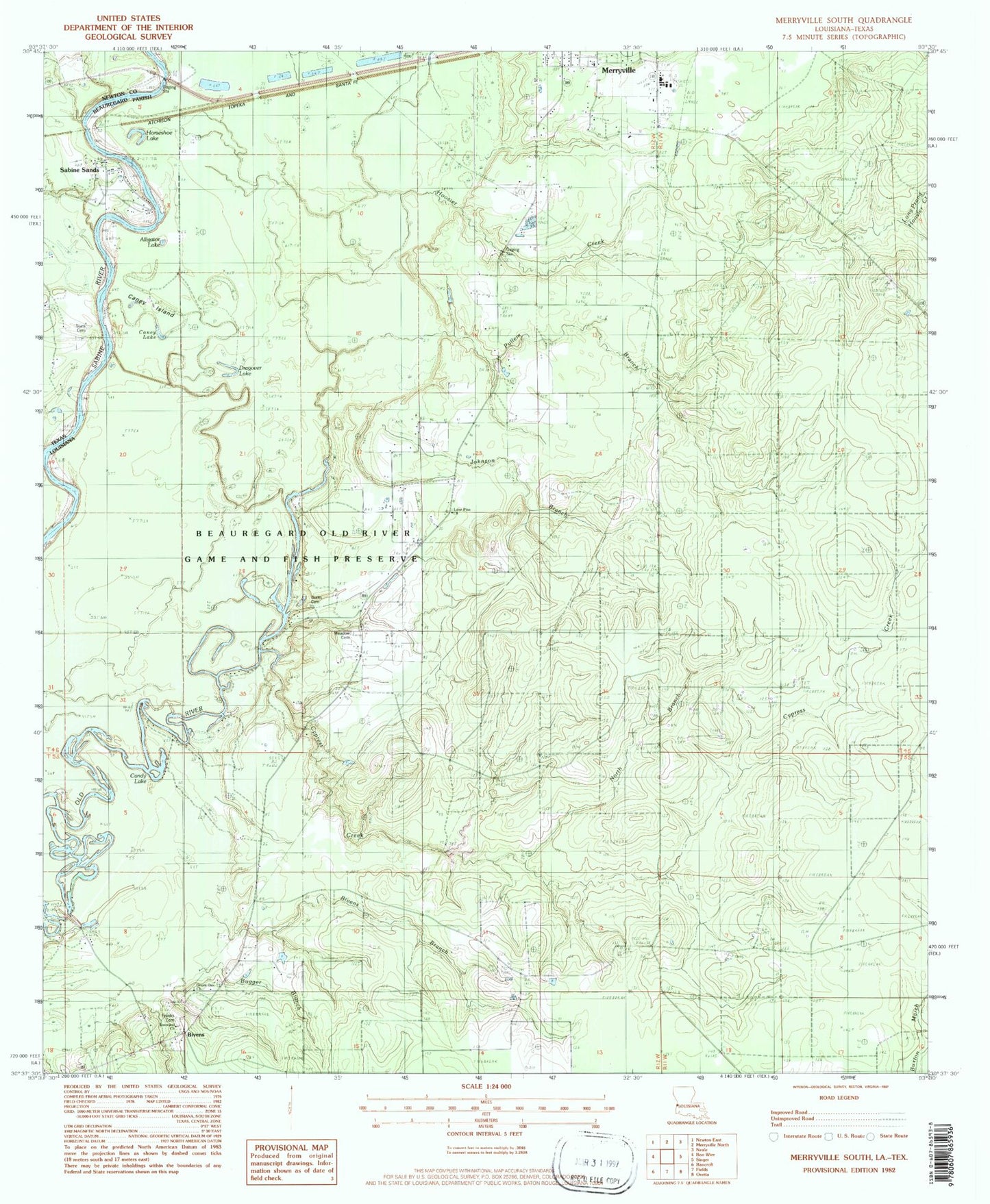
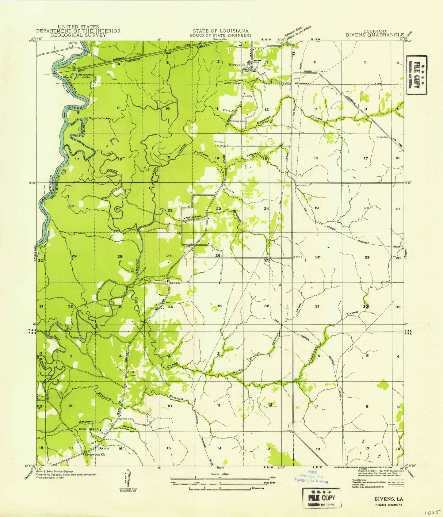
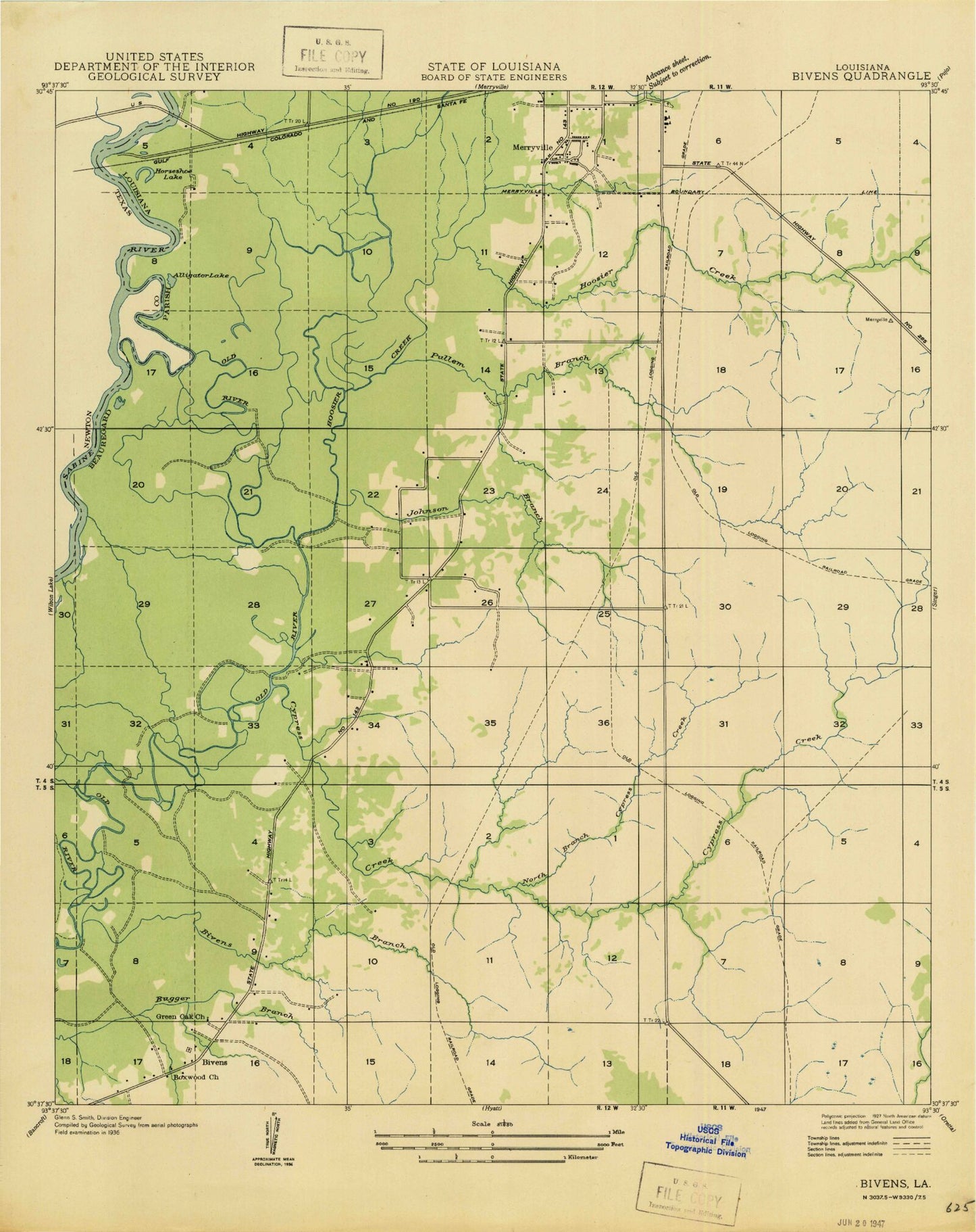
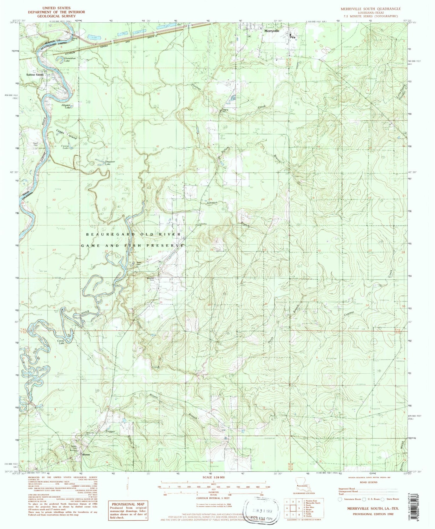
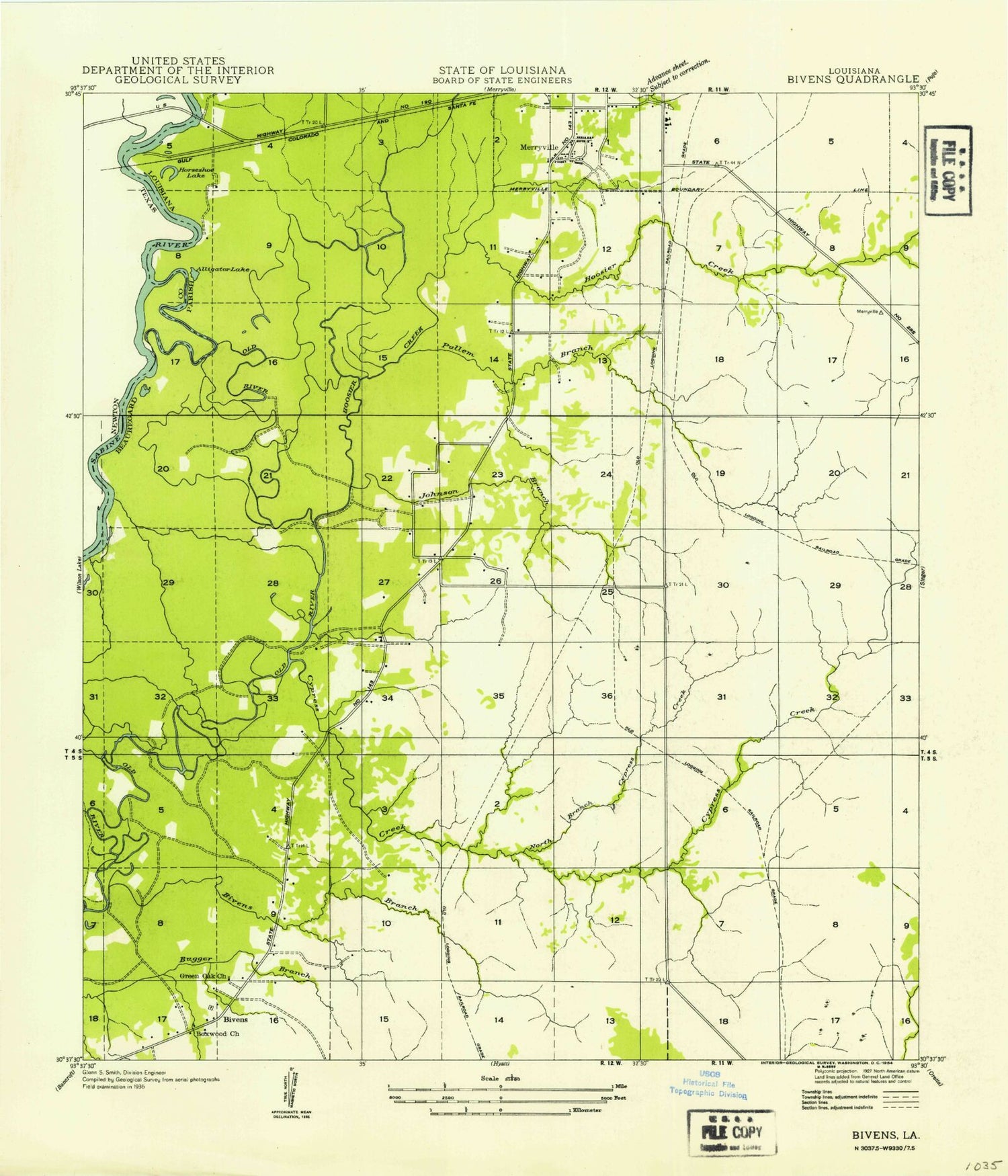
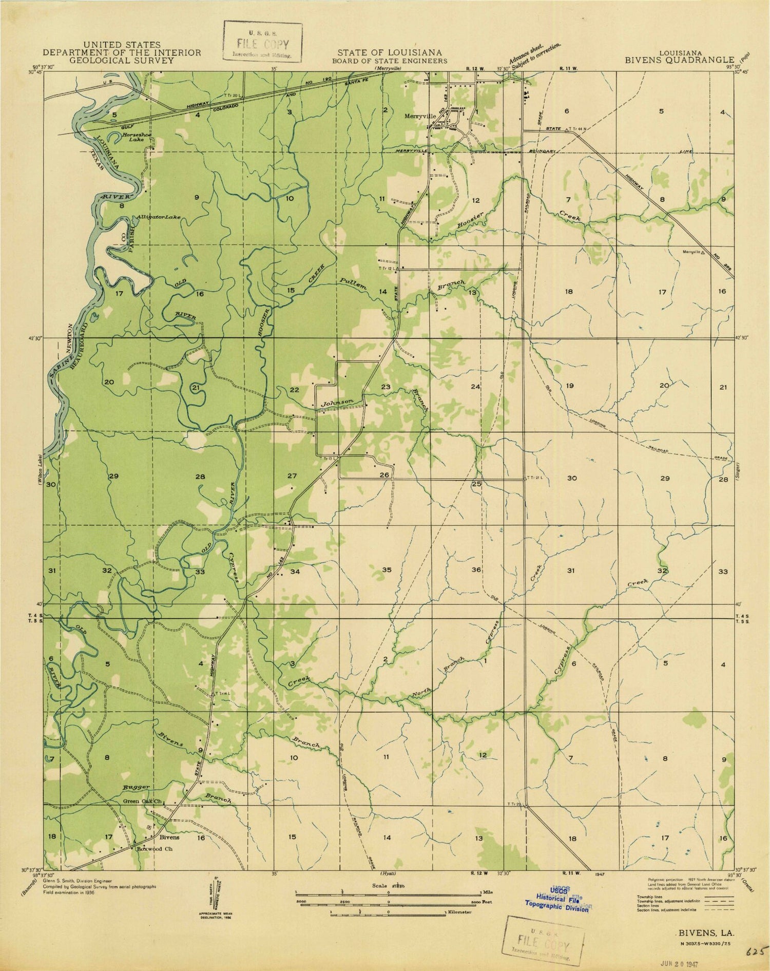
Historical USGS topographic quad map of Merryville South in the states of Louisiana, Texas. Typical map scale is 1:24,000, but may vary for certain years, if available. Print size: 24" x 27"
This quadrangle is in the following counties: Beauregard, Newton.
The map contains contour lines, roads, rivers, towns, and lakes. Printed on high-quality waterproof paper with UV fade-resistant inks, and shipped rolled.
Contains the following named places: Bivens Branch, Bivens Oil Field, Cypress Creek, Franks Cemetery, Hoosier Creek, Johnson Branch, Lone Pine Church, Long Prong Hoosier Creek, North Branch Cypress Creek, Pullen Branch, Beauregard Old River Game and Fish Preserve, Boxwood Church of Christ, Burks Cemetery, Caney Lake, Dragover Lake, Bivens, Merryville Cemetery, Merryville Lookout Tower, North Bivens Oil Field, Northwest Bivens Oil Field, Meadows School (historical), Bivens School (historical), Merryville High School, Alligator Lake, Candy Lake, Horseshoe Lake, Meadow Cemetery, Old River-Hoosier Creek Dam, Green Oak Baptist Church, Merryville Wastewater Treatment Facility, Bivens Volunteer Fire Department District 1, Inman Cemetery, Quicksand Creek, Stark Cemetery, Caney Creek, Bivens Branch, Bivens Oil Field, Cypress Creek, Franks Cemetery, Hoosier Creek, Johnson Branch, Lone Pine Church, Long Prong Hoosier Creek, North Branch Cypress Creek, Pullen Branch, Beauregard Old River Game and Fish Preserve, Boxwood Church of Christ, Burks Cemetery, Caney Lake, Dragover Lake, Bivens, Merryville Cemetery, Merryville Lookout Tower, North Bivens Oil Field, Northwest Bivens Oil Field, Meadows School (historical), Bivens School (historical), Merryville High School, Alligator Lake, Candy Lake, Horseshoe Lake, Meadow Cemetery, Old River-Hoosier Creek Dam, Green Oak Baptist Church, Merryville Wastewater Treatment Facility, Bivens Volunteer Fire Department District 1, Inman Cemetery, Quicksand Creek, Stark Cemetery, Caney Creek
