MyTopo
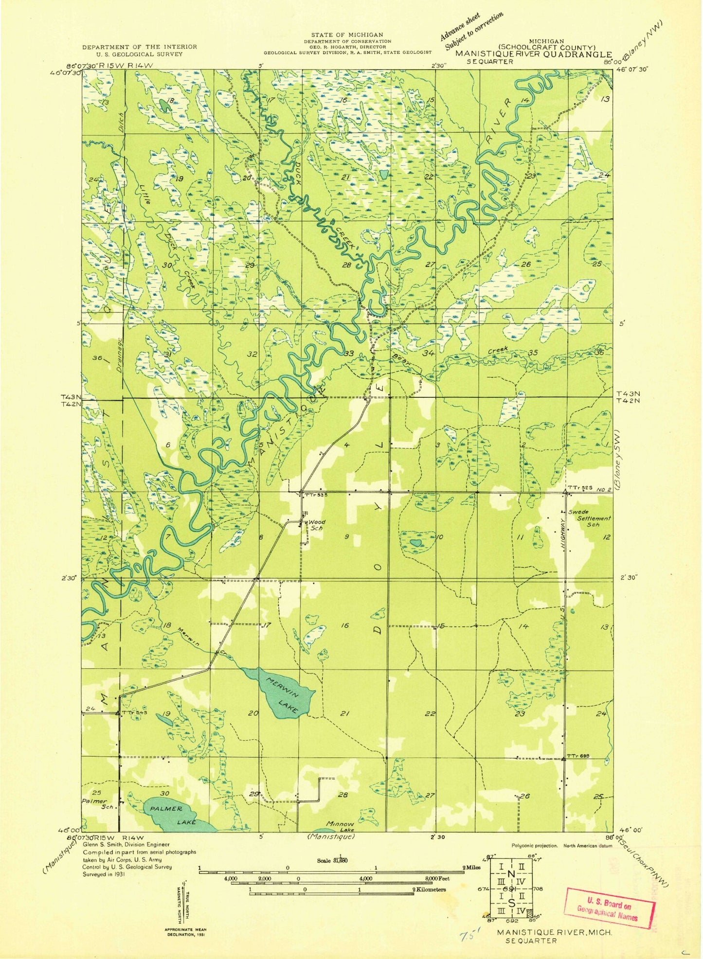
Classic USGS Merwin Lake Michigan 7.5'x7.5' Topo Map
Regular price
$16.95
Regular price
Sale price
$16.95
Unit price
per
Couldn't load pickup availability
Historical USGS topographic quad map of Merwin Lake in the state of Michigan. Map scale may vary for some years, but is generally around 1:24,000. Print size is approximately 24" x 27"
This quadrangle is in the following counties: Schoolcraft.
The map contains contour lines, roads, rivers, towns, and lakes. Printed on high-quality waterproof paper with UV fade-resistant inks, and shipped rolled.
Contains the following named places: Bear Creek, Black Creek, Black Lake, Boucher Creek, Clemons Creek, Cub Bear Creek, Dougal Creek, Duck Creek, Little Duck Creek, McIntyre Lake, Merwin Creek, Merwin Creek Campground, Merwin Lake, Mud Lake, Palmer Lake, Salter Lake, Woods Cemetery, Woods School, ZIP Code: 49840