MyTopo
Classic USGS Mesa Gallina New Mexico 7.5'x7.5' Topo Map
Regular price
$16.95
Regular price
Sale price
$16.95
Unit price
per
Couldn't load pickup availability
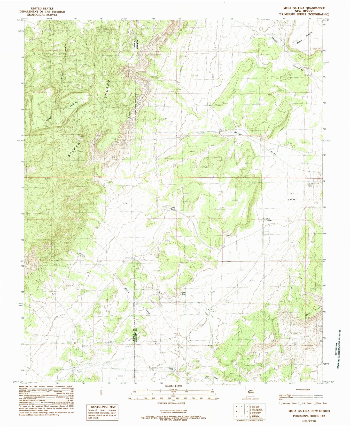
Historical USGS topographic quad map of Mesa Gallina in the state of New Mexico. Map scale may vary for some years, but is generally around 1:24,000. Print size is approximately 24" x 27"
This quadrangle is in the following counties: Cibola, Valencia.
The map contains contour lines, roads, rivers, towns, and lakes. Printed on high-quality waterproof paper with UV fade-resistant inks, and shipped rolled.
Contains the following named places: Casey Tank, Cerro del Indio, Darnell Ranch, Dead Cow Windmill, Garley Windmill, Kings Rest, Los Valles, Mesa Gallina, North Tank, Rock Creek, Romero Ranch, Salt Flats, Yriart Ranch