MyTopo
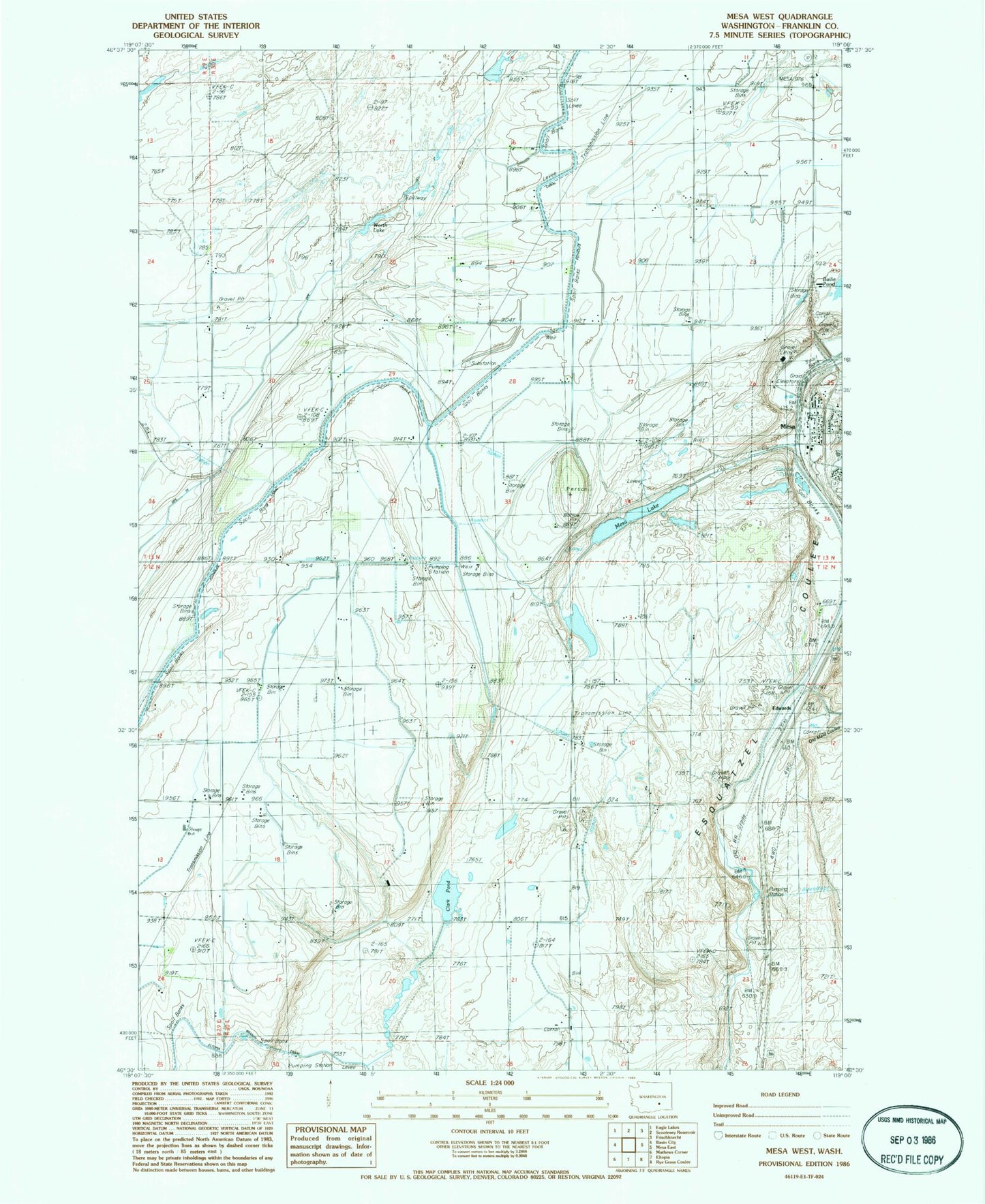
Classic USGS Mesa West Washington 7.5'x7.5' Topo Map
Couldn't load pickup availability
Historical USGS topographic quad map of Mesa West in the state of Washington. Map scale may vary for some years, but is generally around 1:24,000. Print size is approximately 24" x 27"
This quadrangle is in the following counties: Franklin.
The map contains contour lines, roads, rivers, towns, and lakes. Printed on high-quality waterproof paper with UV fade-resistant inks, and shipped rolled.
Contains the following named places: Bailie Pond, Bernsens 810 Reservoir, Bernsens 810 Reservoir Dam Number One, Bernsens 810 Reservoir Dam Number Three, Bernsens 810 Reservoir Dam Number Two, Bernsens Duck Pond Dam, City of Mesa, Clark Pond, DPE Thirtynine, Duck Pond, Edwards, Franklin County Public Hospital District 1 Ambulance Service, Hathaway Ranch Airport, Mesa, Mesa Elementary School, Mesa Lake, Mesa Post Office, Old Maid Coulee, Poe Park, Slinkard Airfield, Worth Lake