MyTopo
Classic USGS Mesa New Mexico 7.5'x7.5' Topo Map
Couldn't load pickup availability
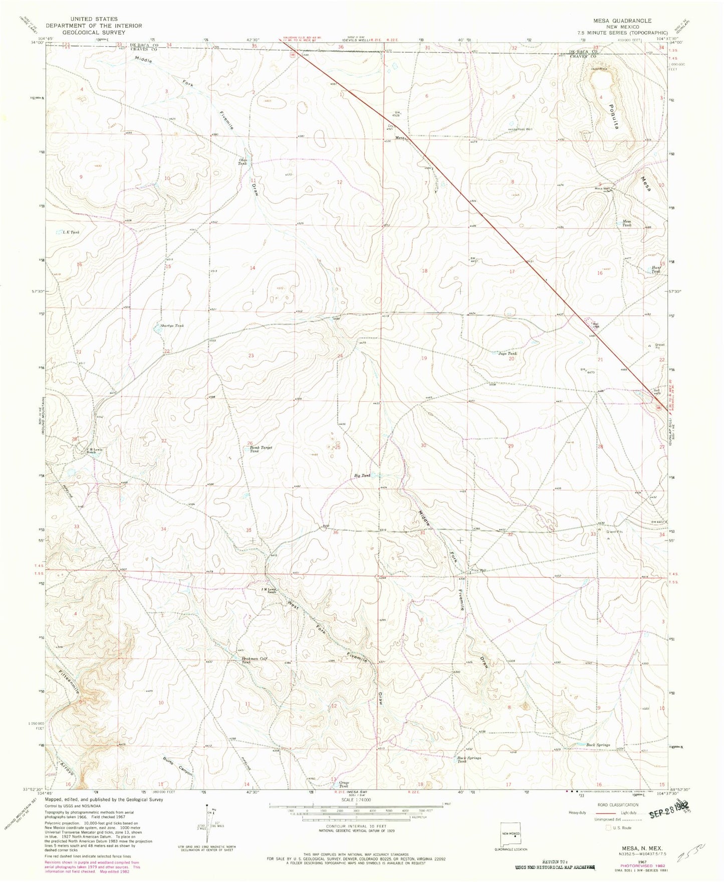
Historical USGS topographic quad map of Mesa in the state of New Mexico. Map scale may vary for some years, but is generally around 1:24,000. Print size is approximately 24" x 27"
This quadrangle is in the following counties: Chaves, De Baca.
The map contains contour lines, roads, rivers, towns, and lakes. Printed on high-quality waterproof paper with UV fade-resistant inks, and shipped rolled.
Contains the following named places: Big Tank, Bomb Target Tank, Brahman California Tank, Buck Springs, Buck Springs Tank, C H Lewis Ranch, E L Tank, Grage Tank, Haas Well, Hunt Tank, J M Lewis Ranch, Jugs Tank, Mesa, Mesa and Pecos Valley Historical Marker, Mesa Tank, Mesa Weather Station, Mesa Well, Olas Tank, Shortys Tank, West Fork Fivemile Draw