MyTopo
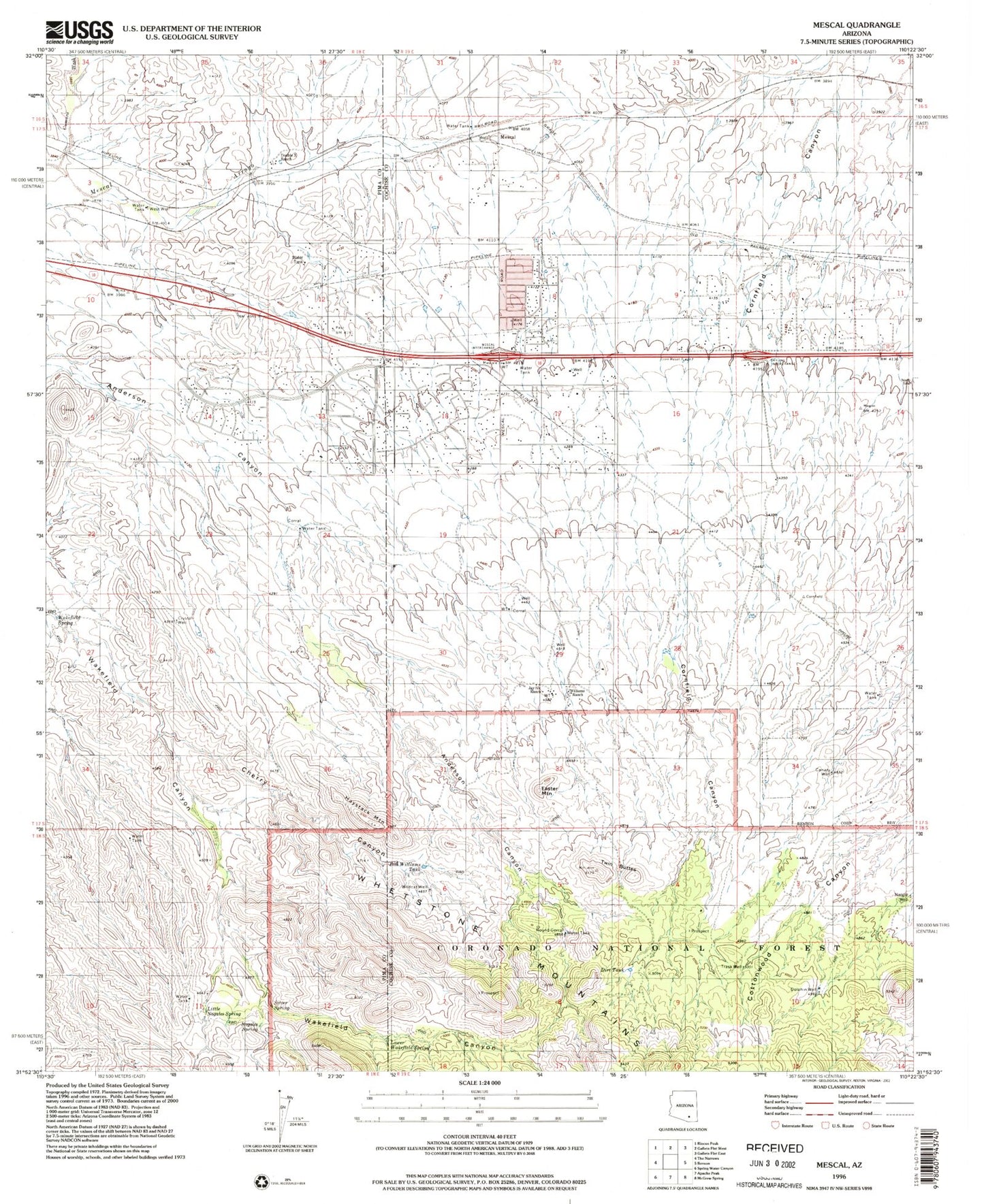
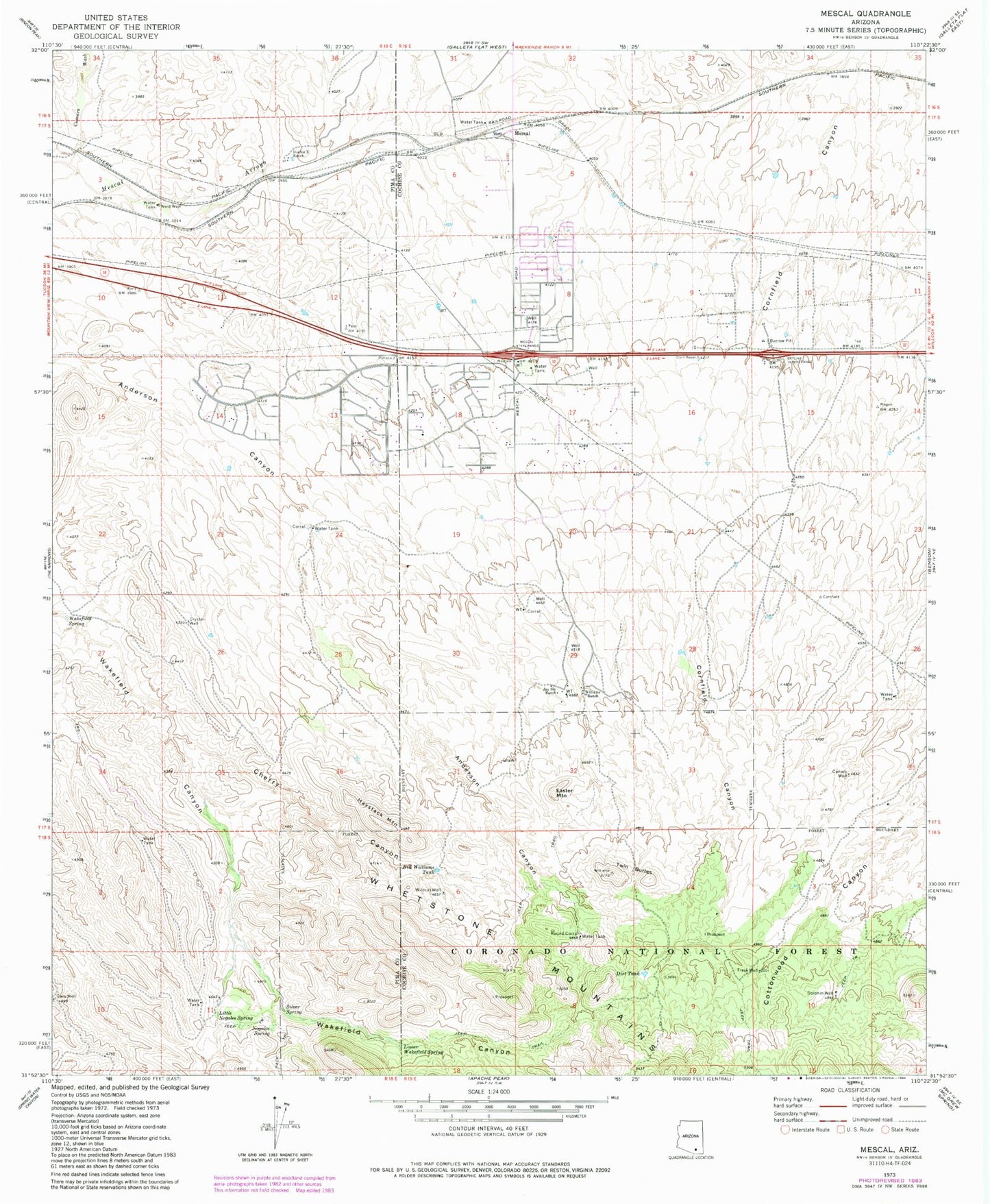
Classic USGS Mescal Arizona 7.5'x7.5' Topo Map
Couldn't load pickup availability
Historical USGS topographic quad map of Mescal in the state of Arizona. Map scale may vary for some years, but is generally around 1:24,000. Print size is approximately 24" x 27"
This quadrangle is in the following counties: Cochise, Pima.
The map contains contour lines, roads, rivers, towns, and lakes. Printed on high-quality waterproof paper with UV fade-resistant inks, and shipped rolled.
Contains the following named places: B Smith Ranch, Bill Williams Tank, Canary Well, Cherry Canyon, Church of Christ, Community Bible Church, Crystal Well, Cumaro Wash, Dead Cow Spring, Dirt Tank, Dolphin Well, Double X Ranch, Easter Mountain, Forest Well, Haystack Mountain, Jason Well, Jay Six Ranch, J-Six Ranchettes Census Designated Place, KAVV-FM (Benson), KAVV-FM (Sierra Vista), Little Nogales Spring, Lower Walkerfield Spring, Mescal, Mescal - J6 Fire District, Mescal Census Designated Place, Naegle Well, New West School, Nogales Spring, North Tank, Peace in the Valley Lutheran Church, Pimaco Two, Round Corral, Silver Spring, Trask Well, Twin Buttes, Wakefield Spring, West Well, Wildcat Well, Williams Ranch, Williams Well


