MyTopo
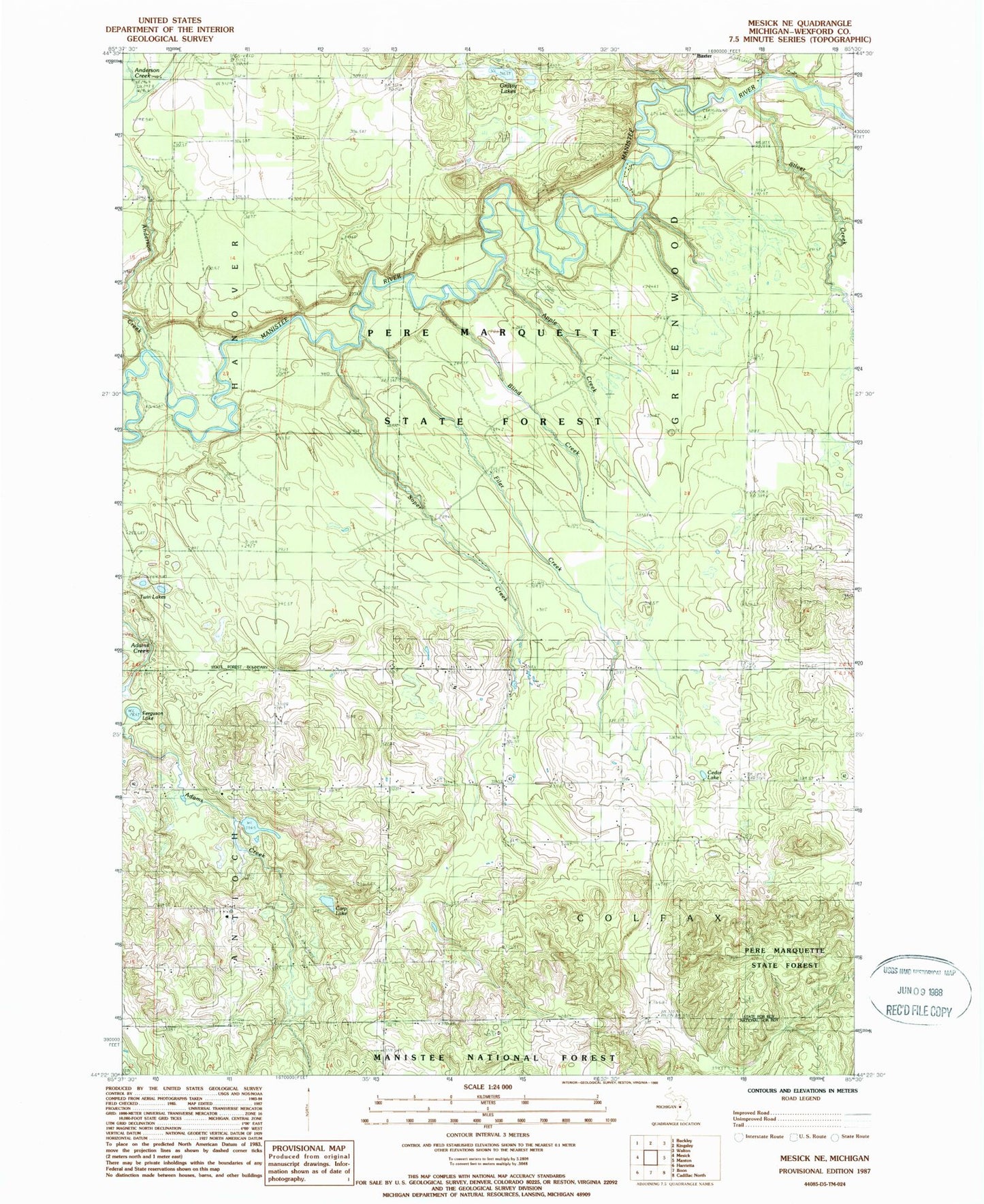
Classic USGS Mesick NE Michigan 7.5'x7.5' Topo Map
Couldn't load pickup availability
Historical USGS topographic quad map of Mesick NE in the state of Michigan. Typical map scale is 1:24,000, but may vary for certain years, if available. Print size: 24" x 27"
This quadrangle is in the following counties: Wexford.
The map contains contour lines, roads, rivers, towns, and lakes. Printed on high-quality waterproof paper with UV fade-resistant inks, and shipped rolled.
Contains the following named places: Anderson Creek, Apple Creek, Blind Creek, Carp Lake, Cedar Lake, Colfax Church, Ferguson Lake, Filer Creek, Grassy Lakes, Silver Creek, Soper Cemetery, Soper Creek, Twin Lakes, Baxter Bridge, Township of Colfax, Township of Greenwood, Wheatland Post Office (historical), Baxter Bridge State Forest Campground, Colfax - Greenwood Volunteer Fire Department